Today I invited a group of friends to join me on a hike to the waterfalls on Mount Diablo. It was a perfect day to do it. It rained hard last week but has since been sunny leaving the trail dry but lots of water for the falls. We started the hike at the end of Regency Dr. in Clayton. You want to follow the trail through the gates to Mount Diablo park. You will see a large map posted. The trail will immediately split with one going up and to the right but make sure you stay on the trail that is flat and straight ahead. This trail is called the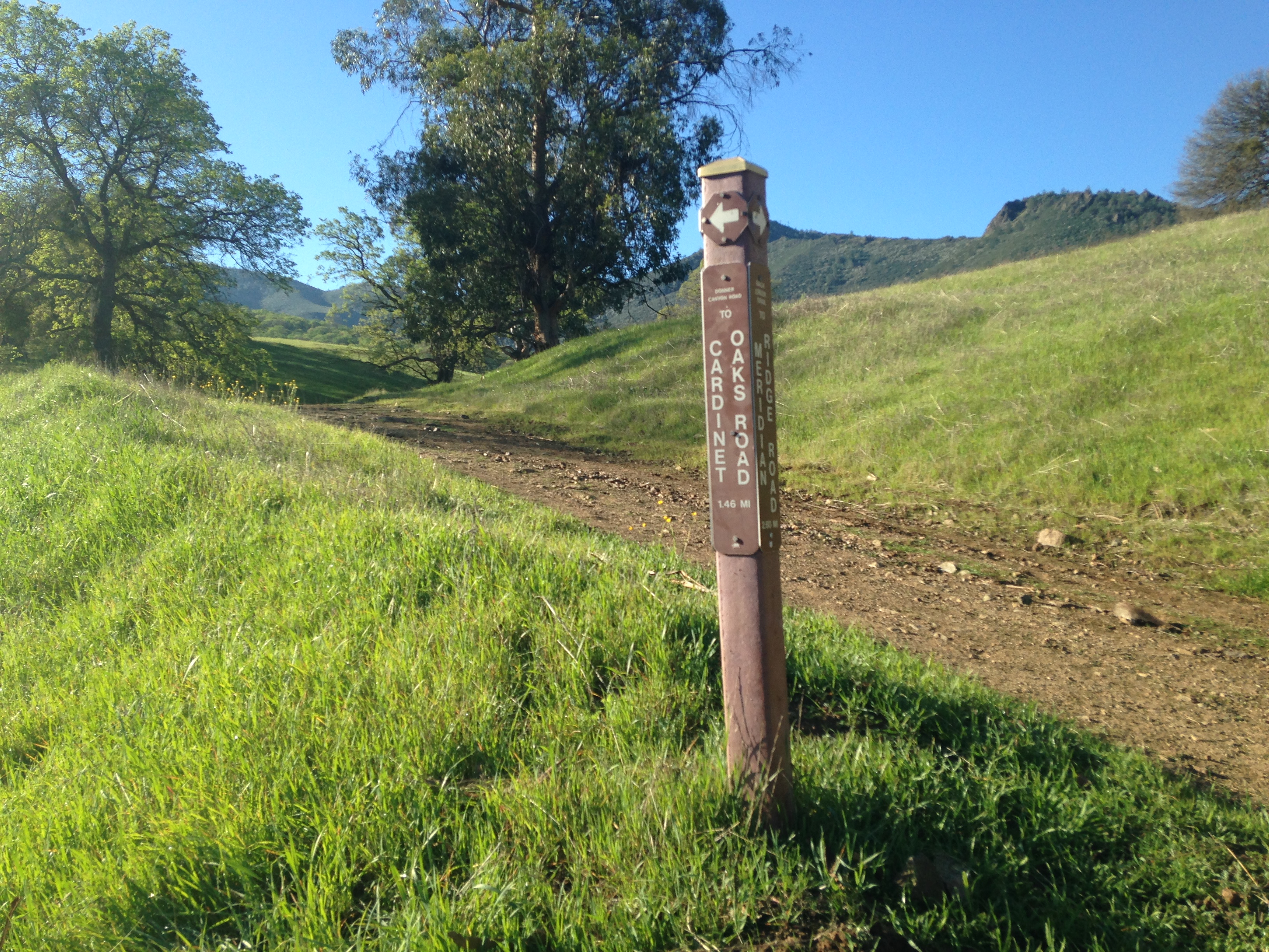 Cardinet Oaks Road. Continue to follow this trail. You will see a lot of other trails break off of this main road but stay on this road.
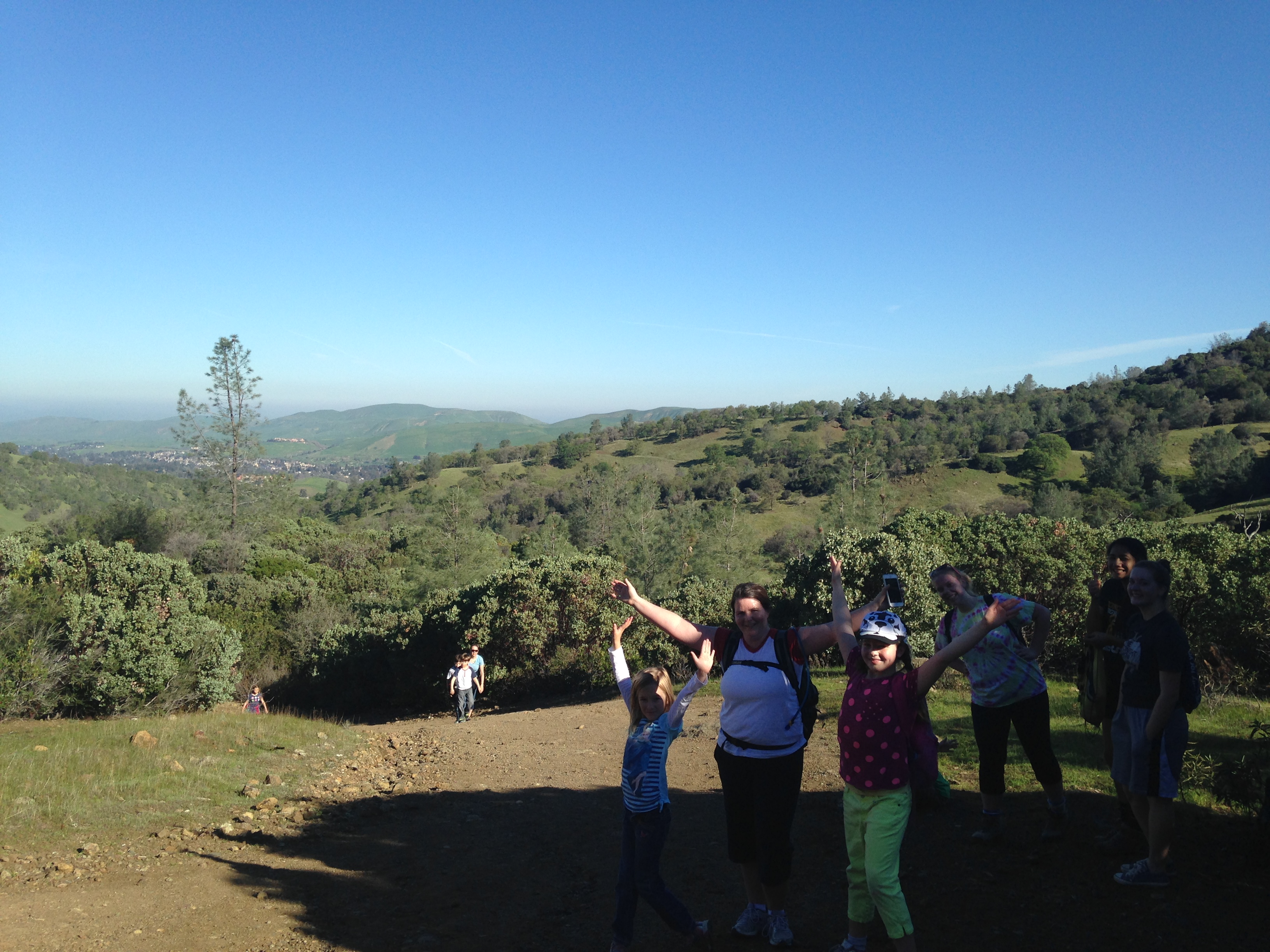
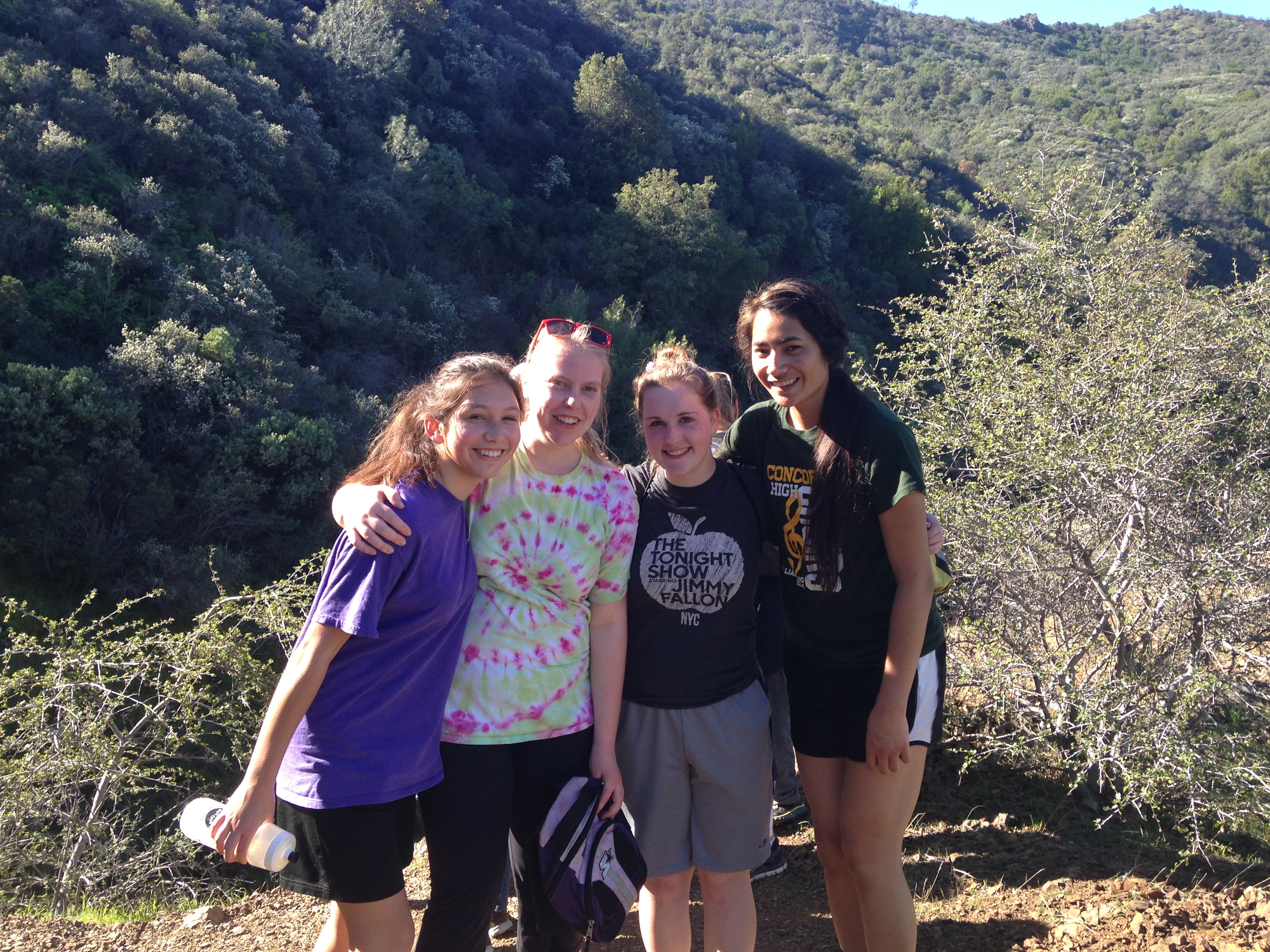
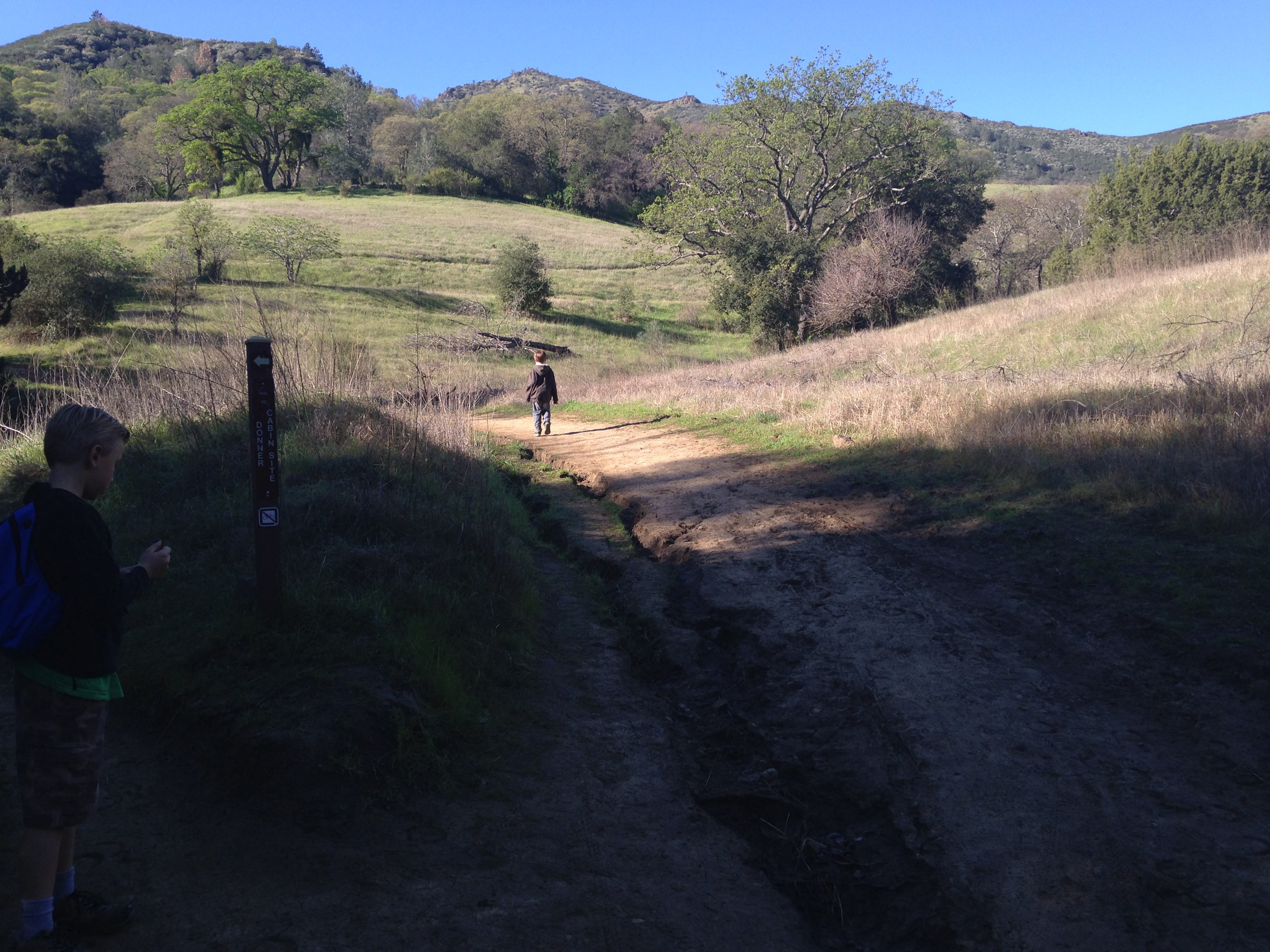 The first part of this trail is very easy but it does have a steep hill after about a mile. Once you have climbed a bit the trail will level off and you will reach an intersection. You want to take Boundary Park to the left. Here are some pictures from this point.
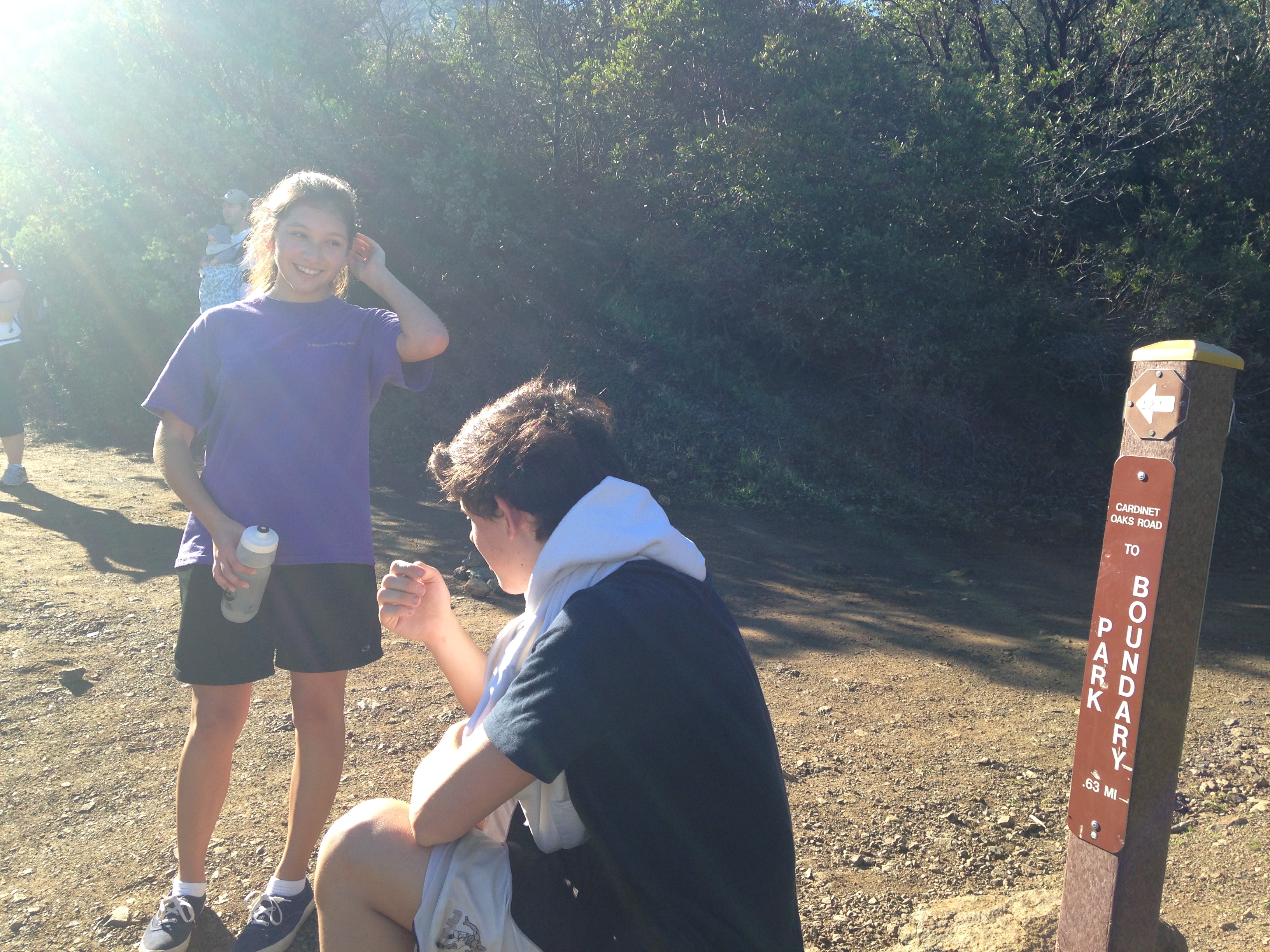
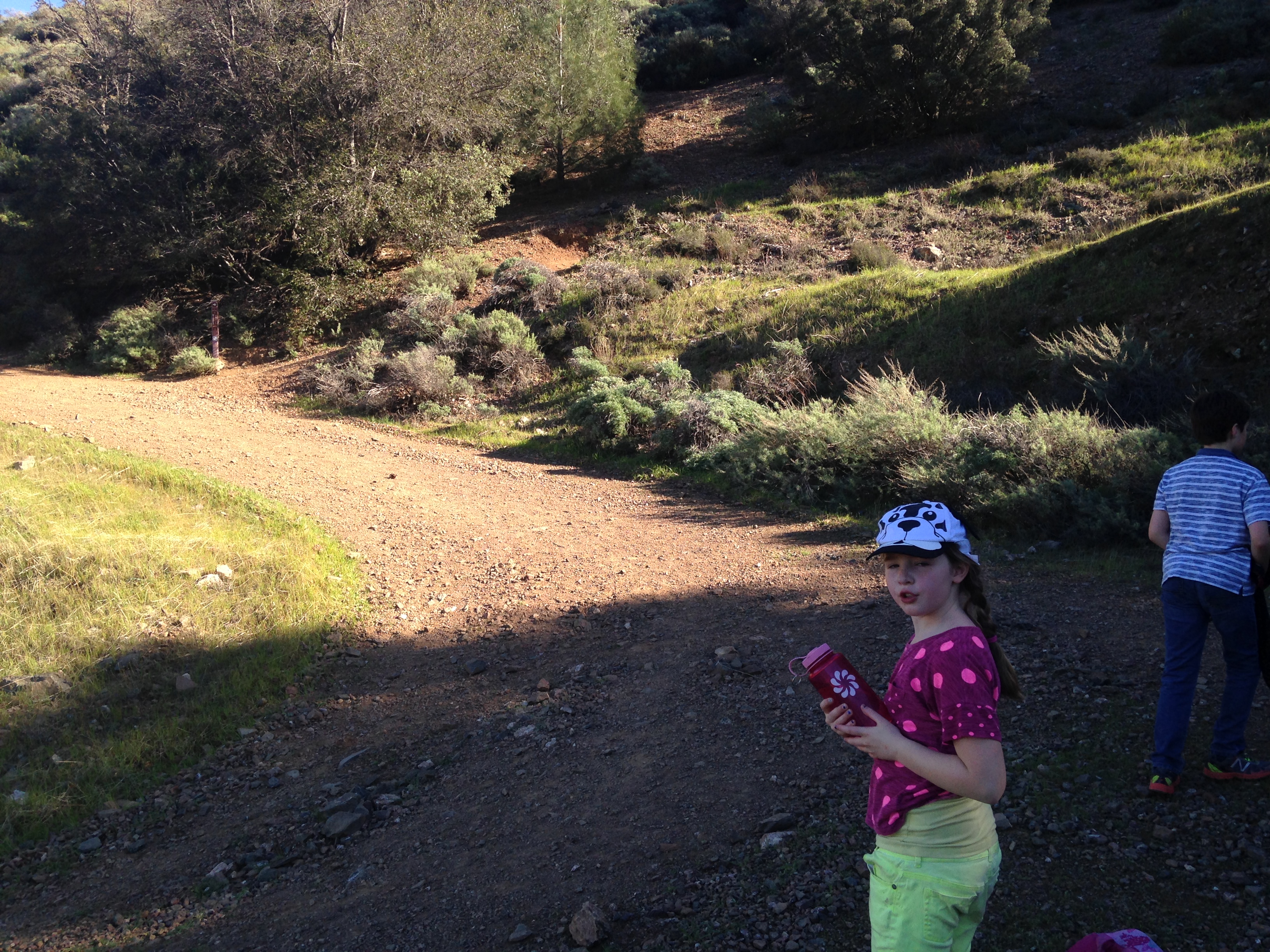
 This trail is going to take you to a creek crossing. After crossing the creek you will begin to climb. The next trail you need to take is the Middle Trail. Here are some pictures of the spot where the turn off is. It can be hard to find.
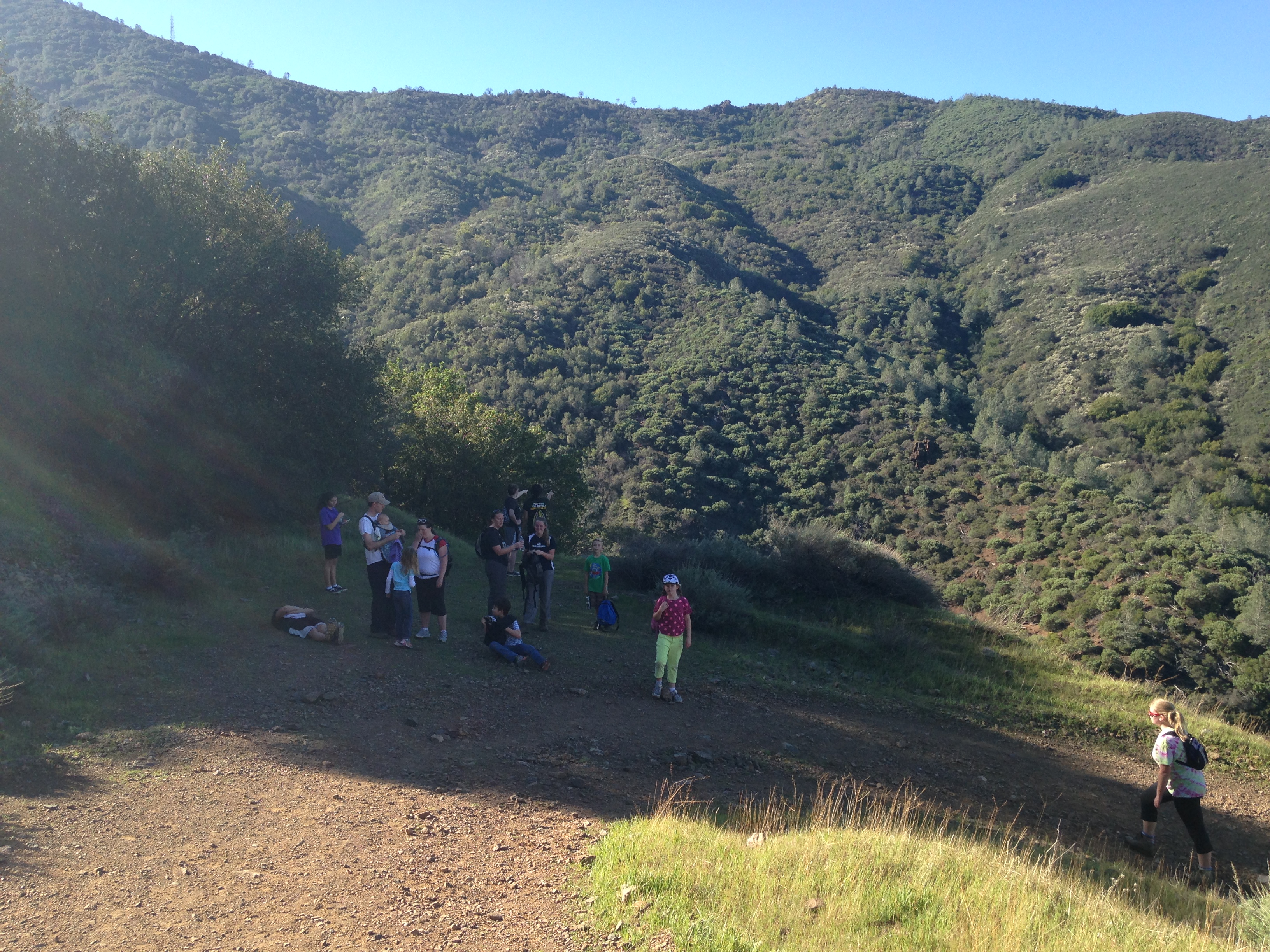
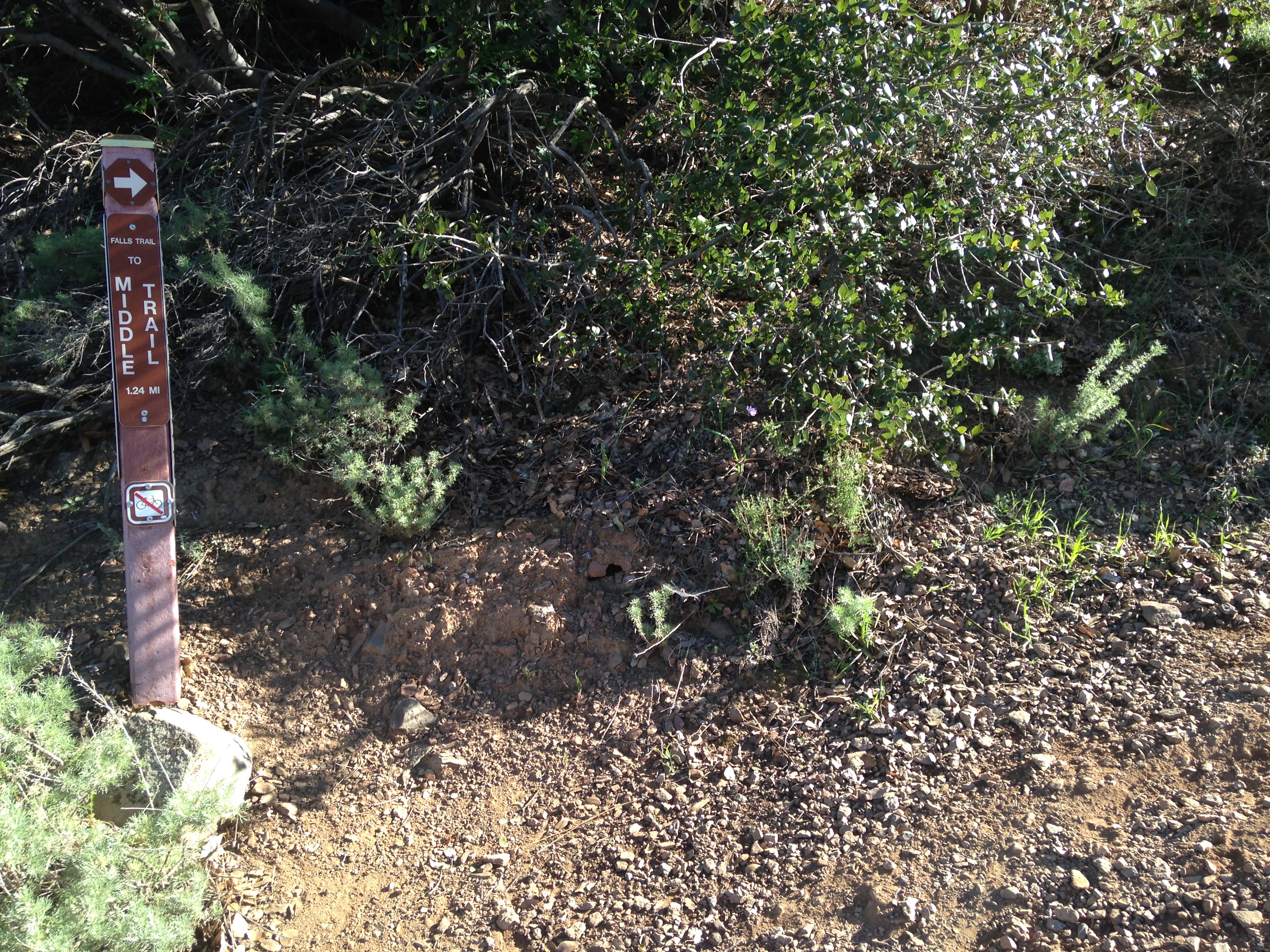
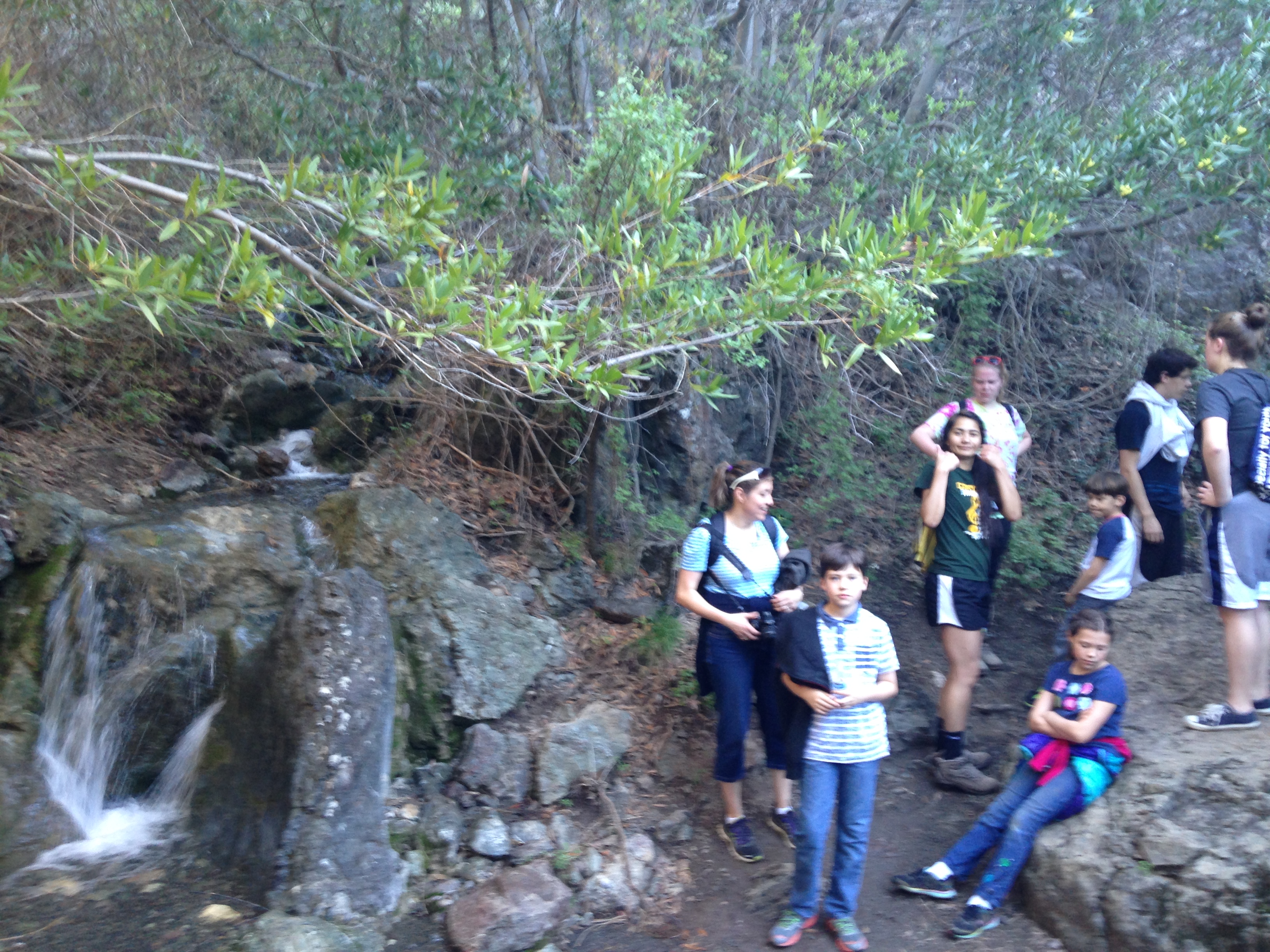
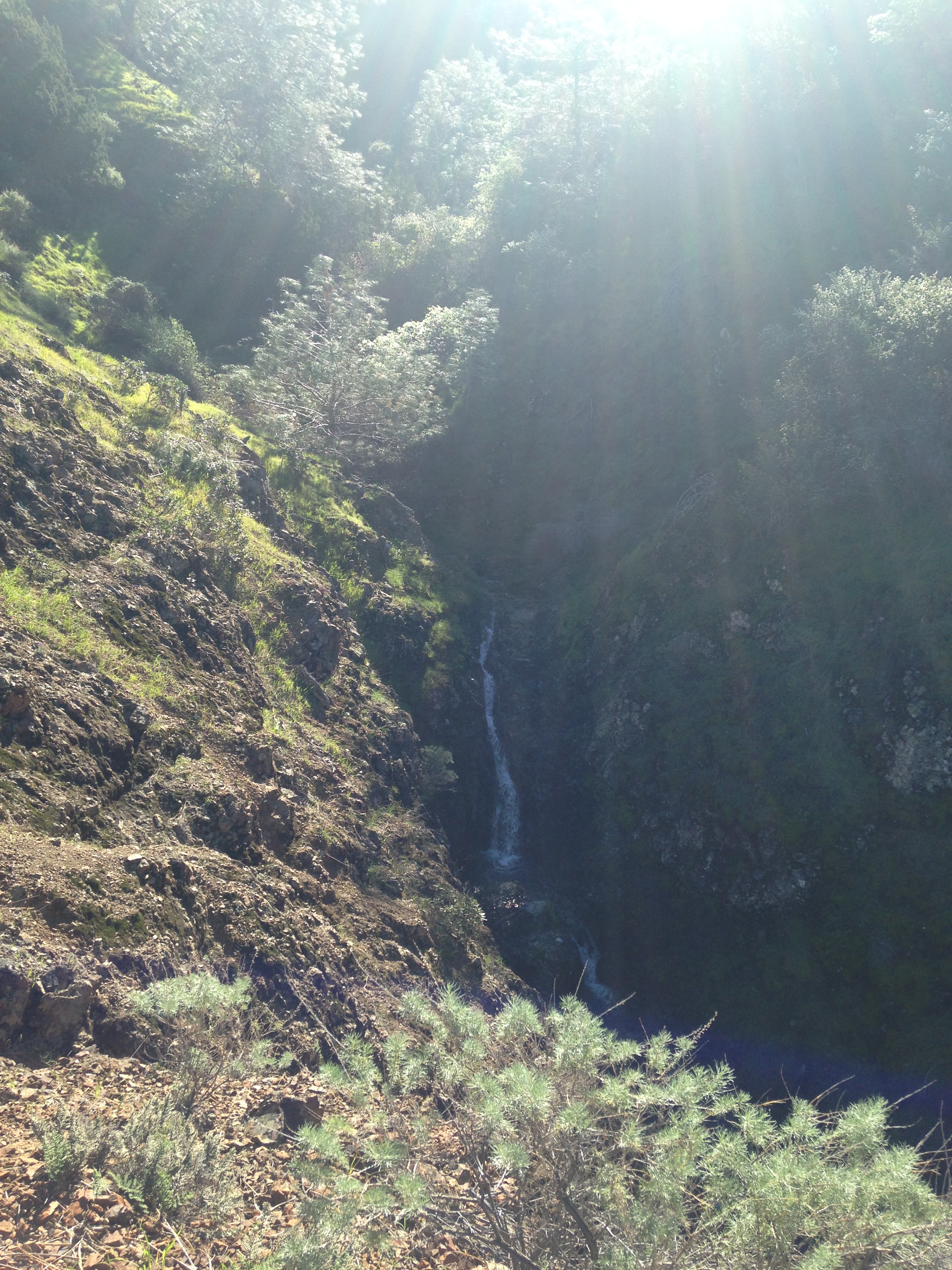
After coming around this curve you will find the trail post on the right. Up to this point you have been on a wide trail but this Middle trail is much smaller. It is less groomed and you need to watch your footing. You will come to a point where the trail splits. Follow the post that says “trail” and points up. You can follow the other trail down where you will have a great view of one of the falls but you need to go back to the trail to continue on. 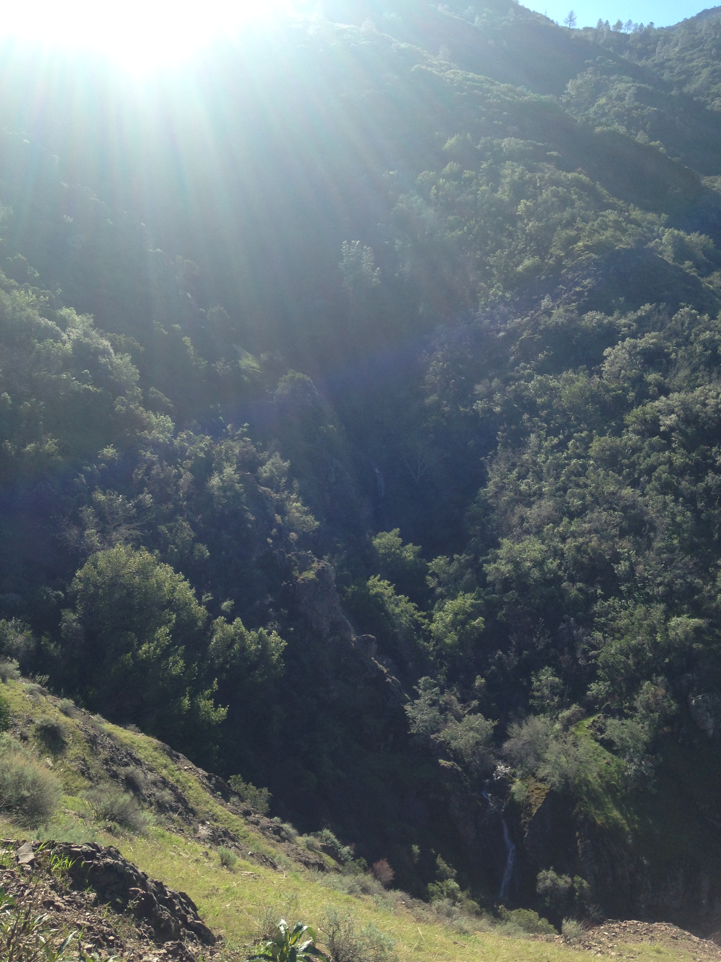 You can barely see the falls at the bottom of this pictures.
Continue on until you reach the waterfall and creek crossing.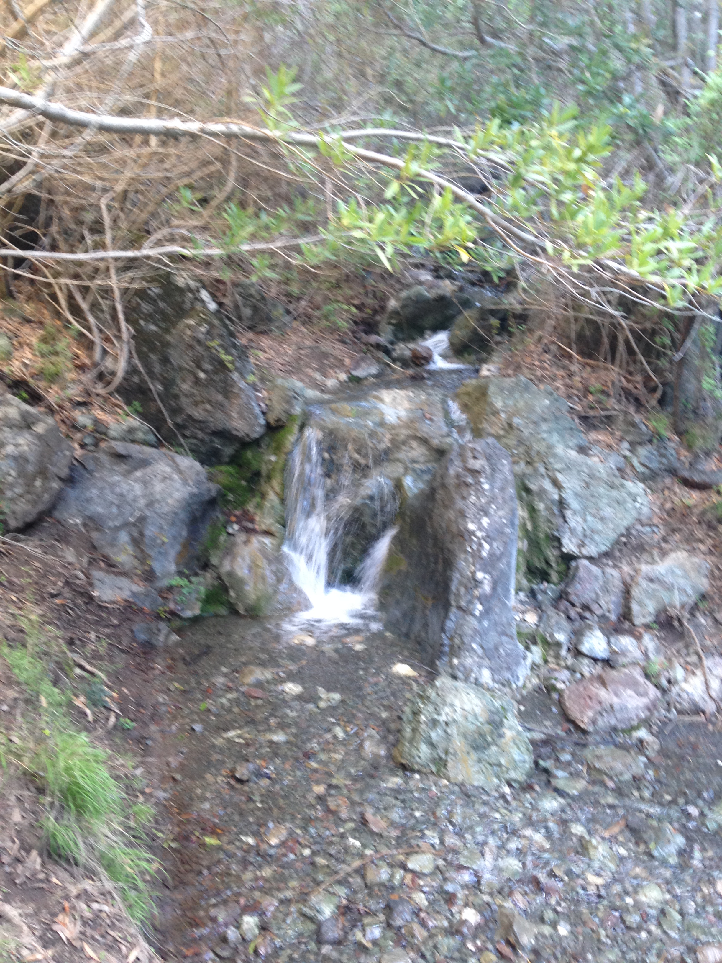
 Keep going. You will hit some more small falls just a few yards away.
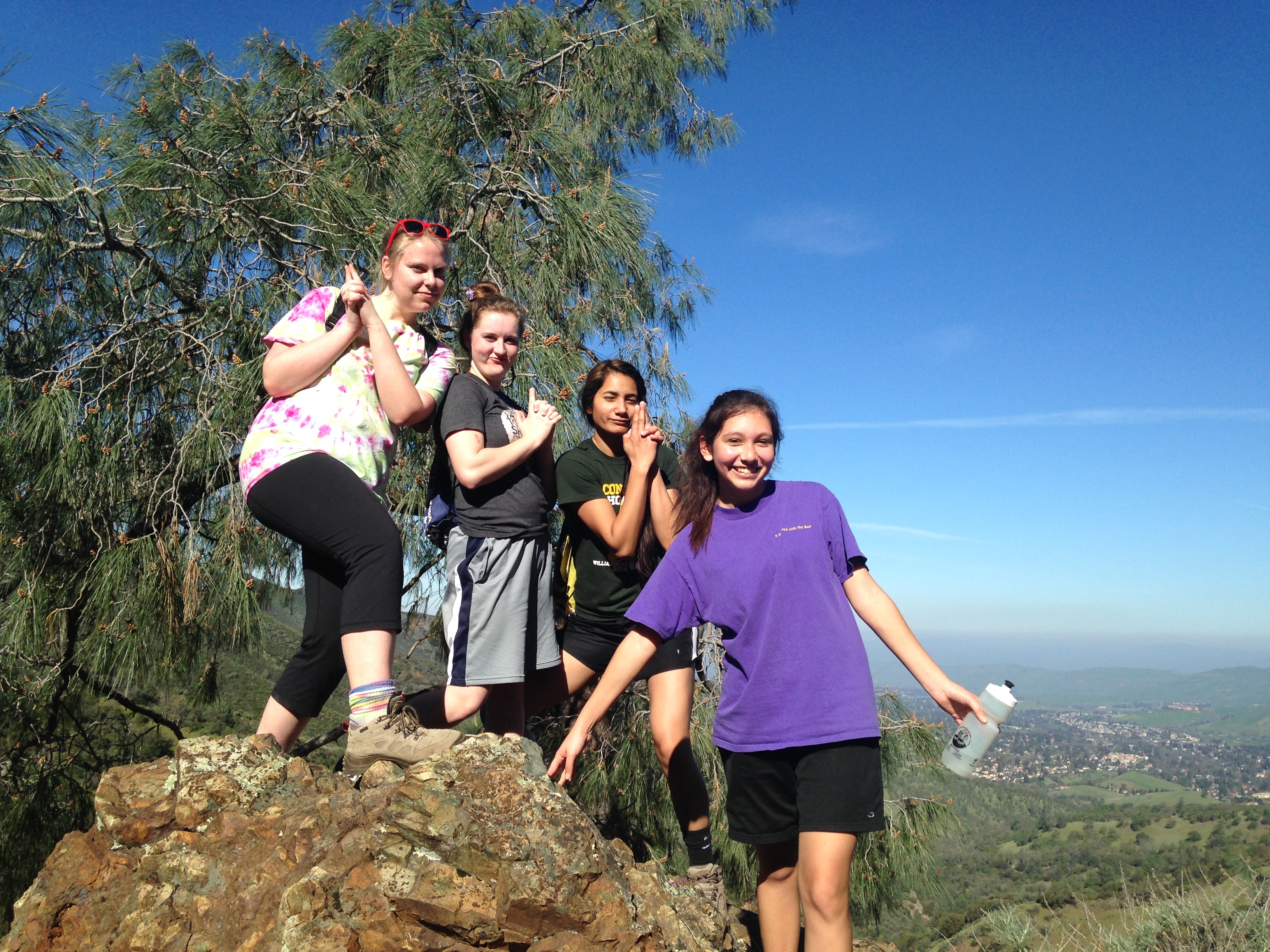
 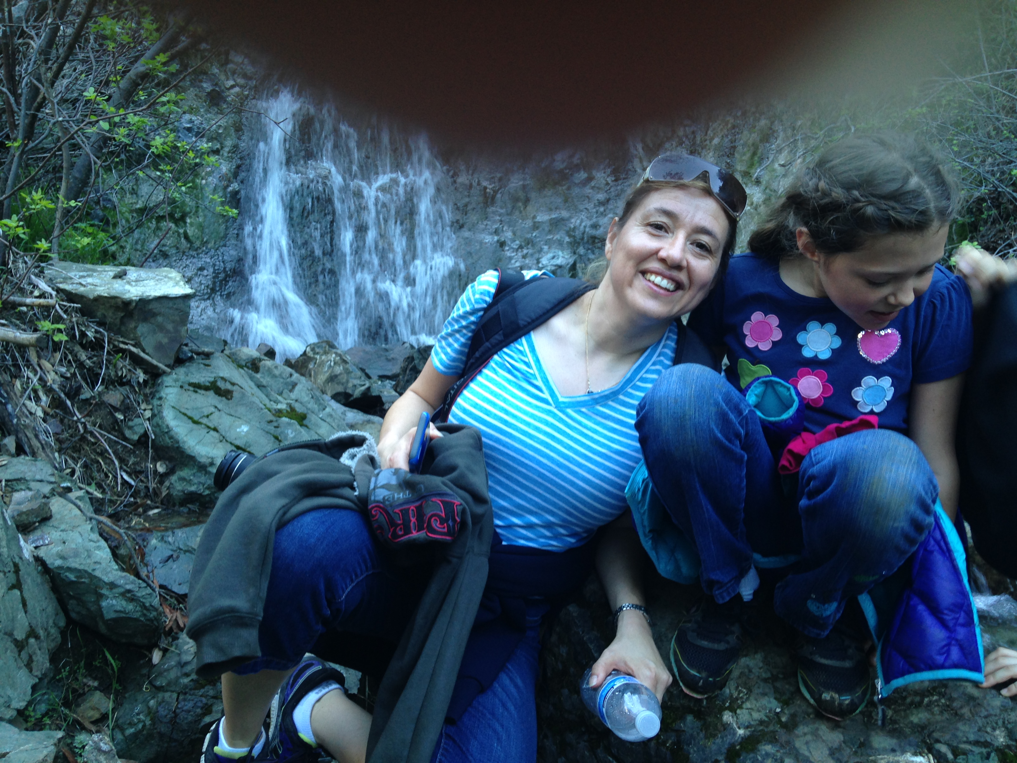 Sorry for the finger in the photo. You are now on what I consider to be the most beautiful part of the hike. The trail will take you to a great look out point. Be sure to stop and take some pictures.
 After the look out point there is a steep downhill slide that ends at another creek crossing.
 Enjoy this trail on the way down. You will be following the creek so there are lots of small falls to see and hear. The trail will end and you want to go right on Donner Canyon Road.
 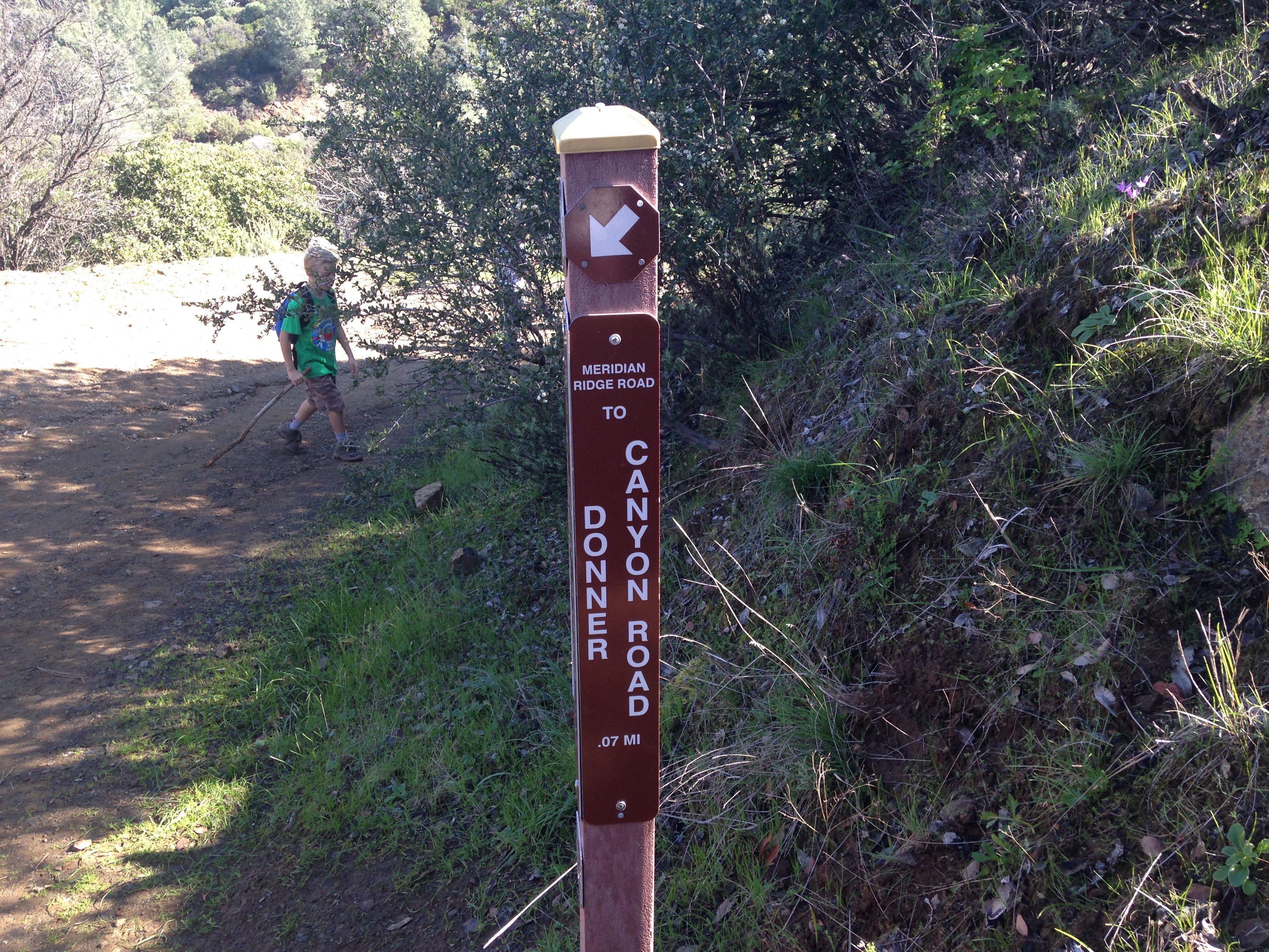 You will then take a left back on Cardinet Oaks Road. The same one you came in on.
We had people of all ages on this hike. The youngest one was 7. (not including the baby in the carrier) They all made it with no problem. The hike was about 6 miles and took approx. 3hrs. The best time to do this trail is after there has been rain. The draw back is you don’t want to go when it is still really muddy. It was such a fun day! Let me know if you’ve done this hike before and what your thoughts are.

Used your blog to hike this the other day. Found it easily! Thanks so much!
LikeLike