I wish I had more time to explore and enjoy the beauties of the mountains. It always seems like I don’t have enough time. I recently discovered that in one day I can drive to the Sierras, hike and explore three different lakes and make it home around dinner time.
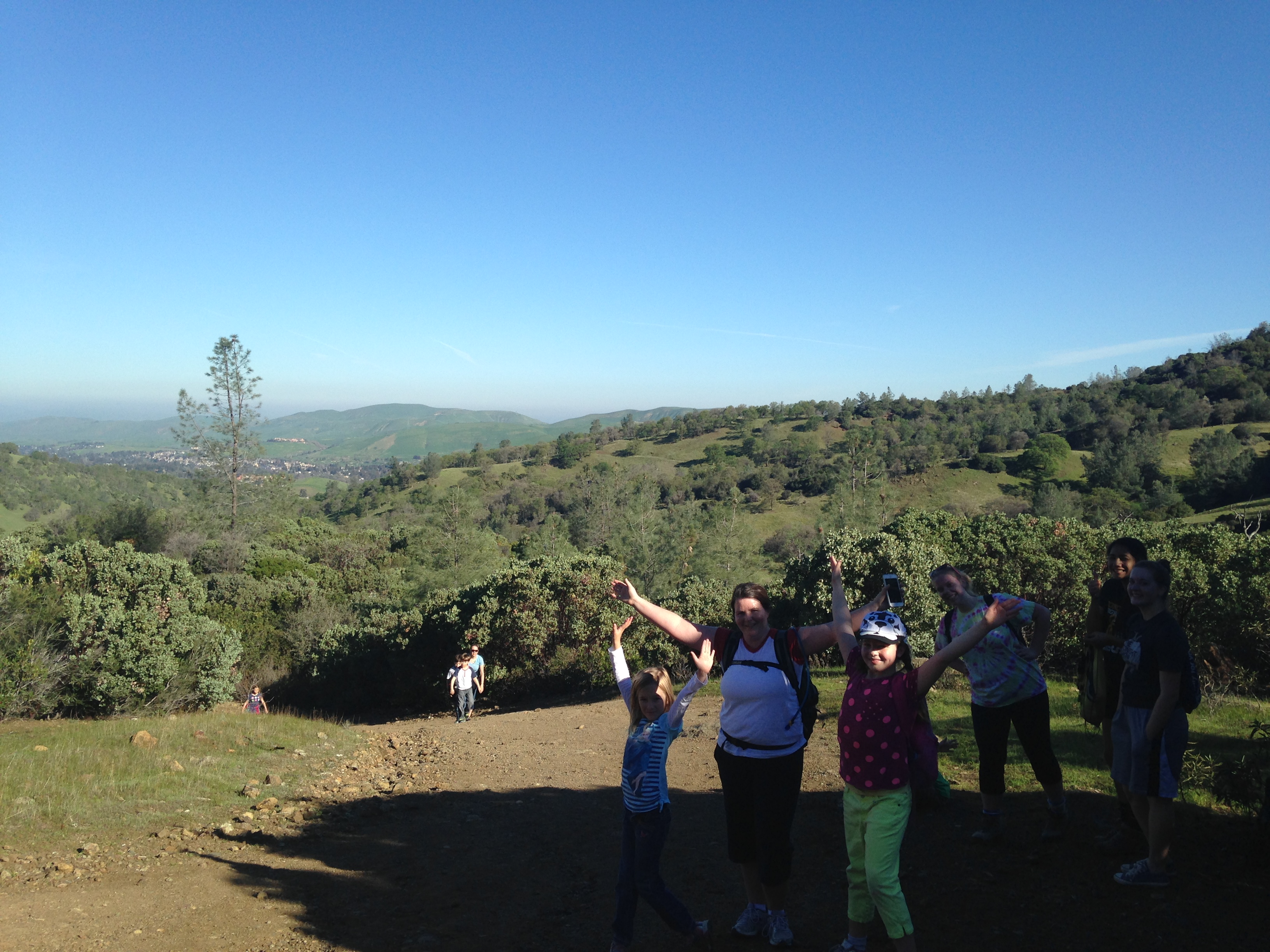
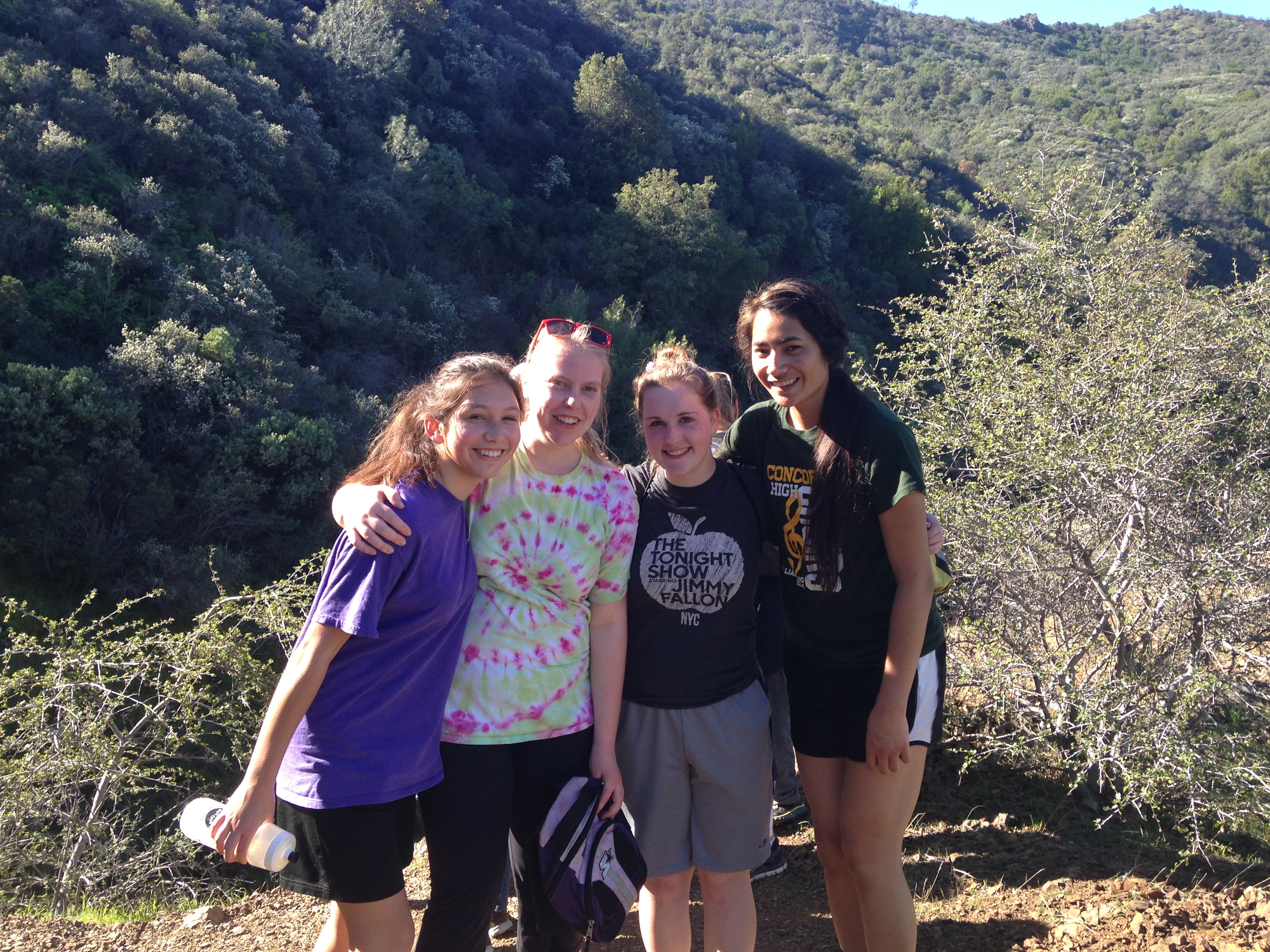
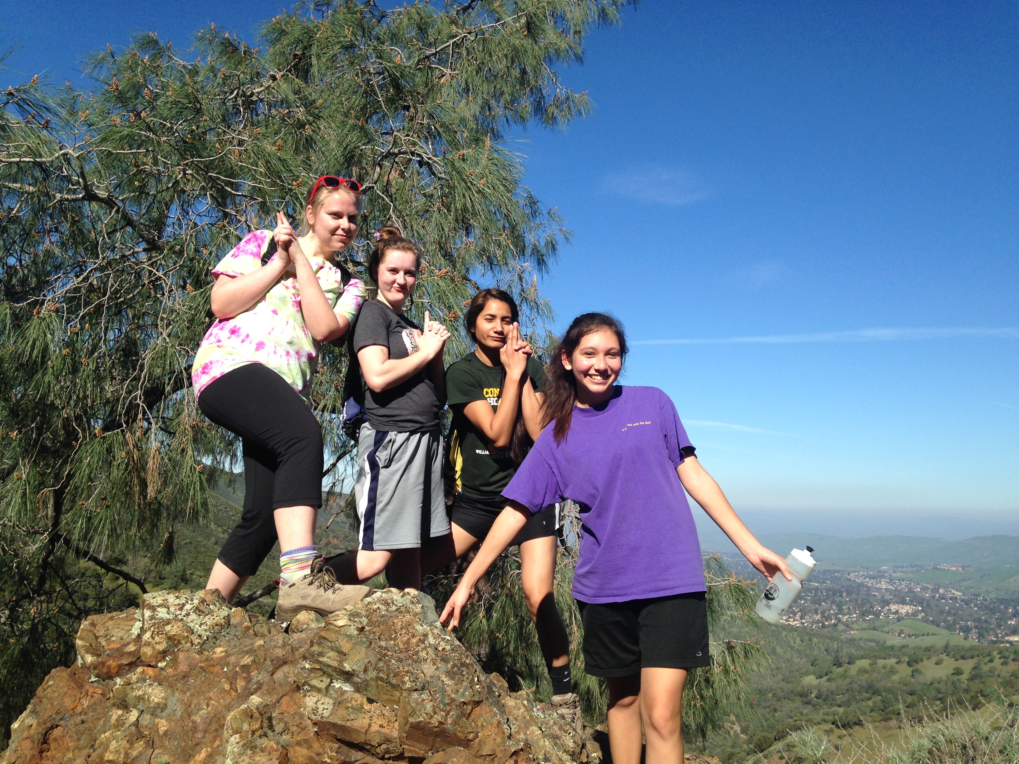
I have the privilege of being in charge of approximately 100 girls and 40 adults at our church girls camp. Each summer the girls go to Rucker Lake and spend the week backpacking, swimming, singing and spiritually growing. The girls are grouped according to their age and then put into levels. This year I decided it was time to find a new hike for our 1st year girls. The level leader and I chose a Saturday and headed up to the camp. We left around 7am and drove to Rucker Lake. It already rained that morning and was still pretty cloudy when we arrived. It was very wet. I had studied lots of maps of the area. Most of the established hiking trails are already used by the other levels and I wanted something different. I came up with a tentative plan. I plotted a few way-points on my GPS. The plan included hiking to Fuller Lake and then on to Spaulding Lake. This area has a lot of private properties around the Lakes. We needed to find a way to get from Rucker Lake to Fuller Lake without infringing on someones property. There are plenty of signs letting you know when you are trespassing. The original plan was changed right away after talking to man we met at the Lake. We head in the opposite direction around the lake. We had a map, a GPS and our phones with google maps. What could go wrong? Right?
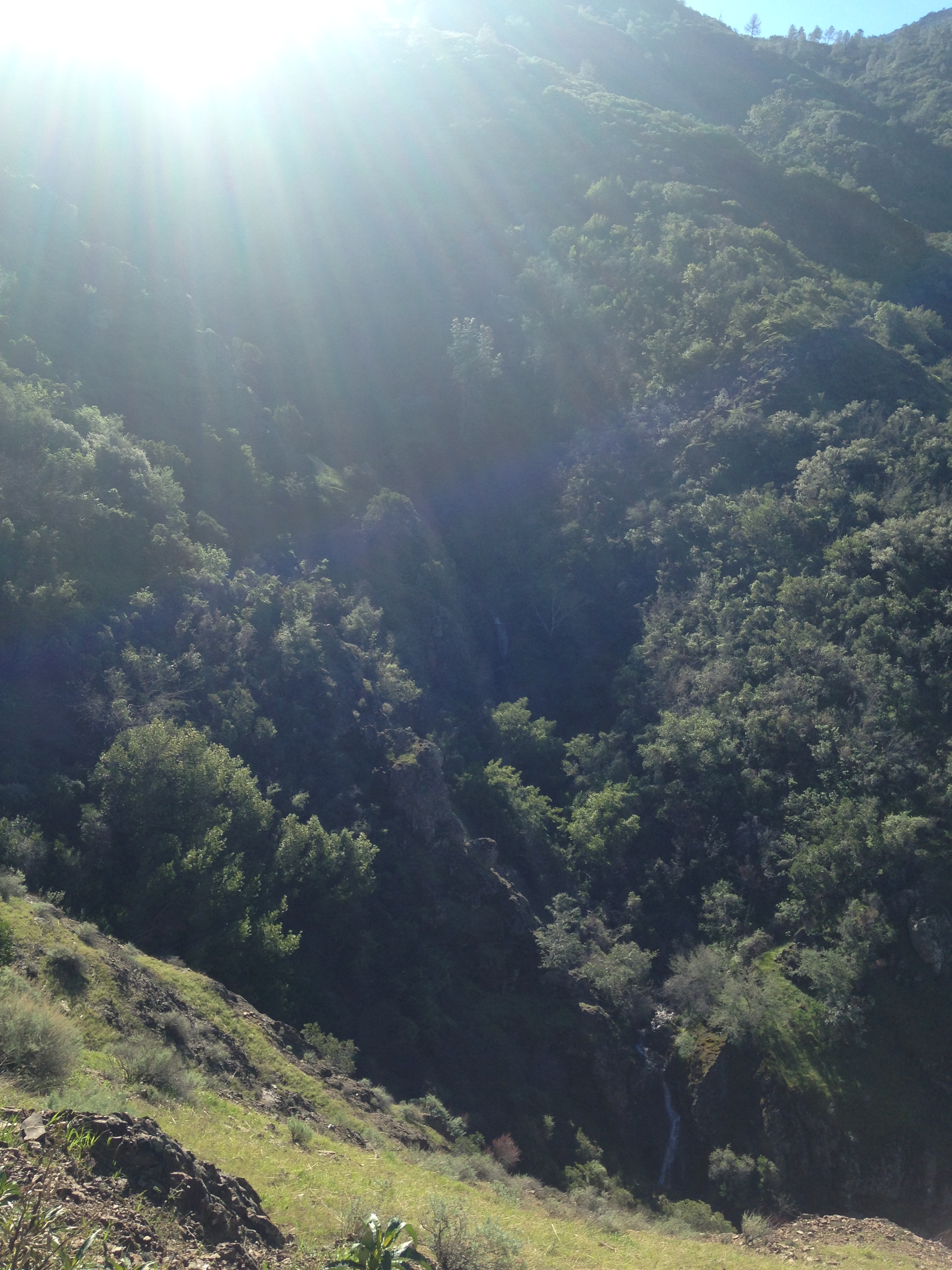
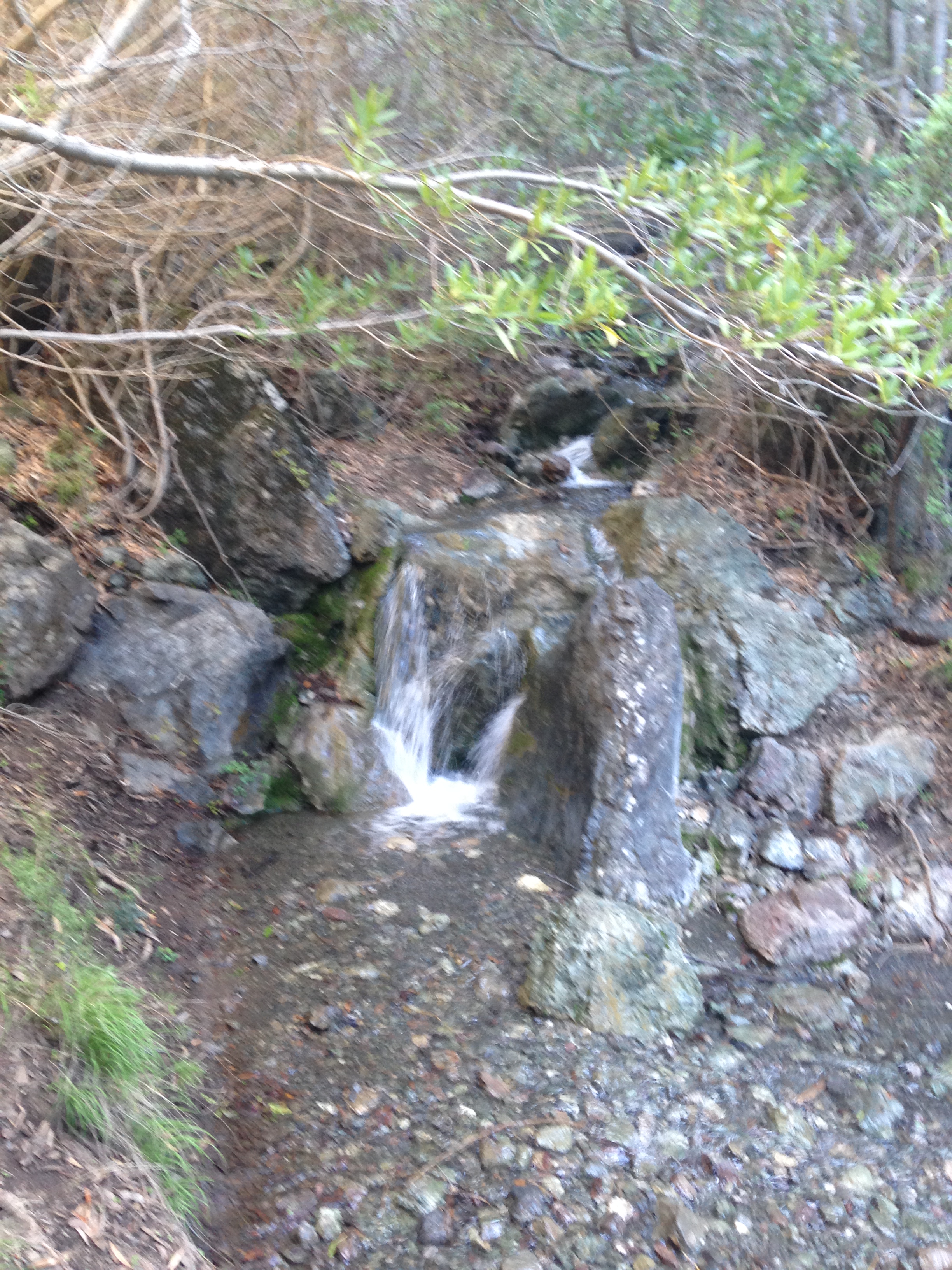
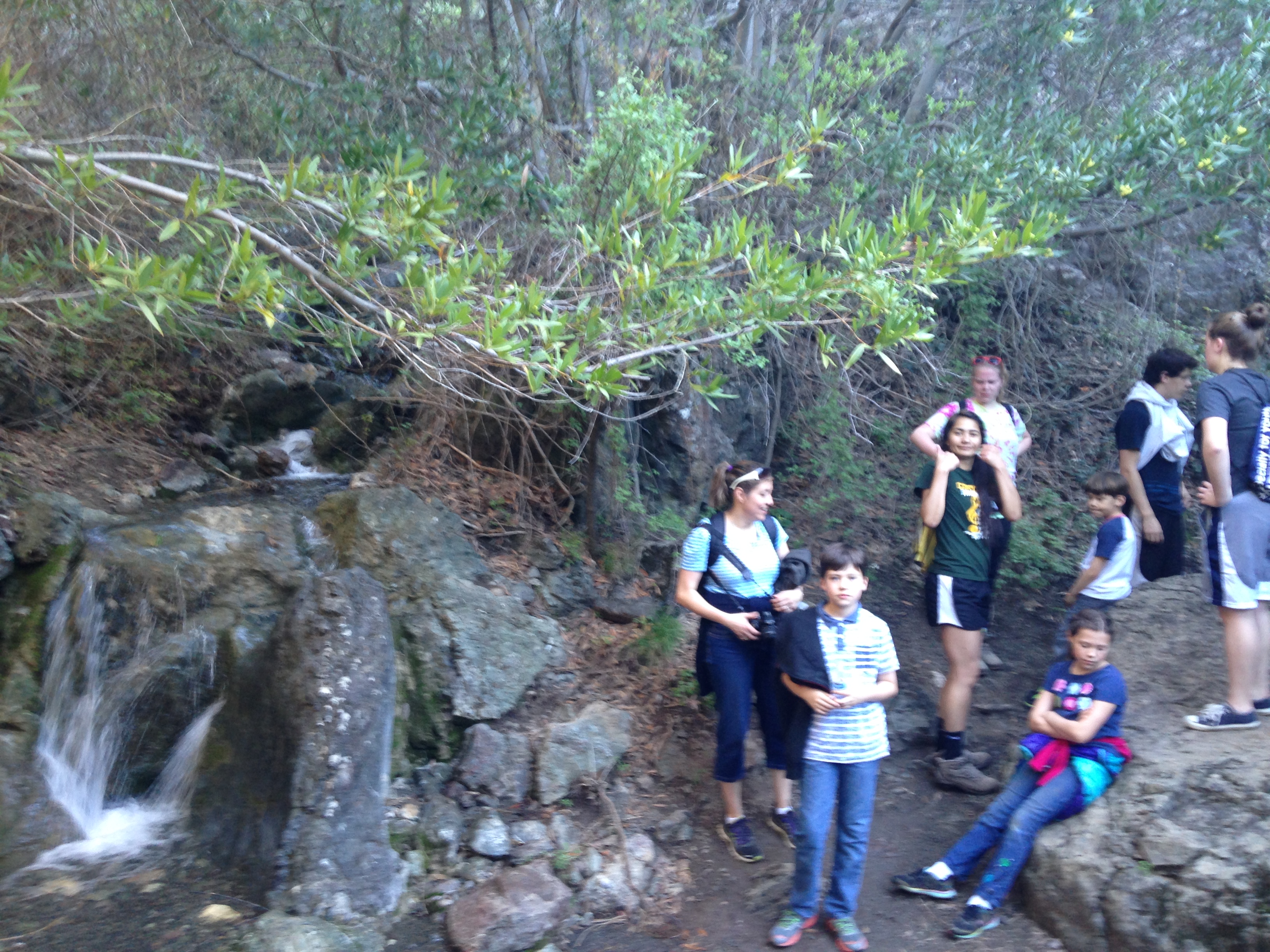
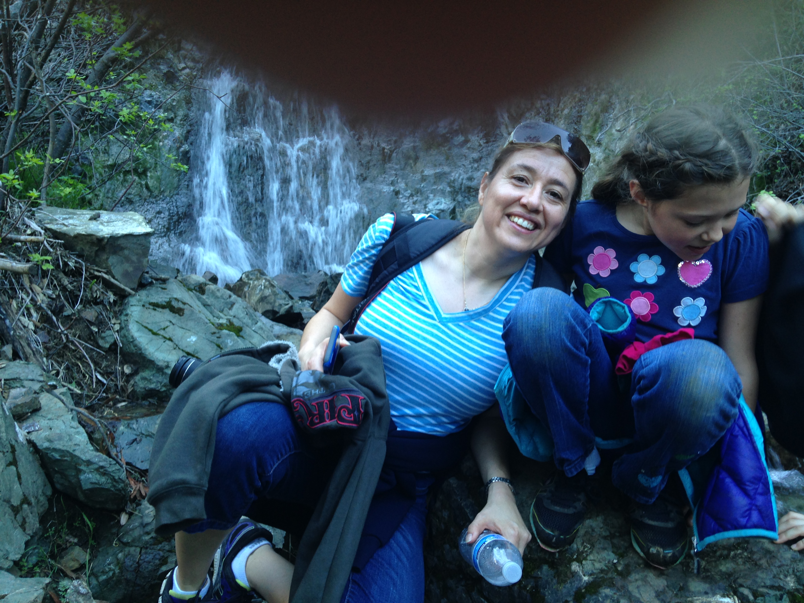
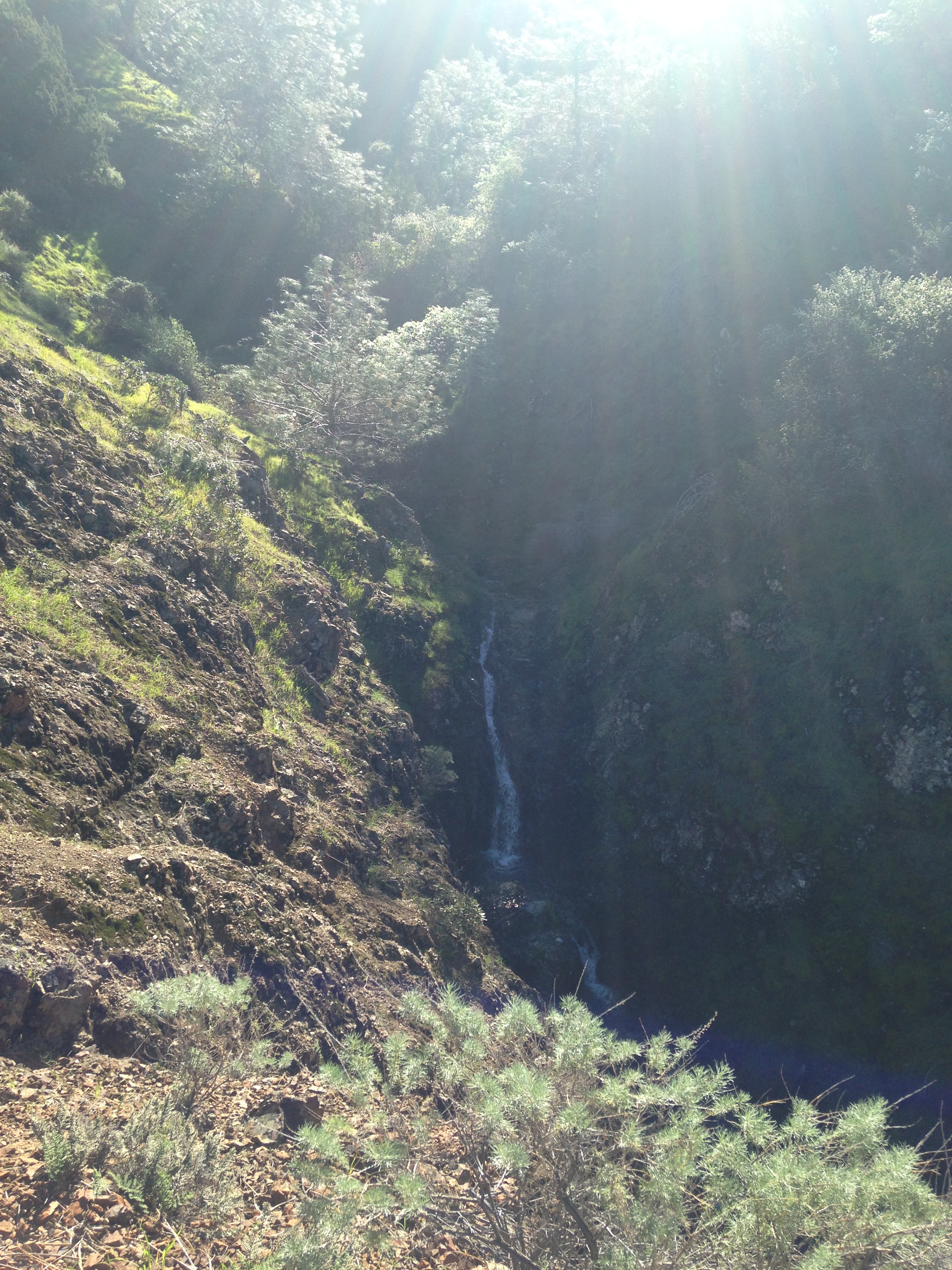
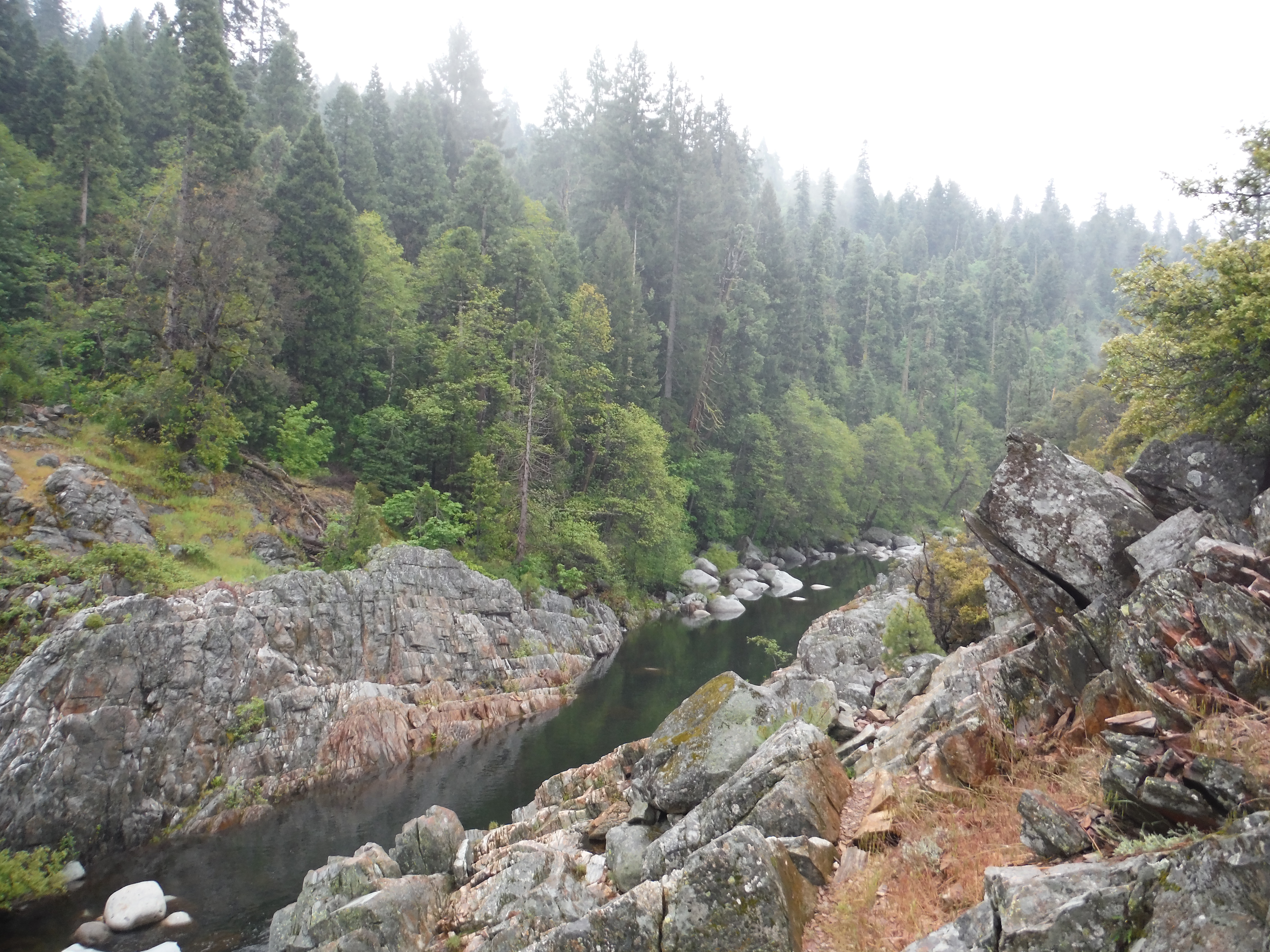
 We wanted to follow as close to the shoreline as we could but it was too wet. Without a trail we were climbing over fallen trees, streams, and other obstacles. We eventually made it to Fuller Lake. It was not that long of a hike and we found a nice trail around it. We also found a trail that started taking us in the right direction of Spaulding Lake. This trail quickly vanished and we were once again searching for another trail. While exploring and searching for a trail we came across this stunning view and small pond.
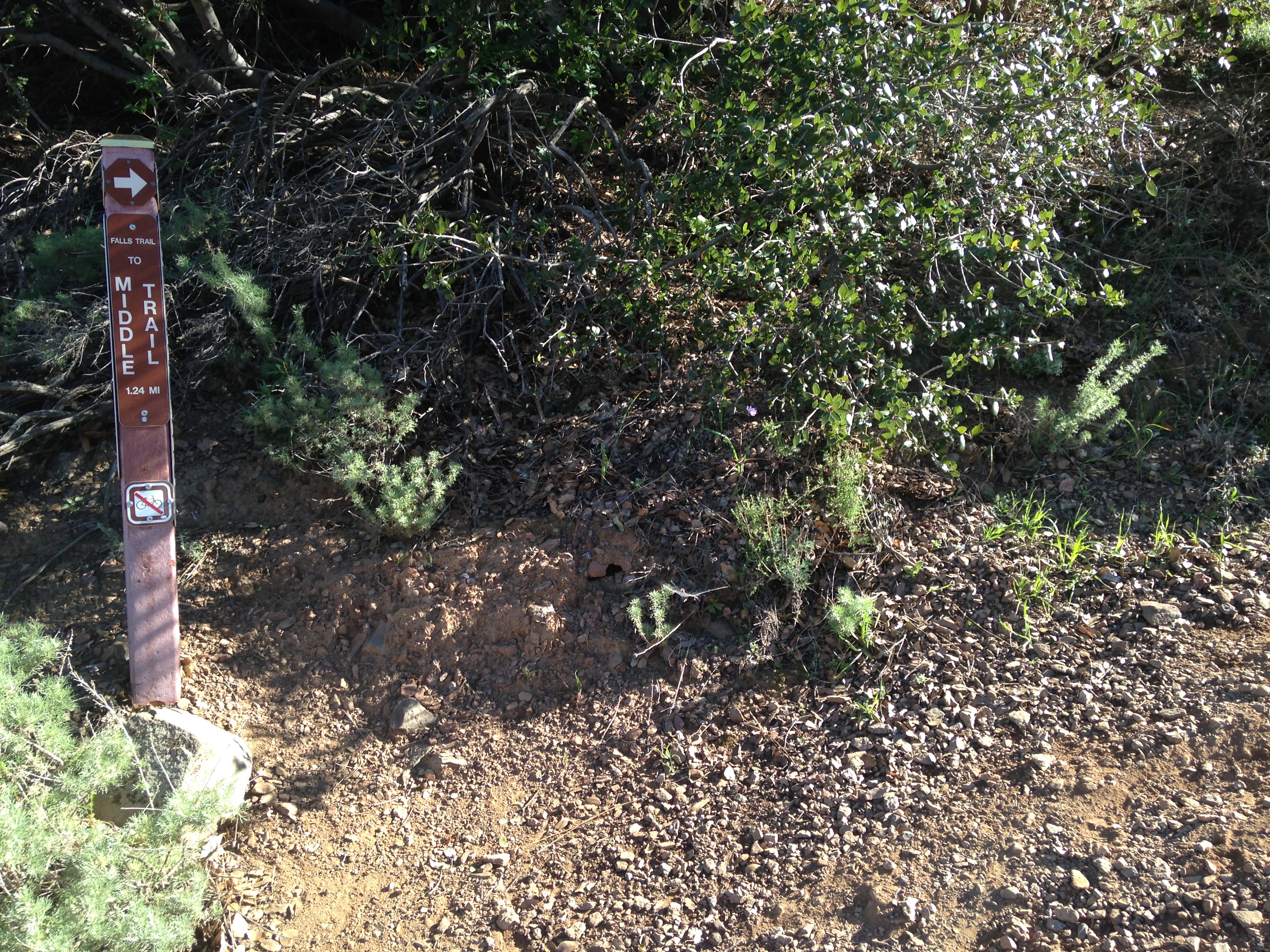
 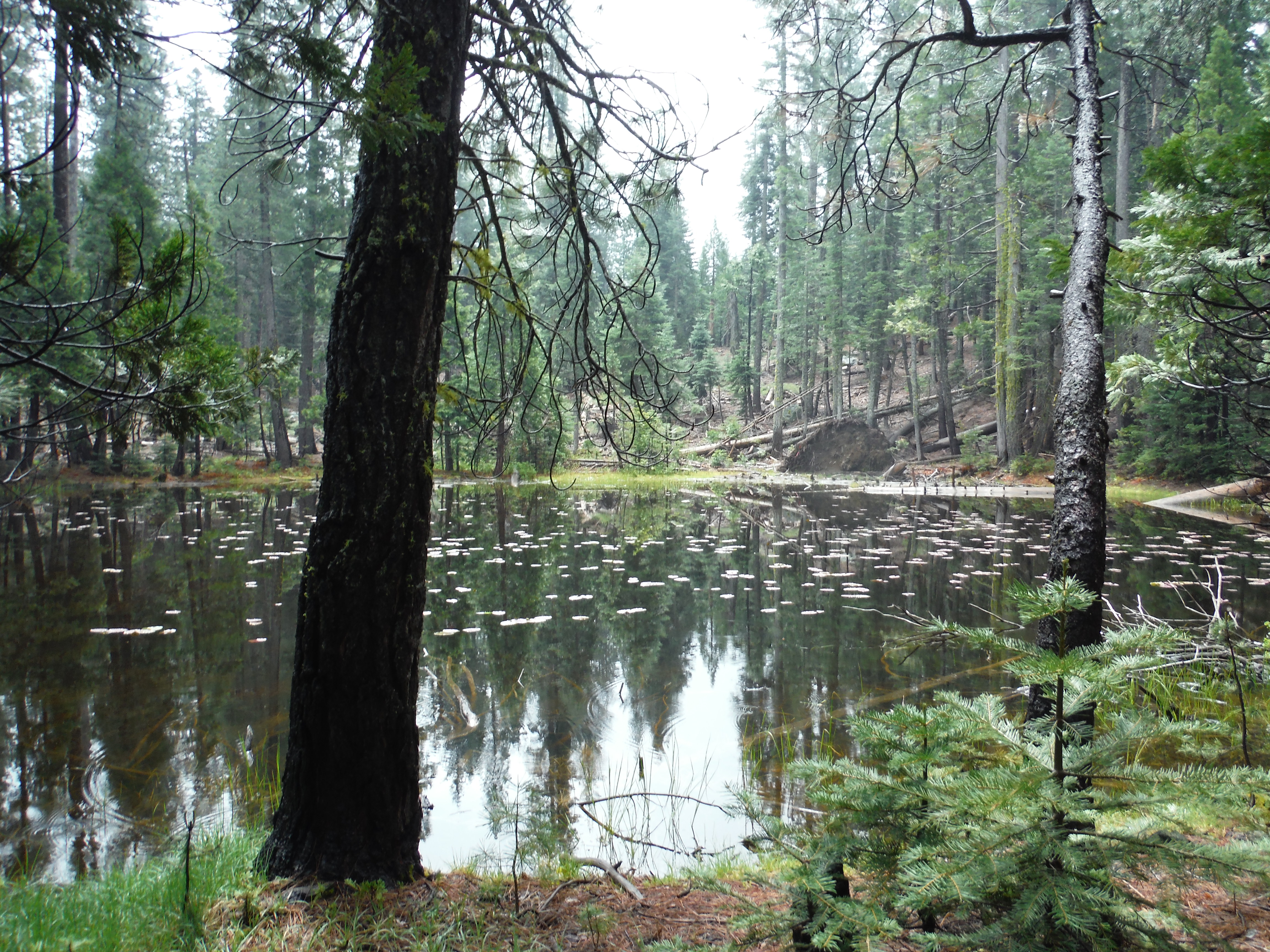 The GPS finally lead us to the trail that we knew would take us to Spaulding Lake. This was an easy, beautiful trail.
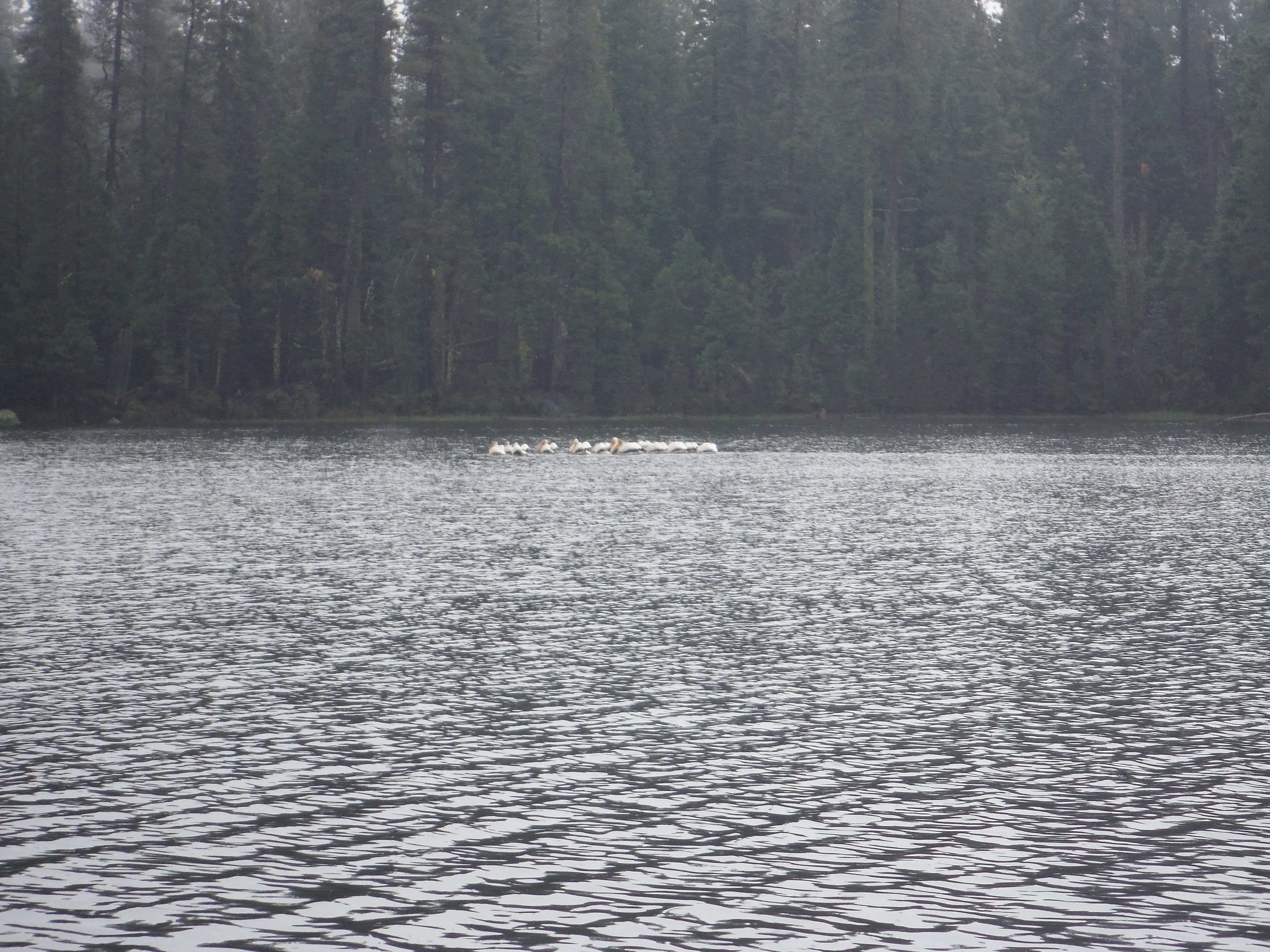
  Once arriving at Spaulding Lake we thought it would be a perfect spot for lunch.
  It would have been but as soon as we sat down and had our food out, the rain began. We decided to head back to the trail and find cover in the trees. It didn’t rain too hard and fortunately we were prepared. We tried to find a different path back to Fuller Lake but ended up turning around and trying to go back the way we came.
 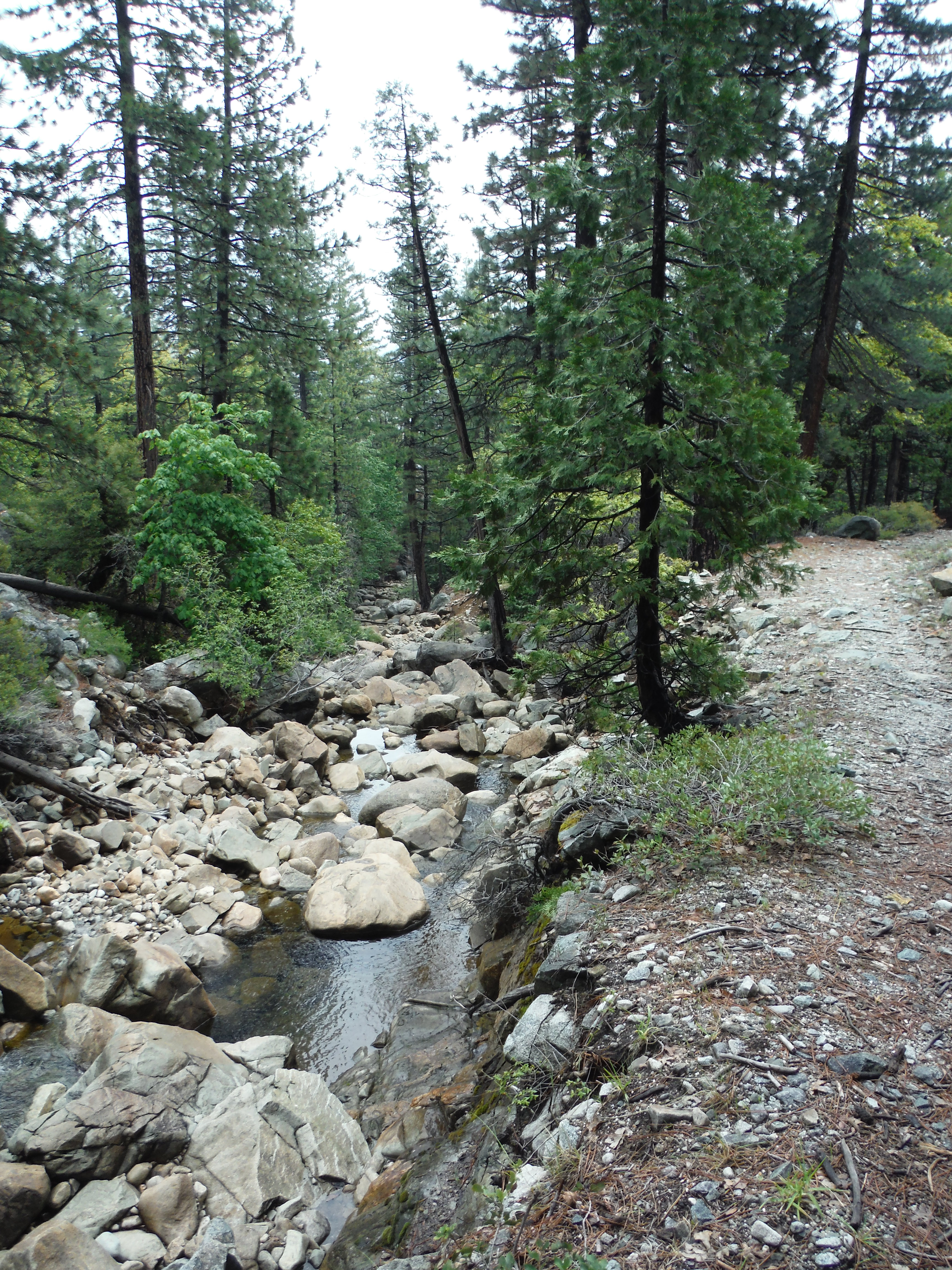 We made it back to Fuller Lake but somehow at this point we got completely turned around and ended up on the opposite side of Rucker Lake. I have to admit that we did have to cross through a private property at one point but only for a brief time. I am so glad I had the GPS. I’m still struggling to learn how to use it but it was still very helpful. We were wet and tired but it was a great adventure. We didn’t find the perfect new hike but it is a beginning. I hope to get back up there soon to try again and this time I hope it will be dry.