Batteries to Bluffs Hike

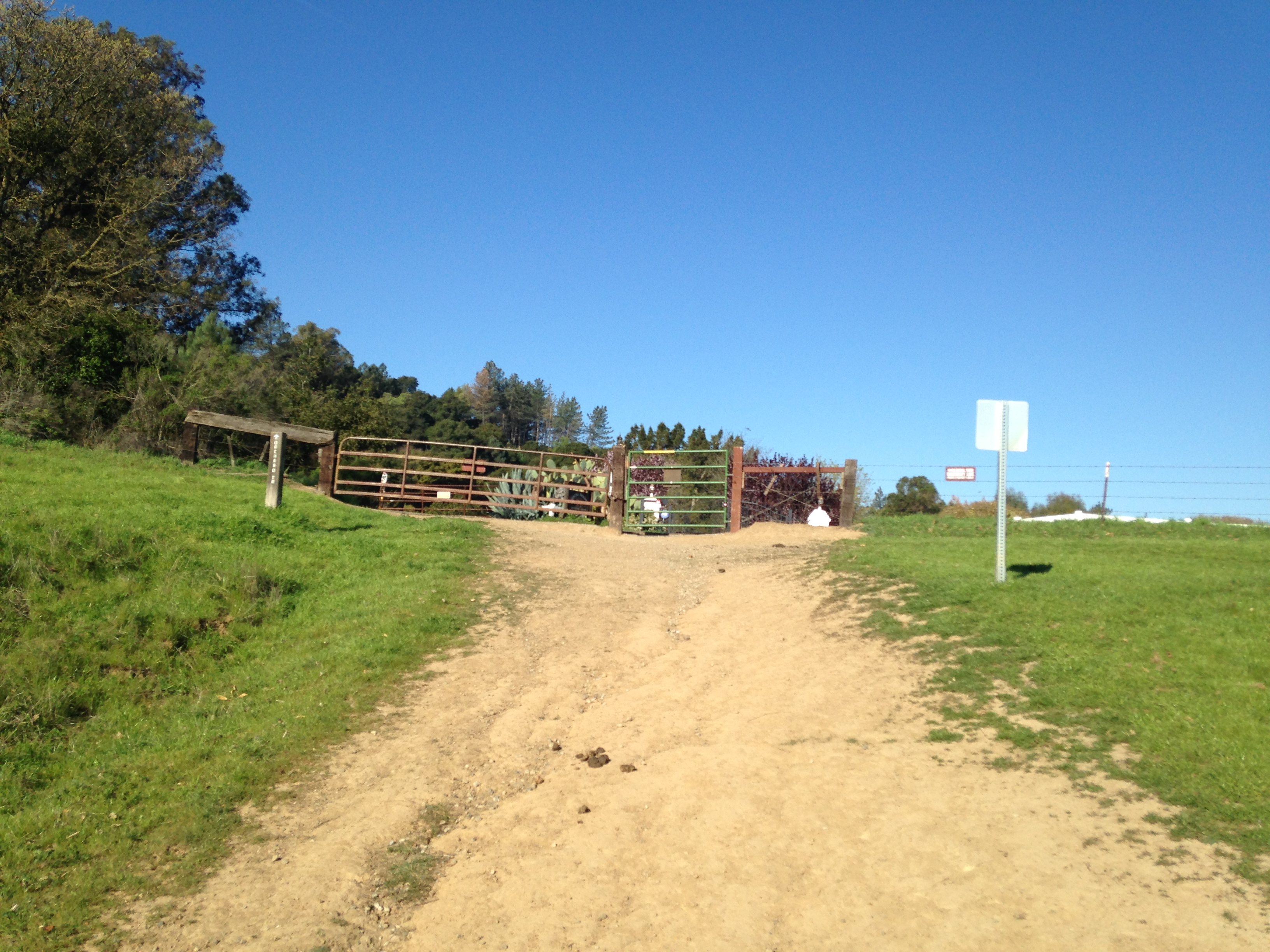
We had such a great, easy hike the other day in San Francisco.   We have lived in the Bay Area for 23 yrs and I am amazed how I keep finding new and beautiful places to explore.  If you want a great view of the Golden Gate Bridge (on a clear day) this is a great place to go.  It is super easy to get to. The hike is only about a mile but it does require climbing up and down stairs.  The other fun part is all of the old Batteries you get to explore. We parked right by one of the old Batteries.  batteries to bluffs 042
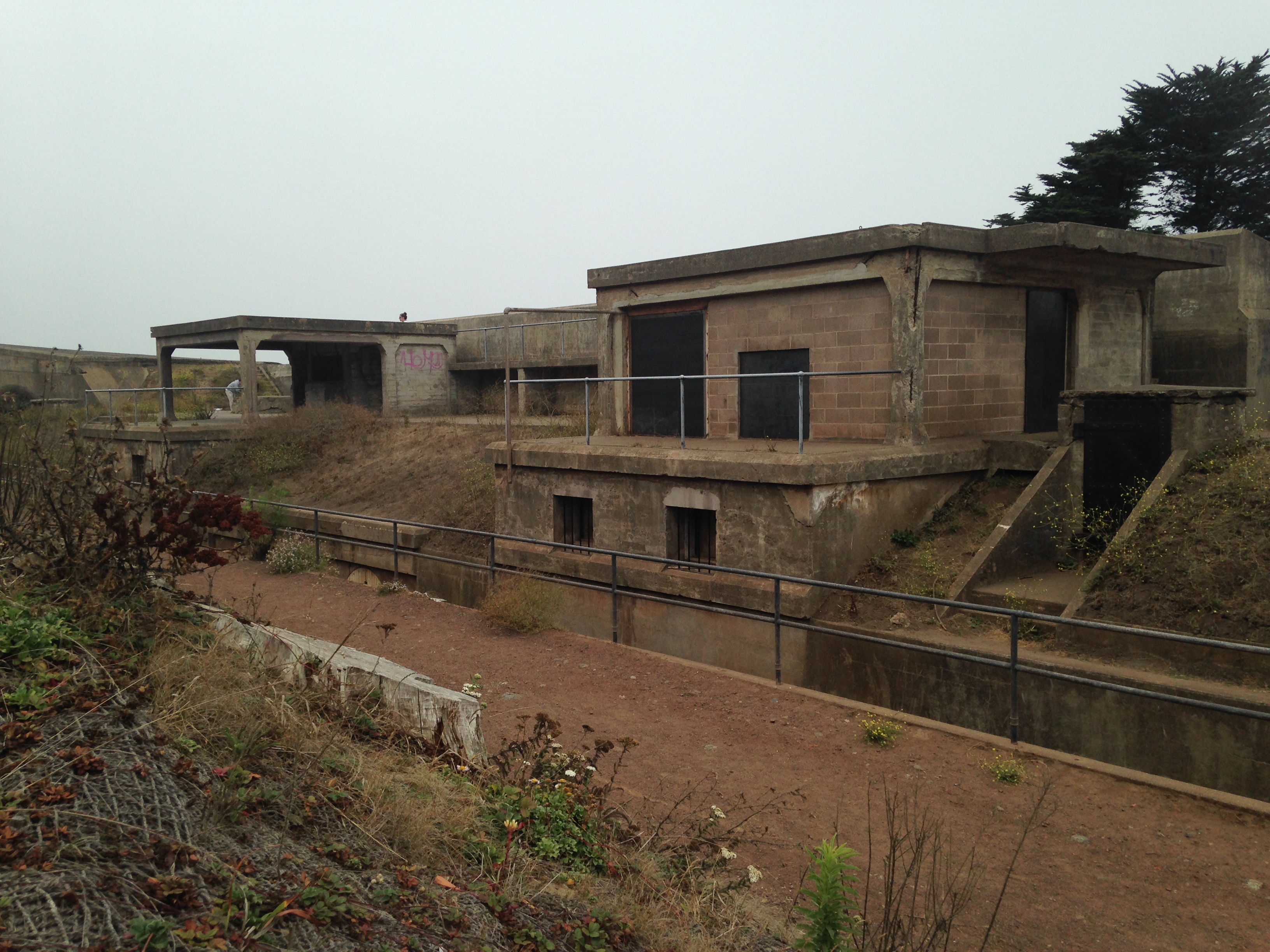
The history of the Batteries can be found here:  http://www.nps.gov/prsf/learn/historyculture/fort-scott-battery-godfrey.htm    You can explore these or you can start your hike.  From the parking lot you want to head to your left.  batteries to bluffs 041
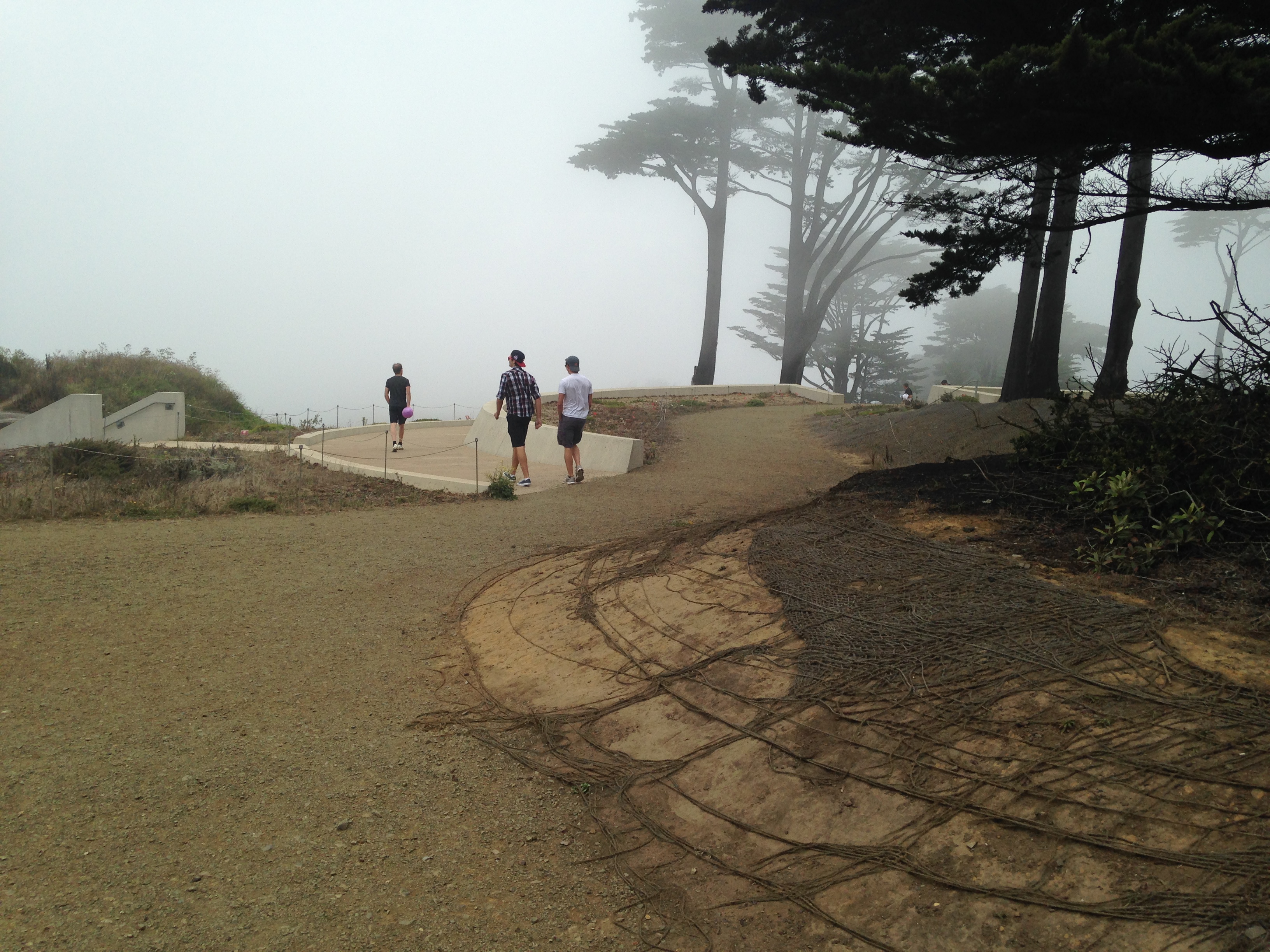
The trail is very well marked and easy to find. You want to follow the trail to Marshall Beach. batteries to bluffs 060 
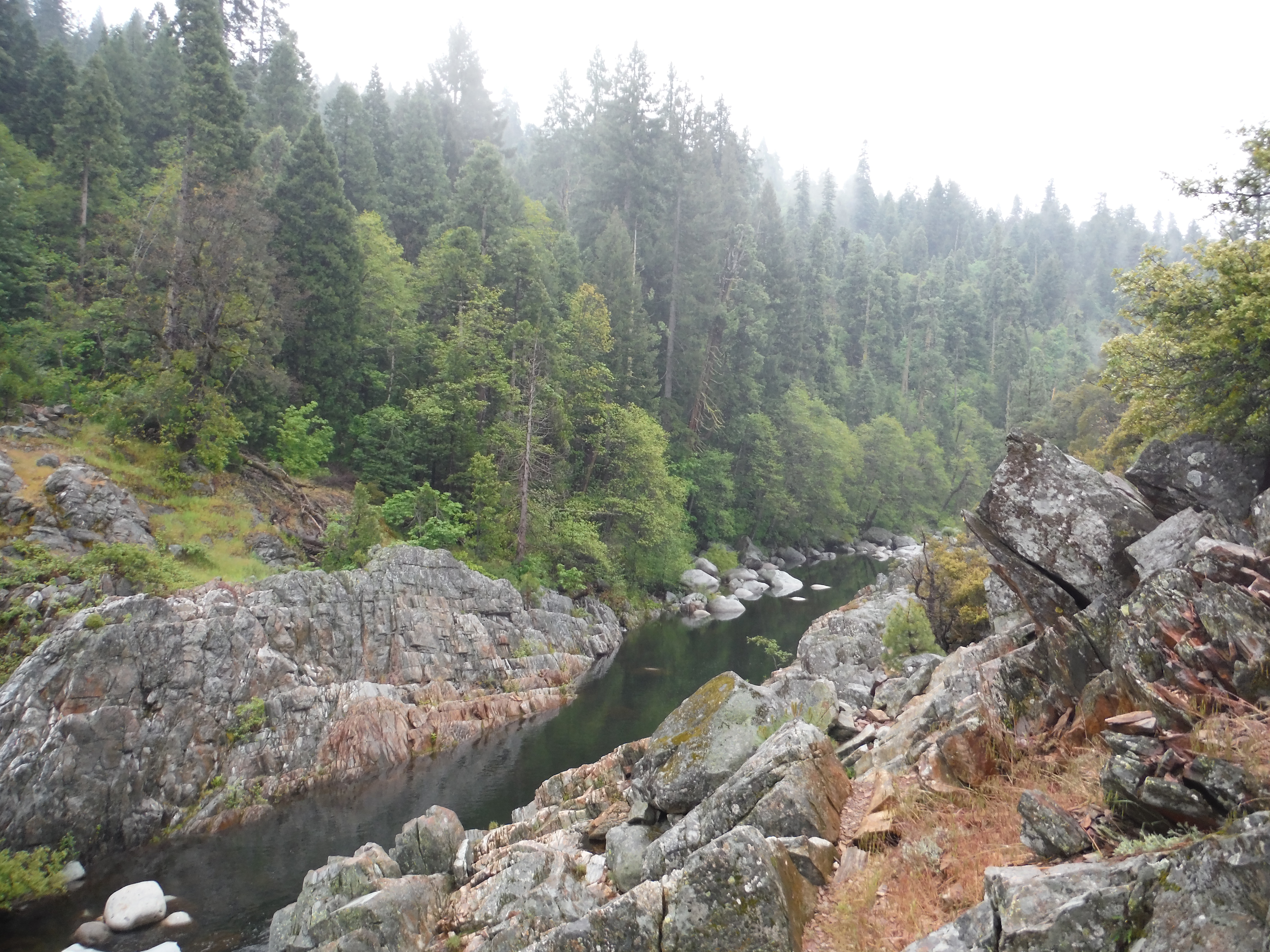
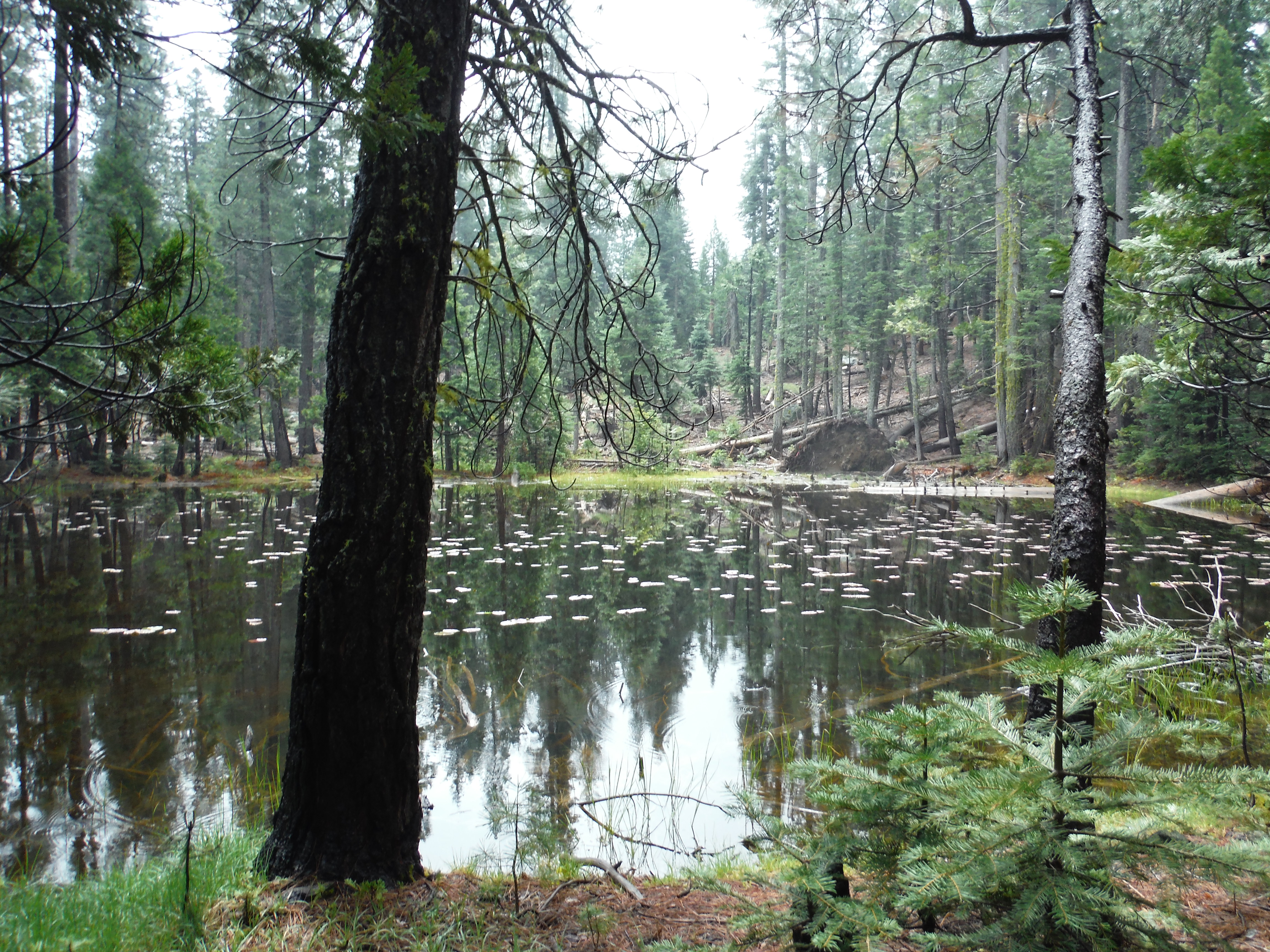
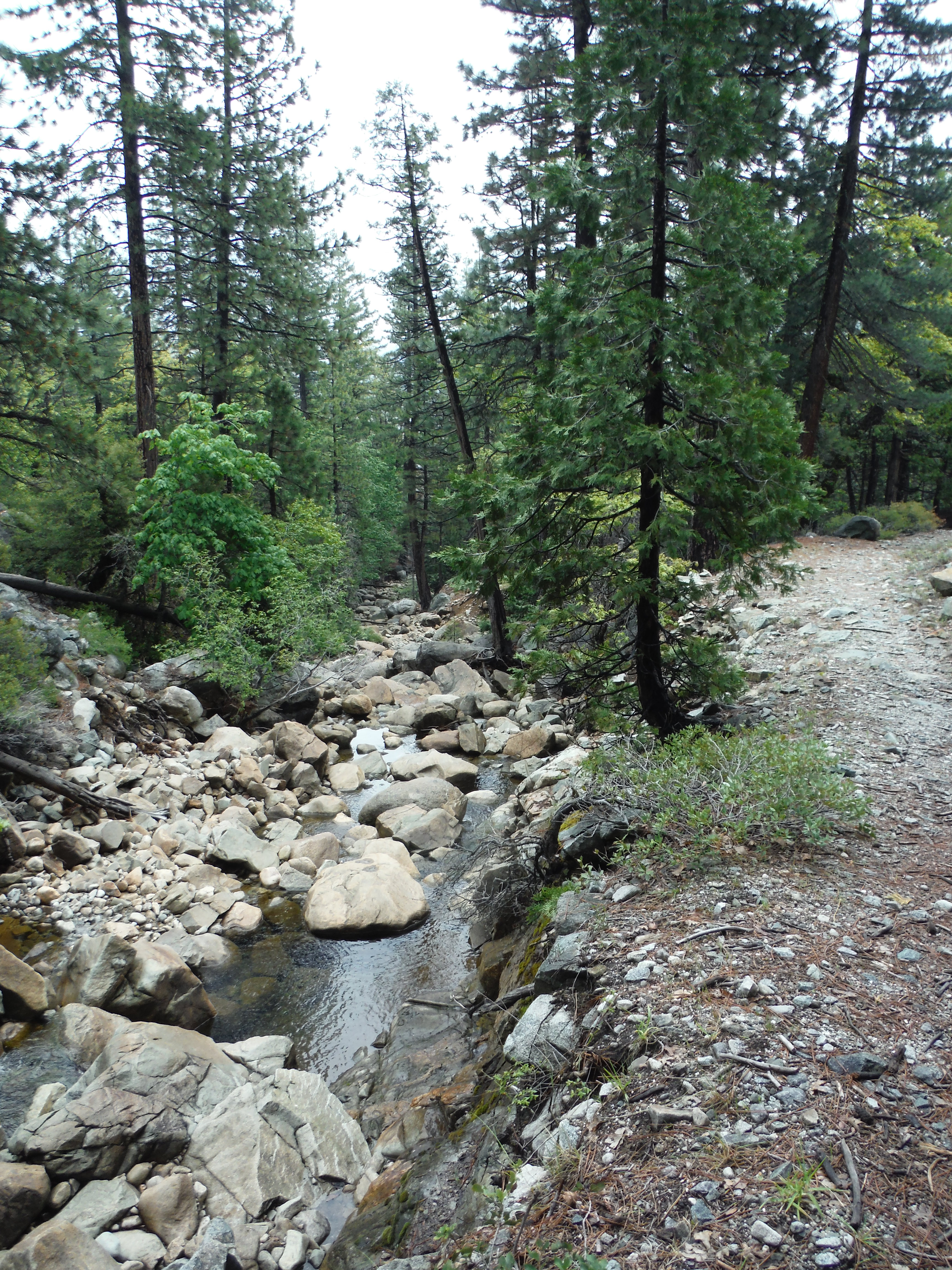
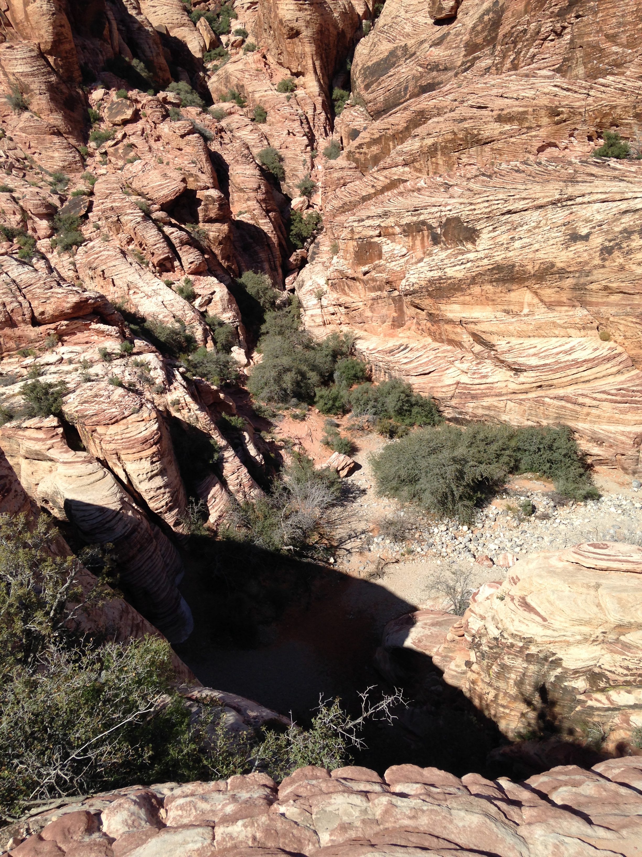
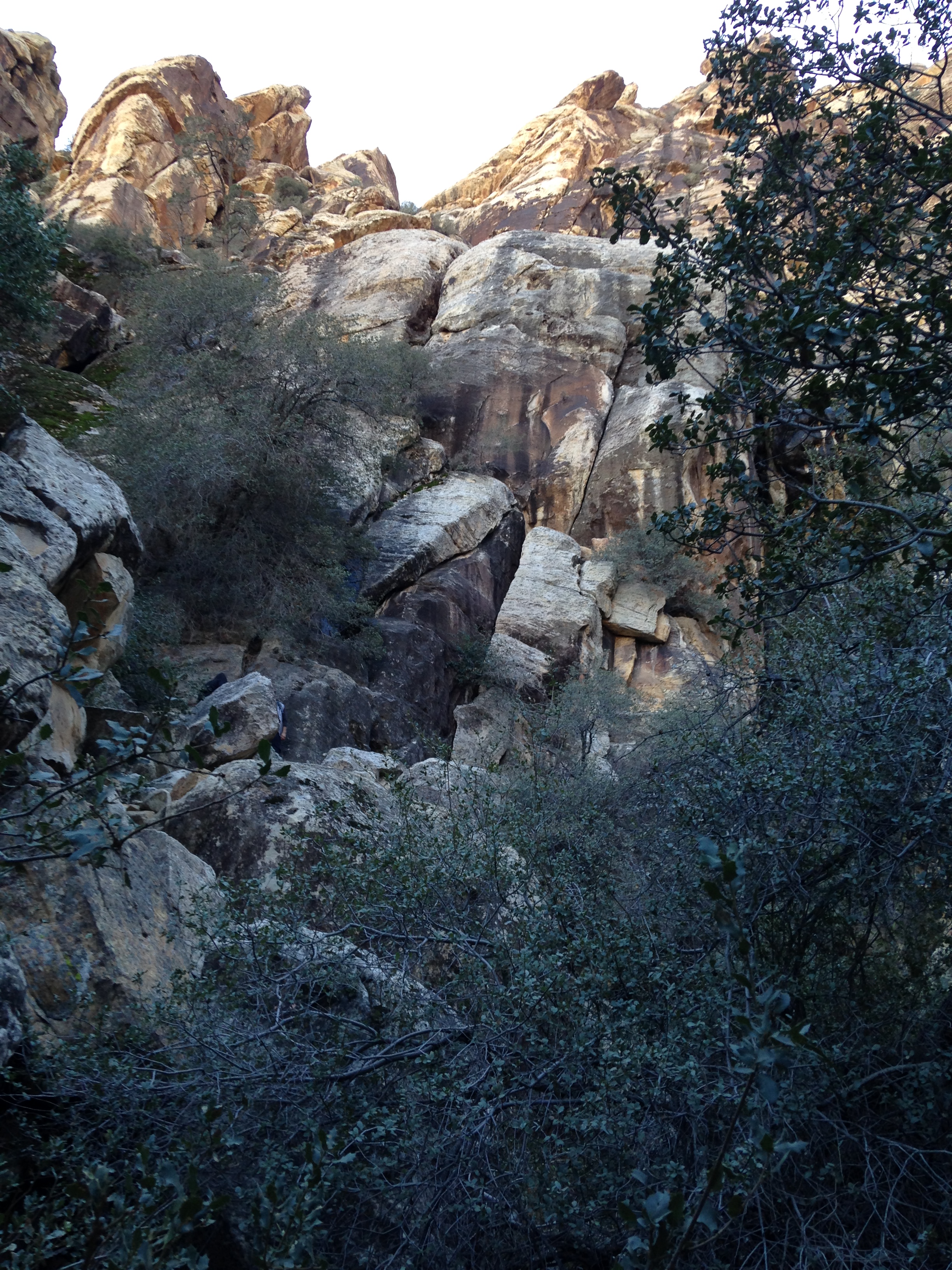
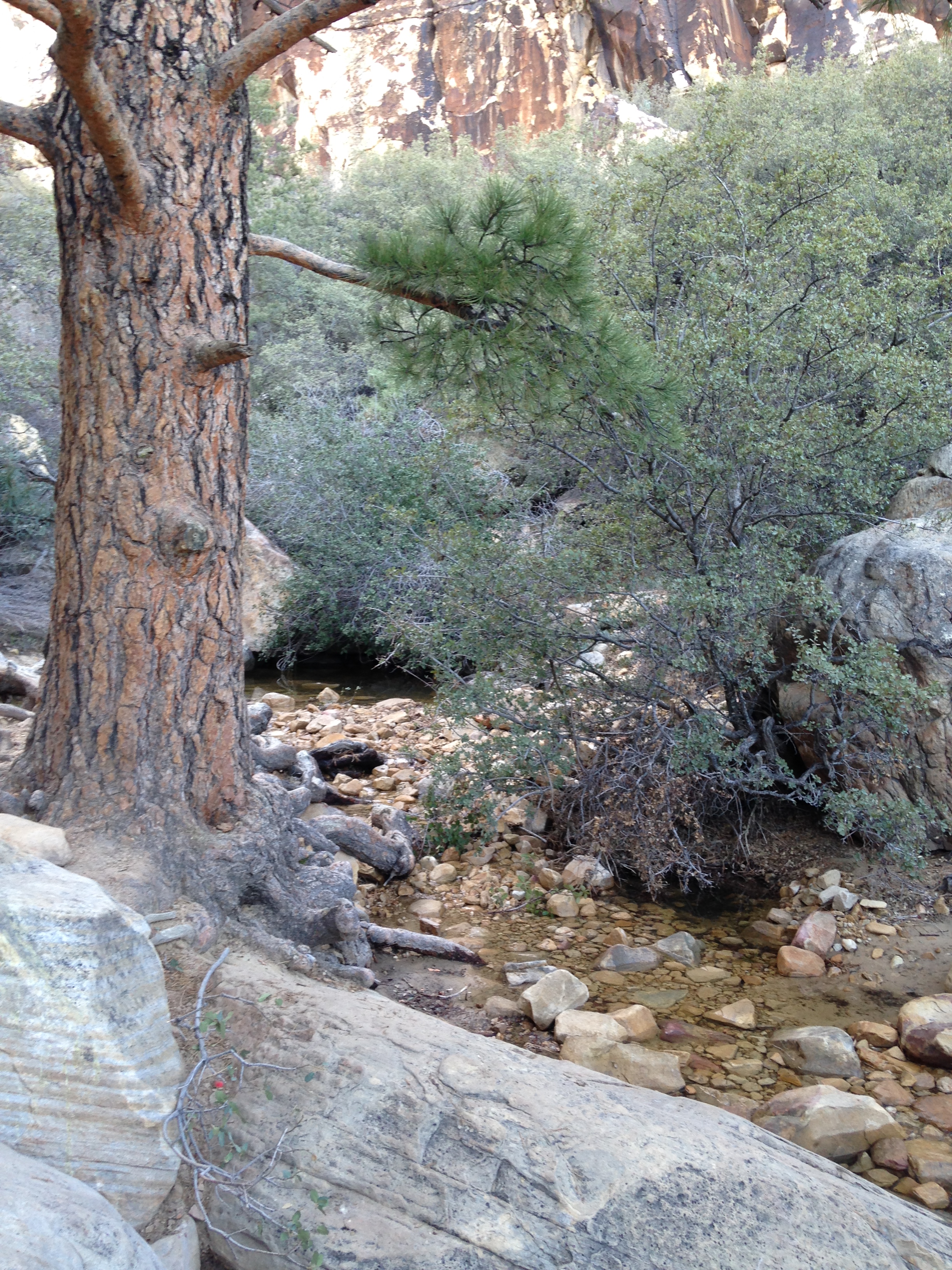
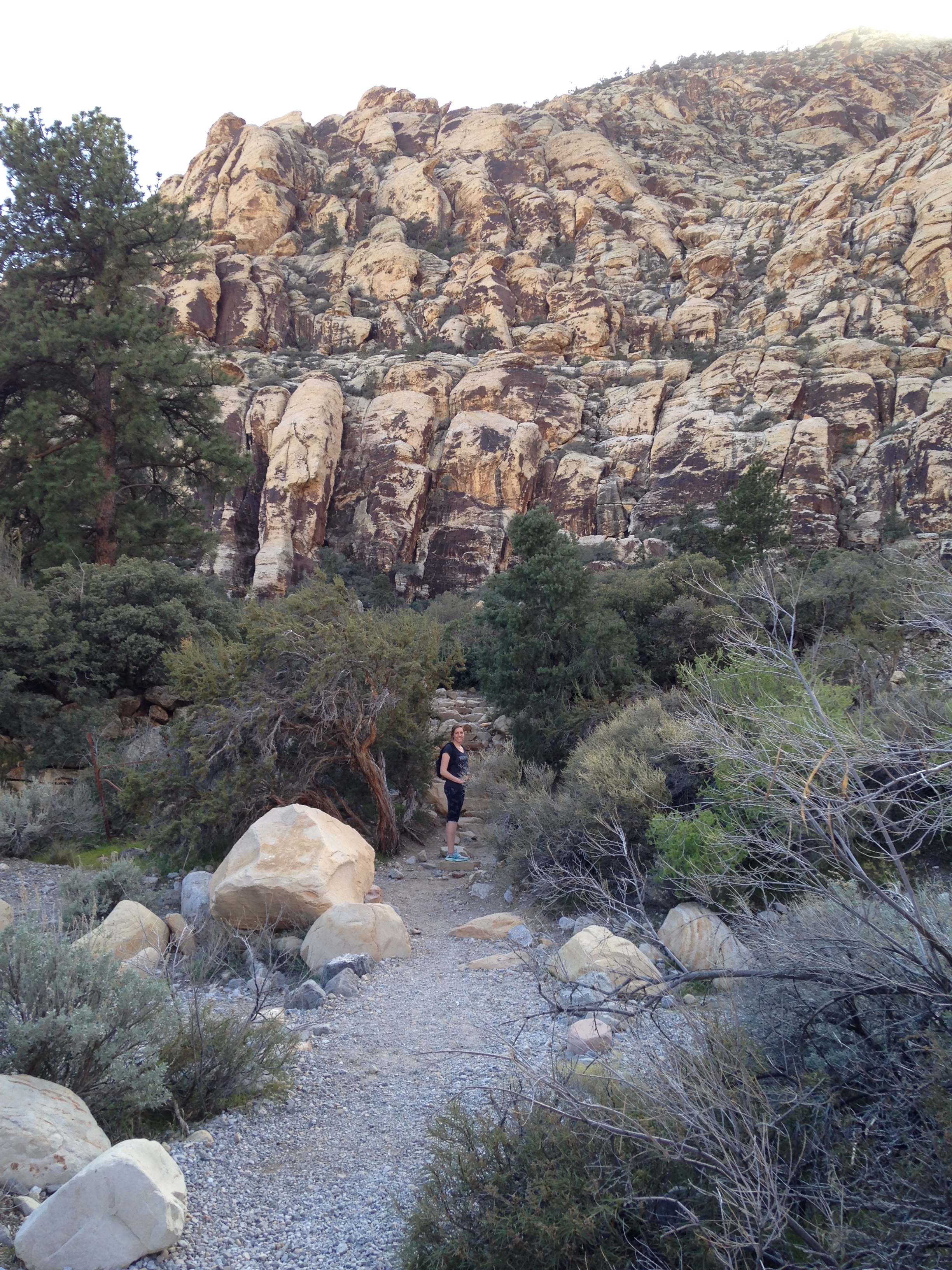
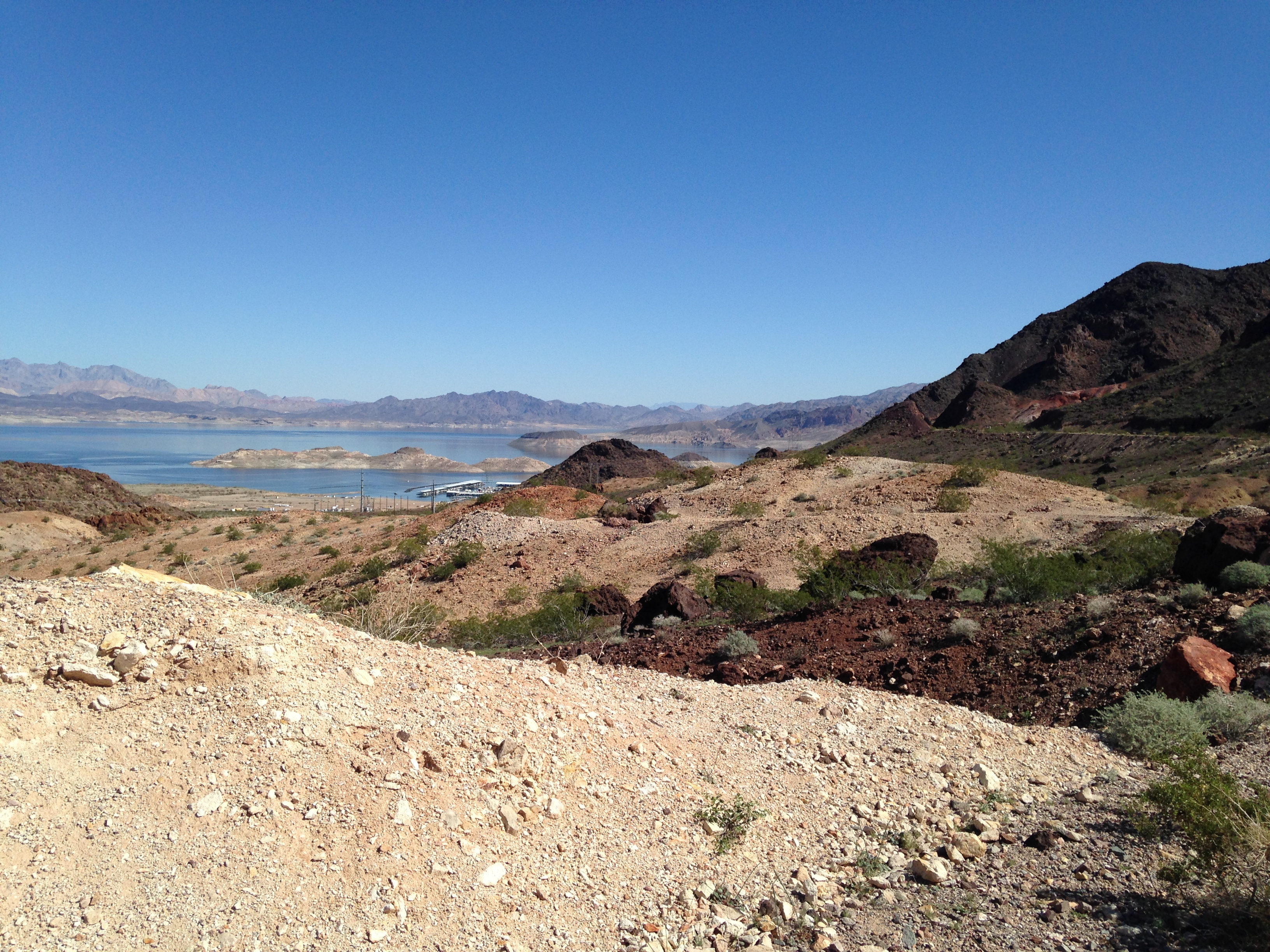
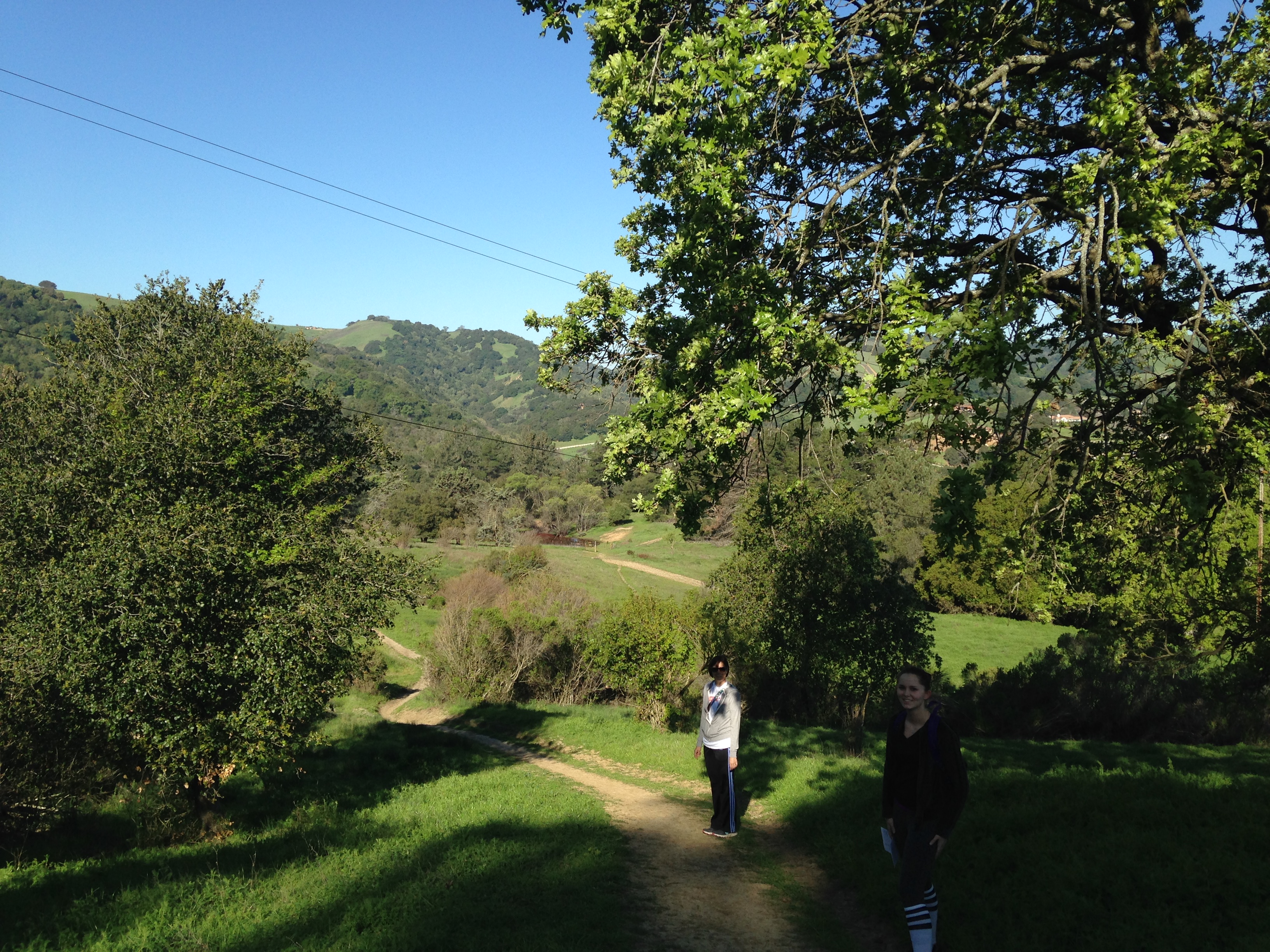
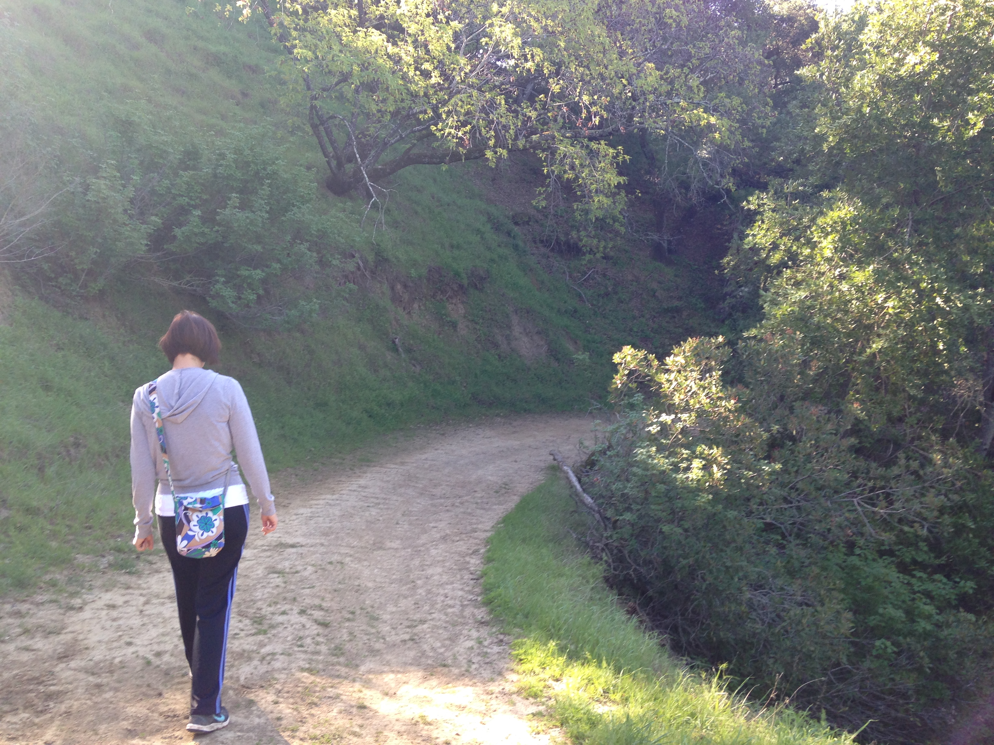
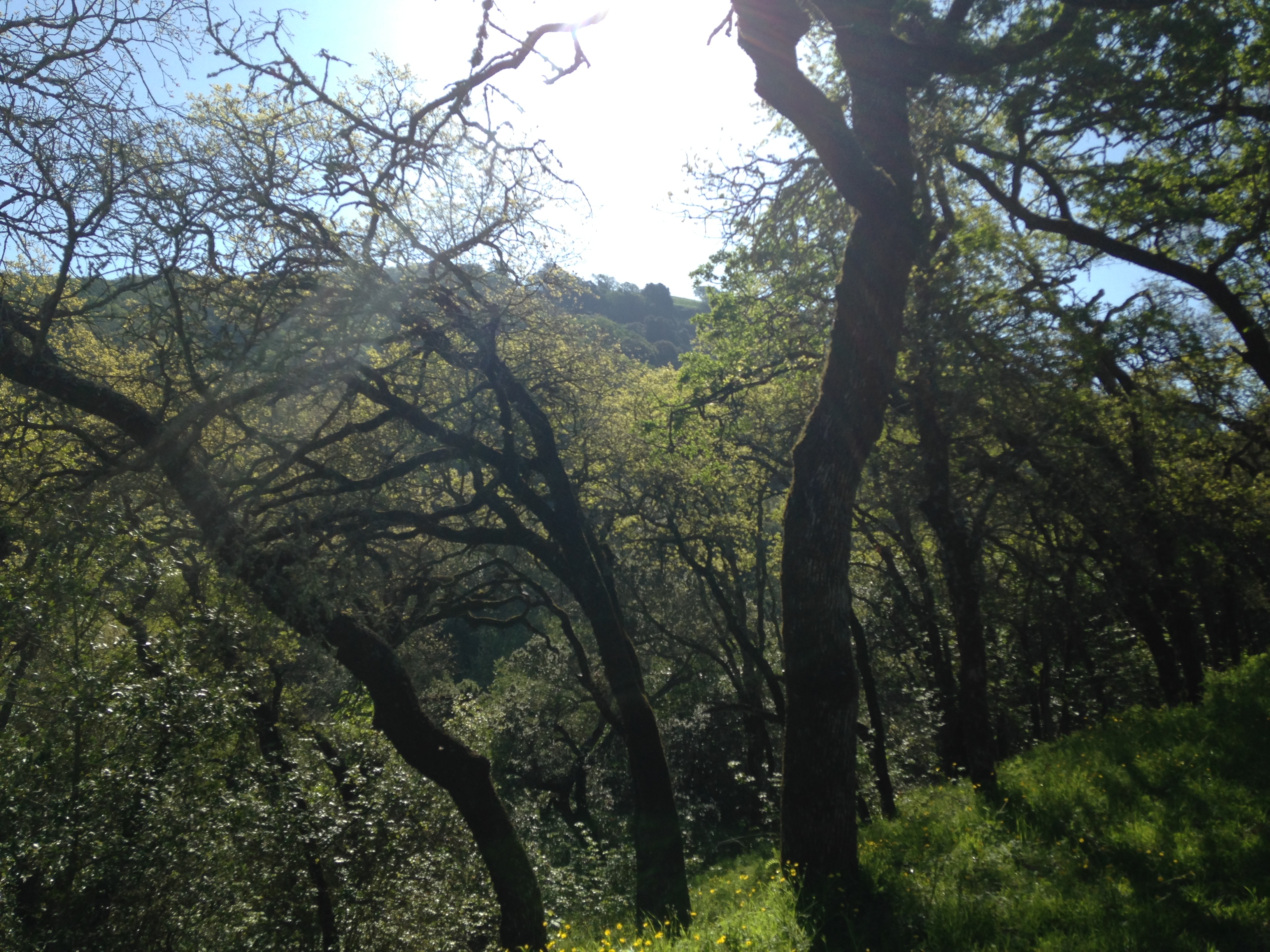
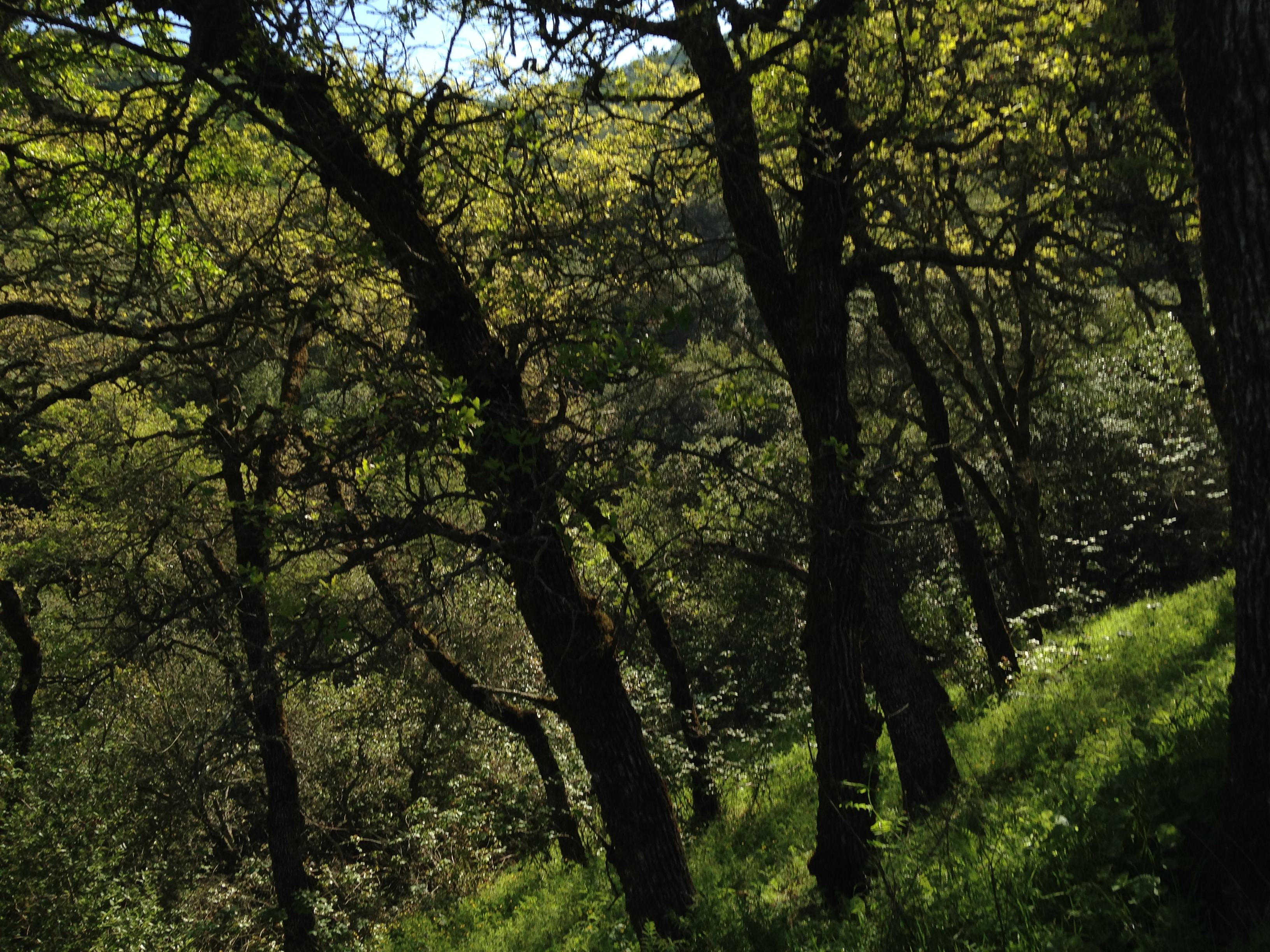
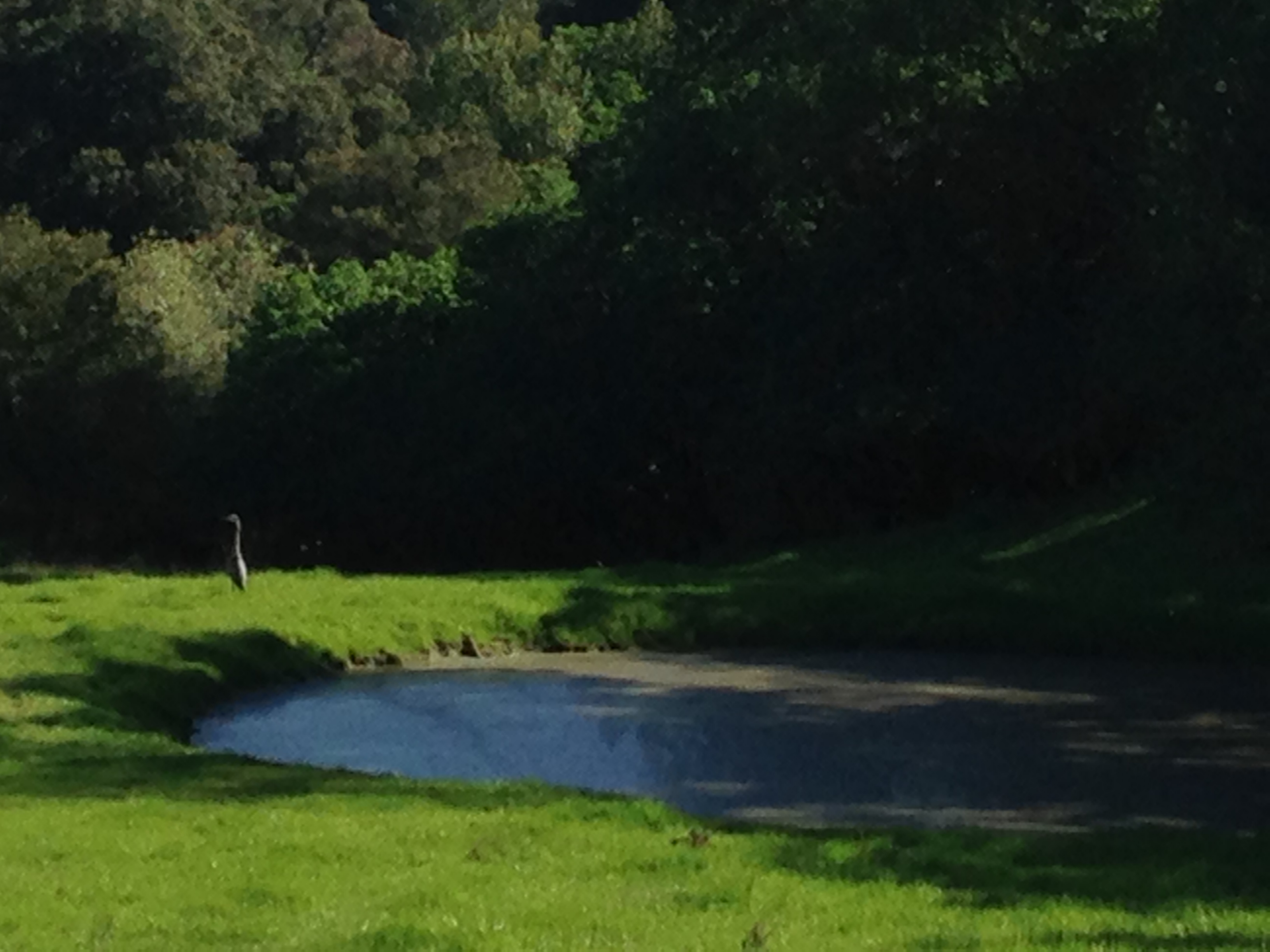
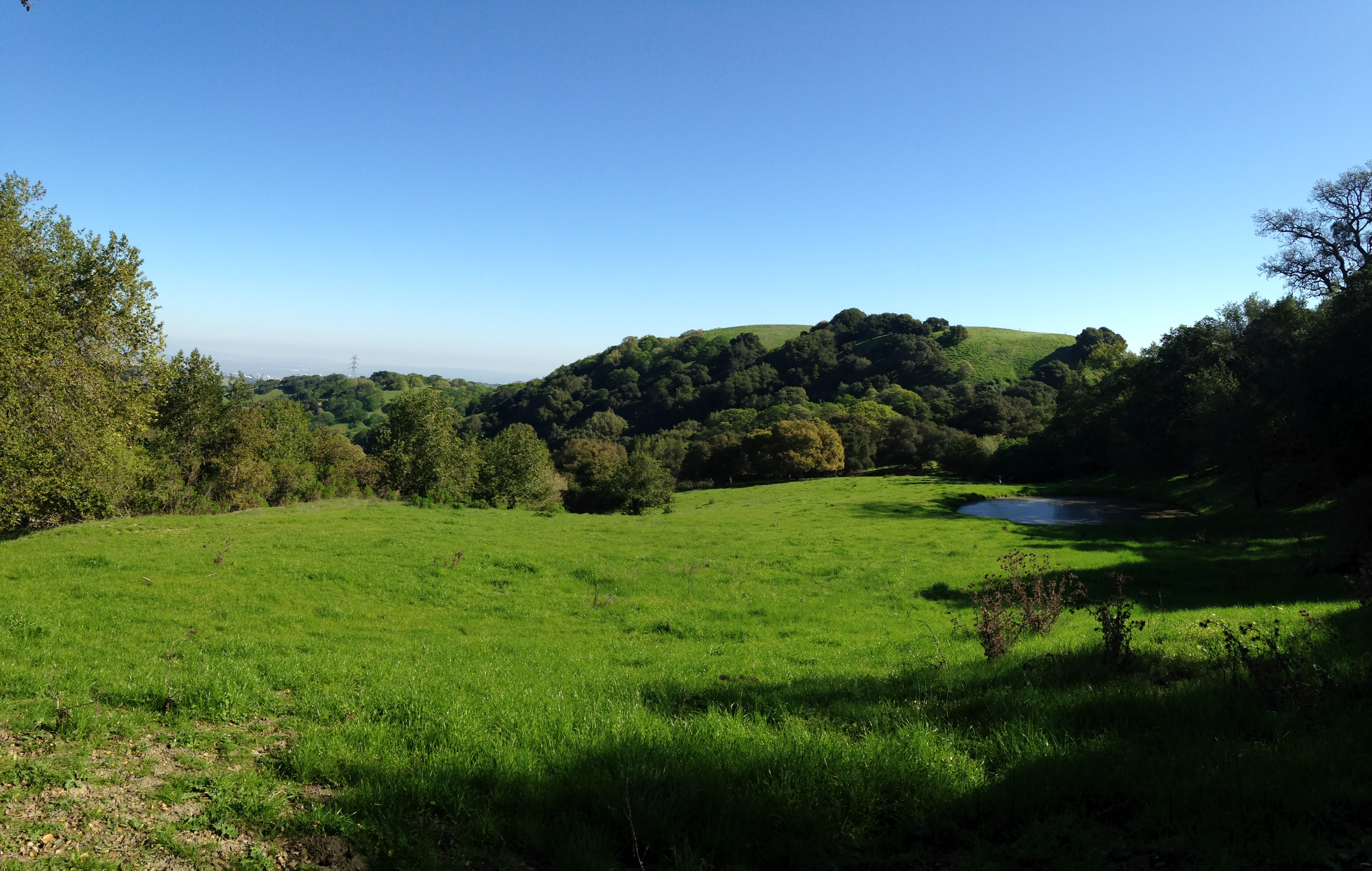
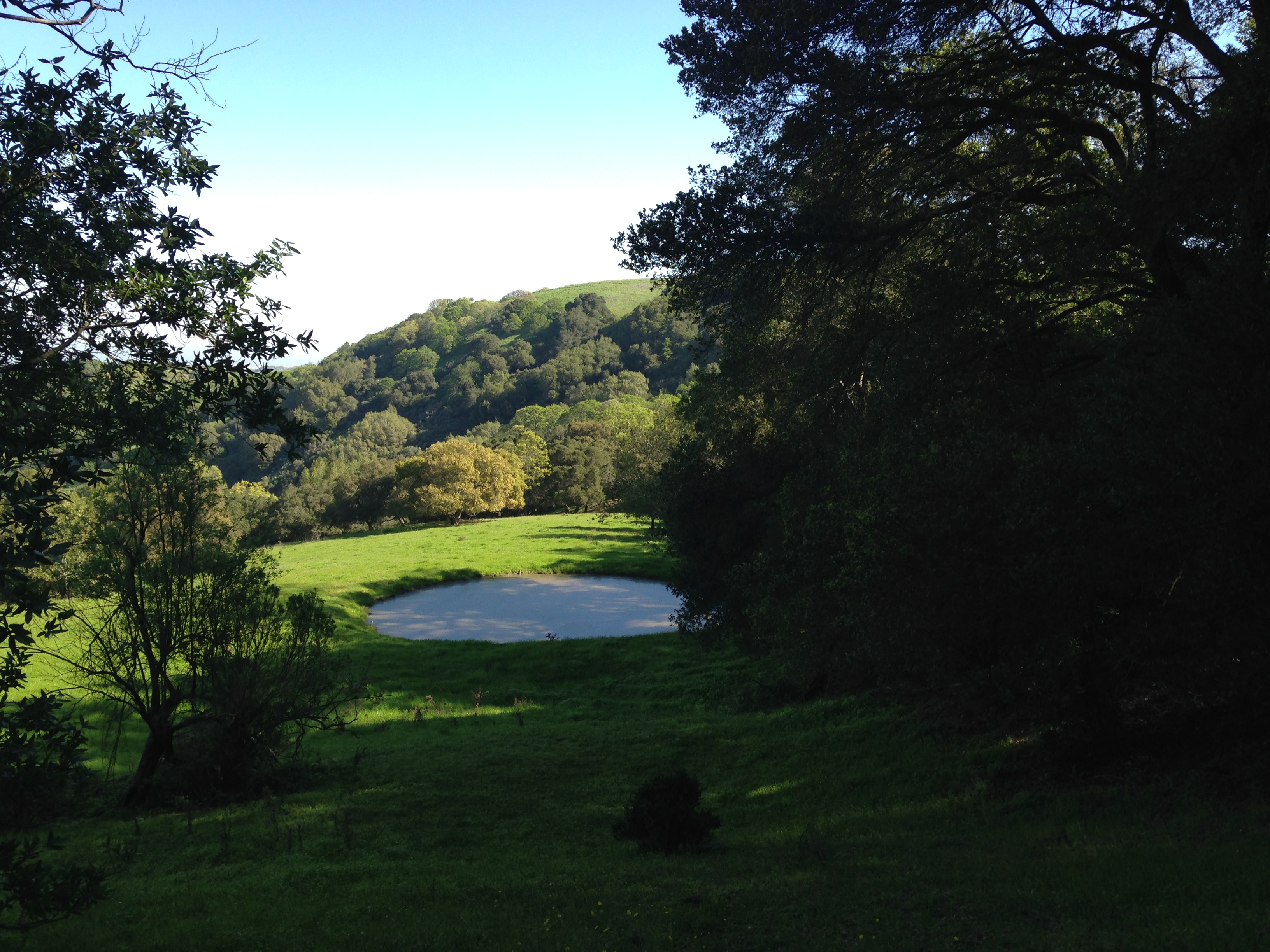
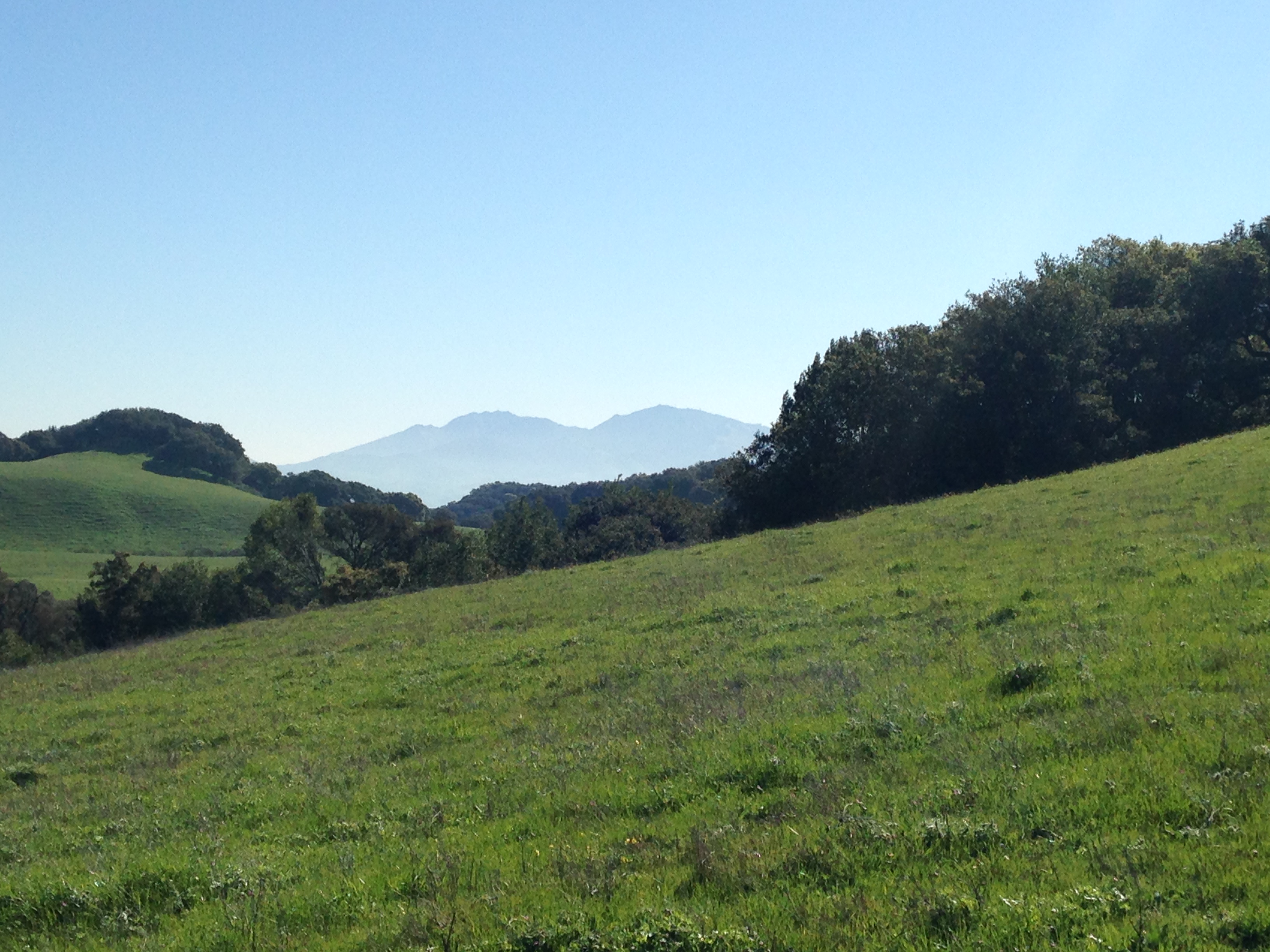
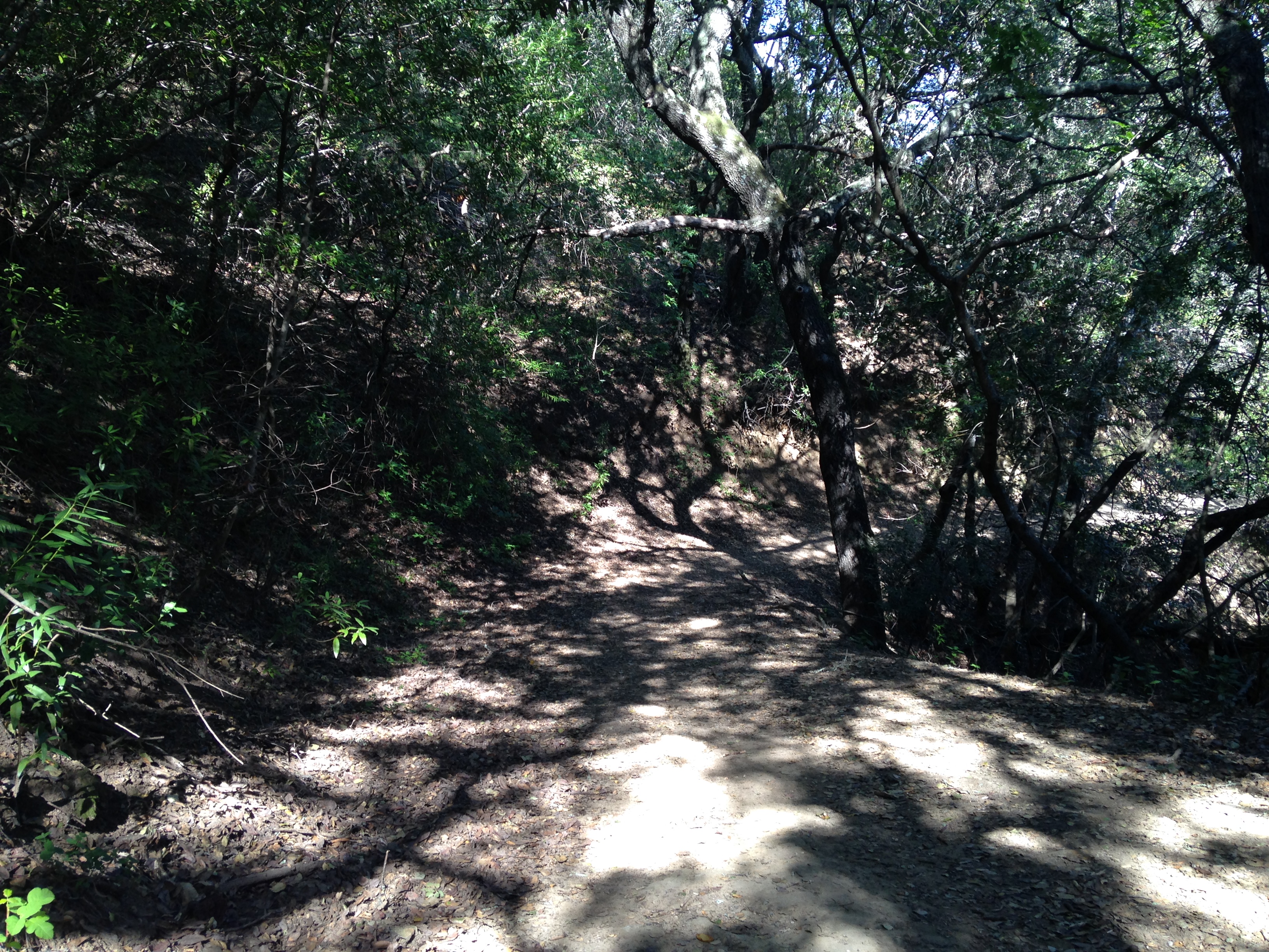
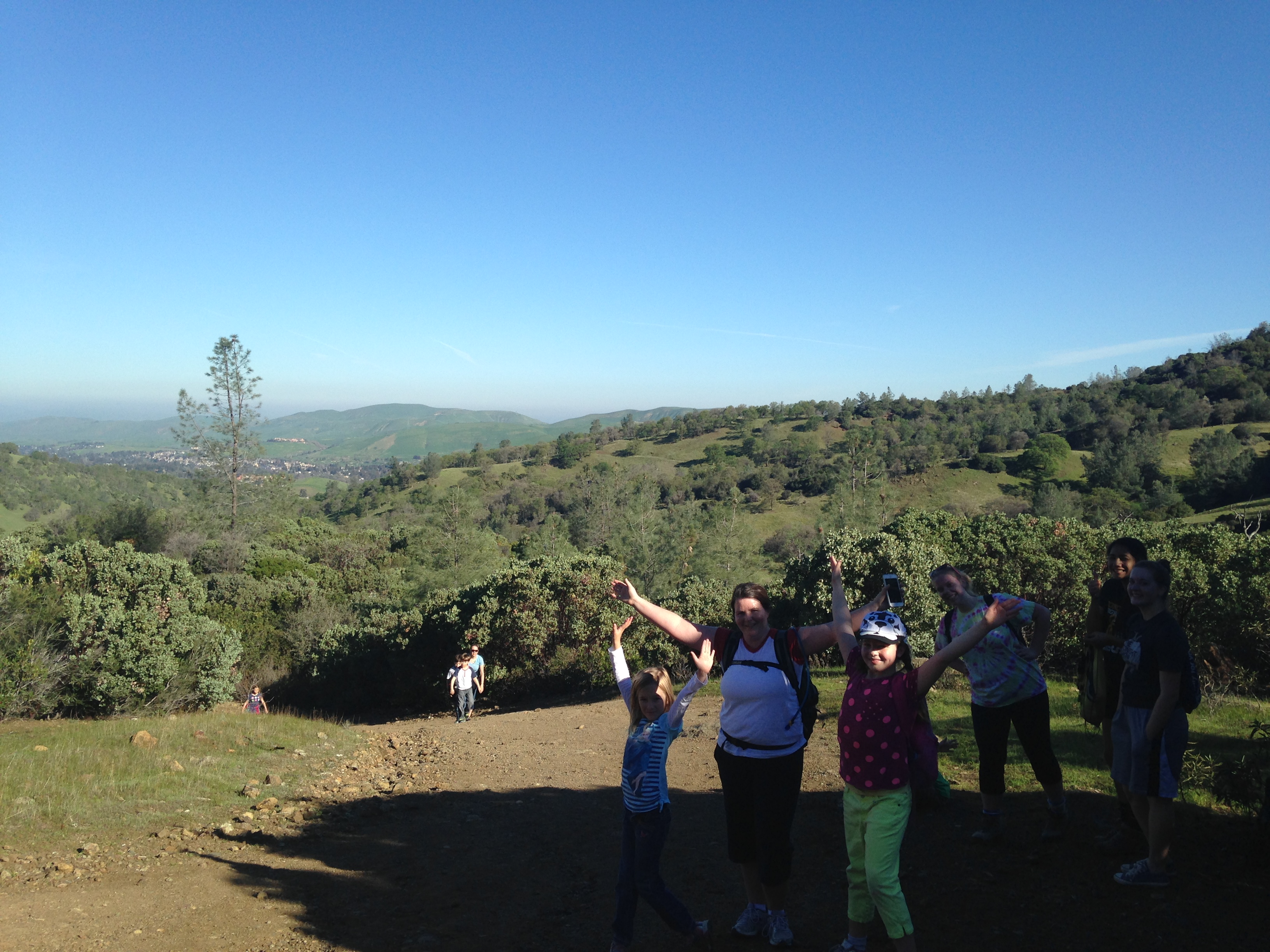
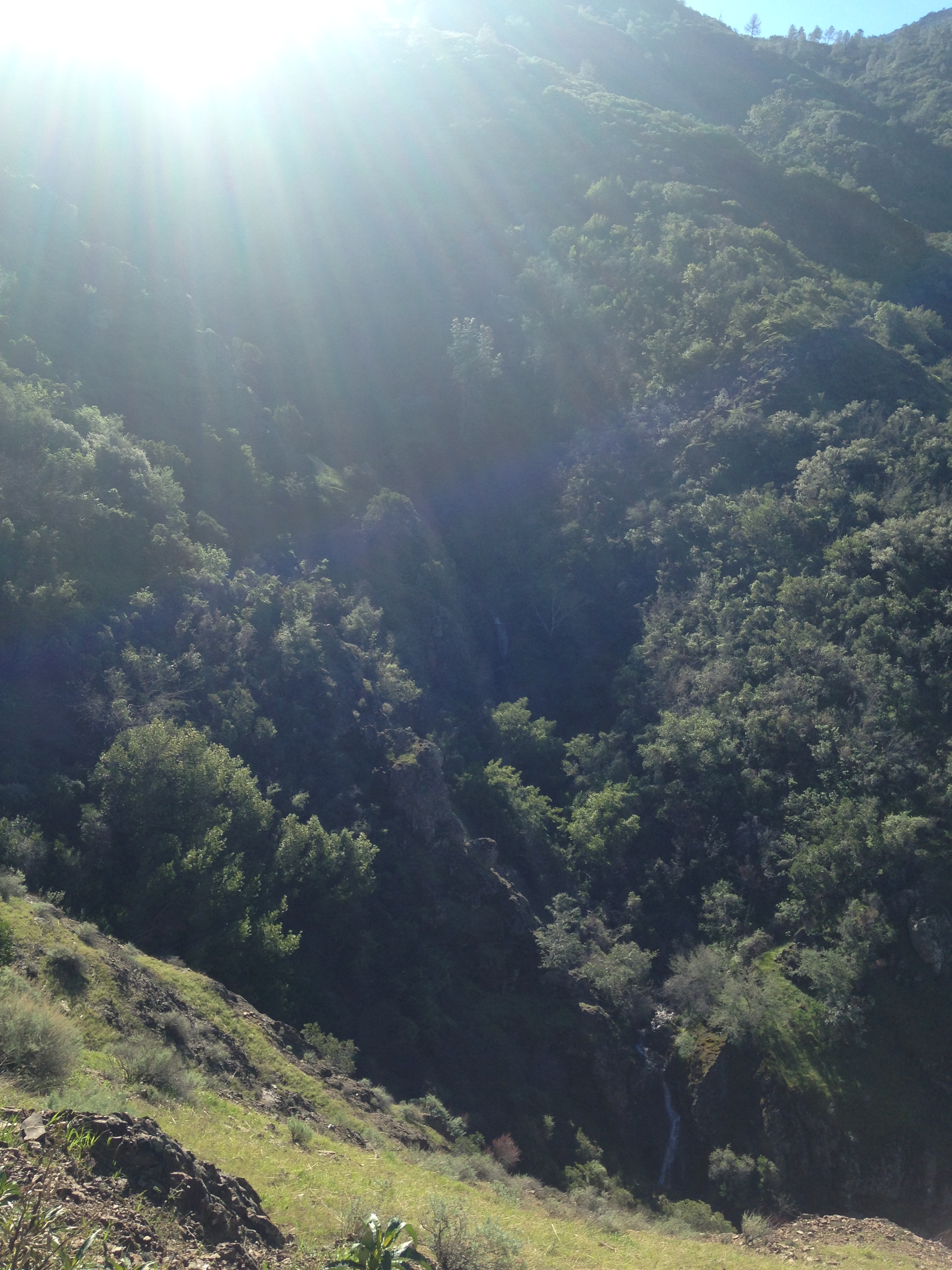
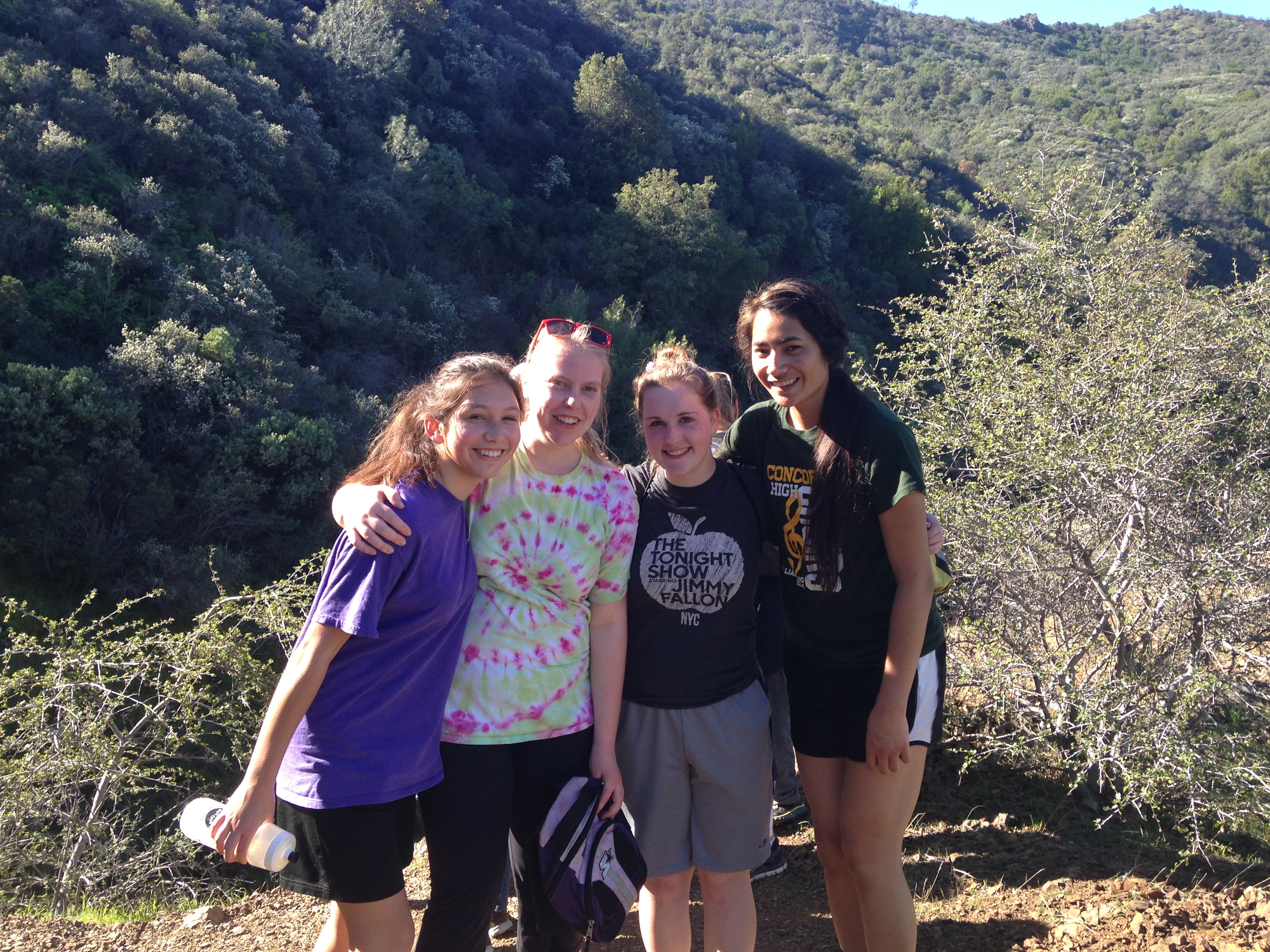
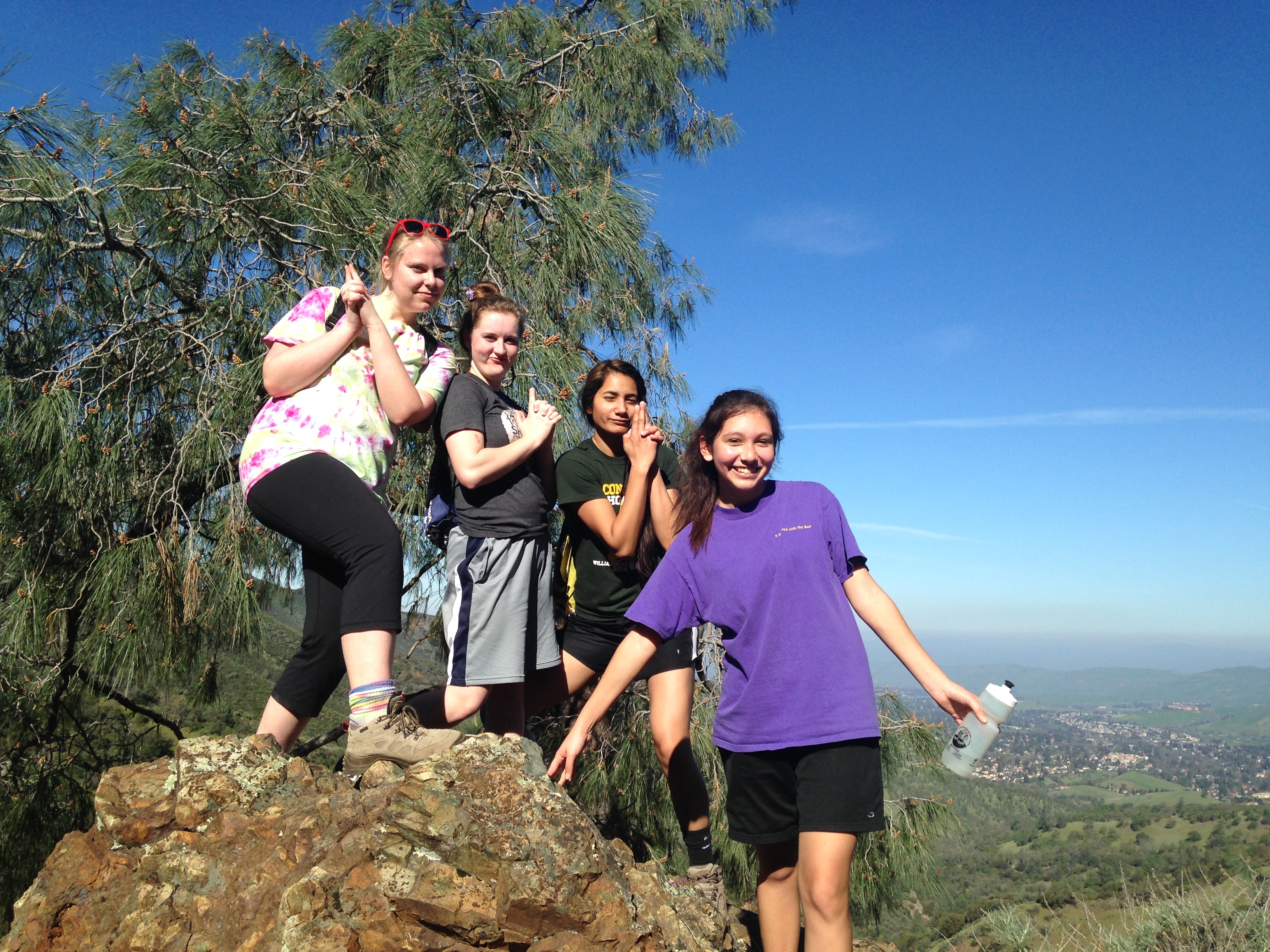
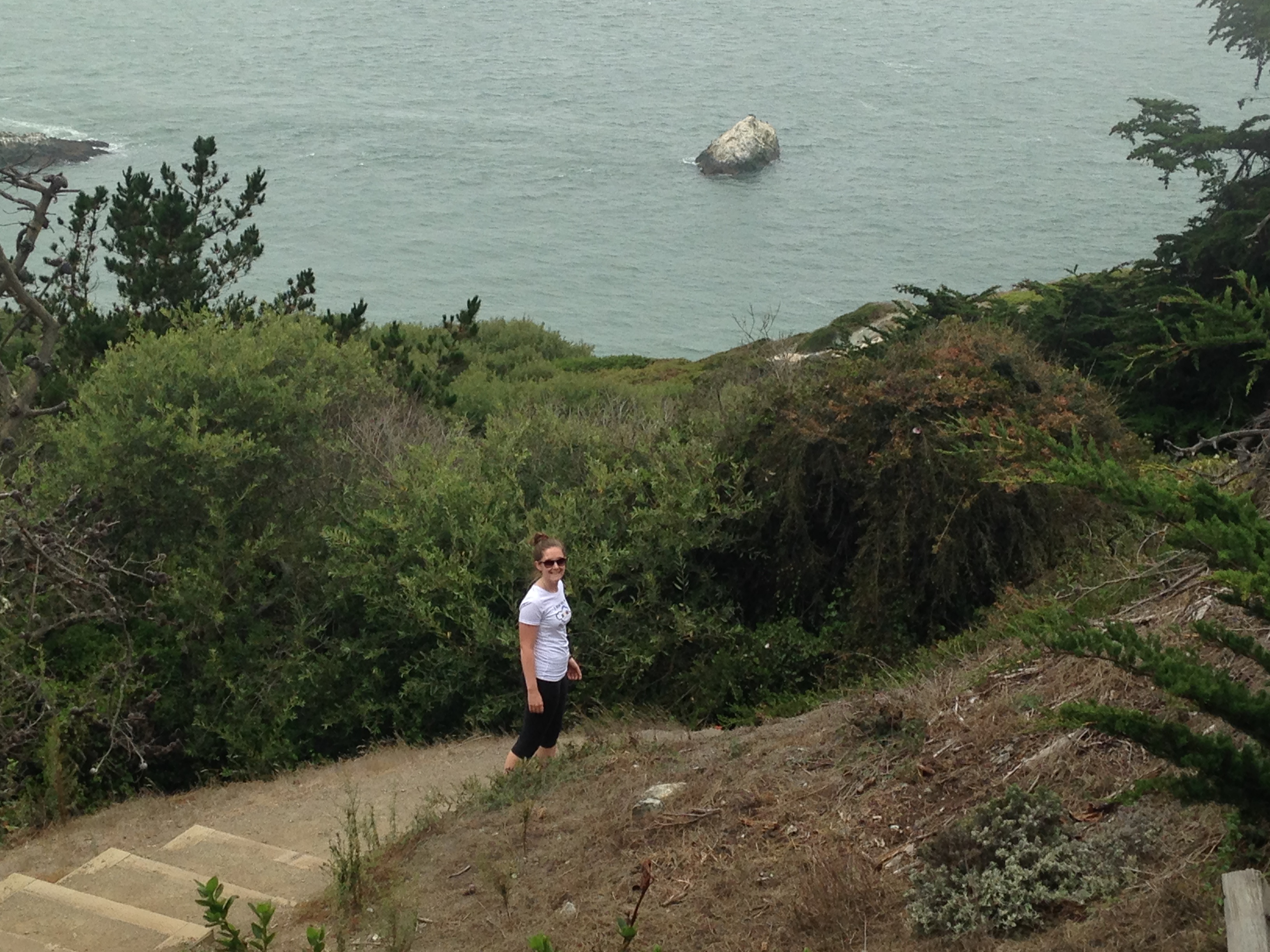
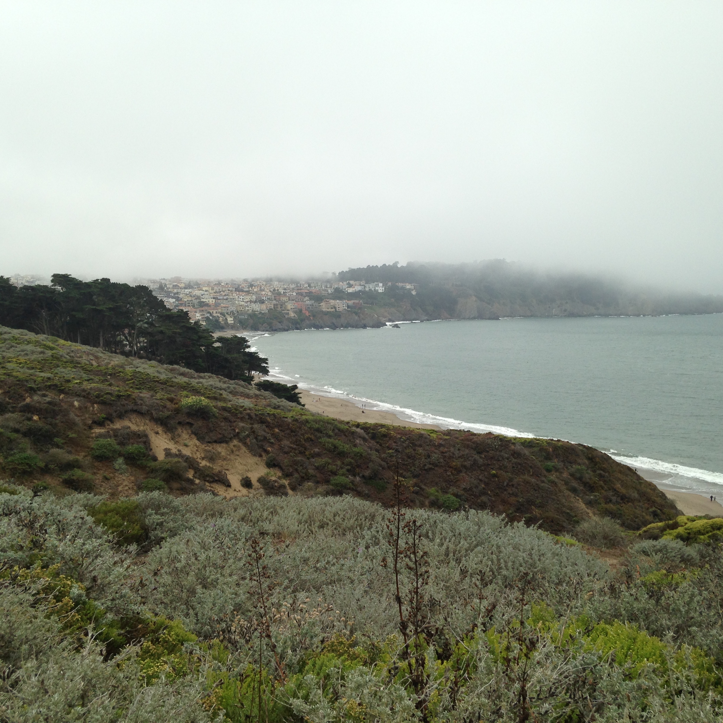
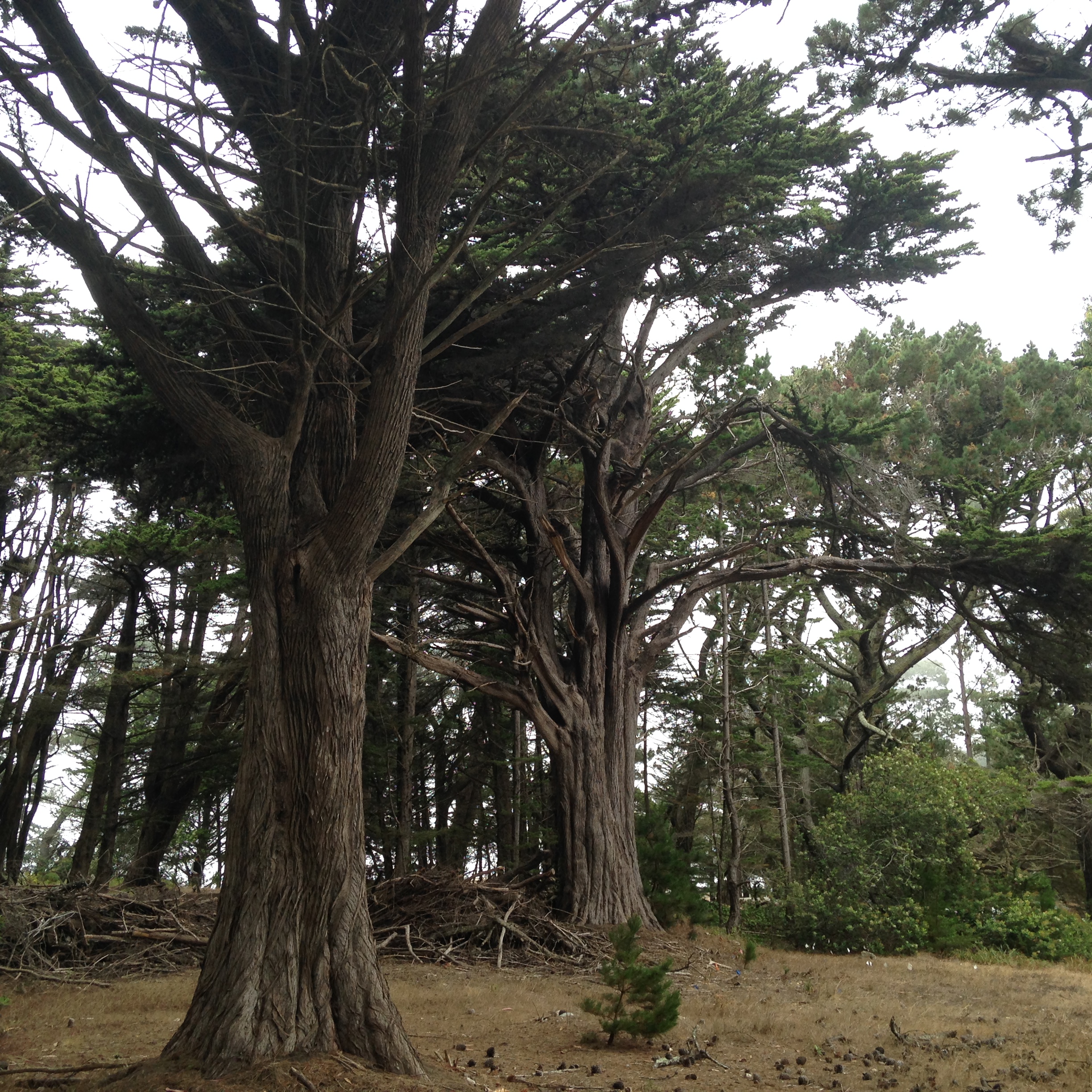
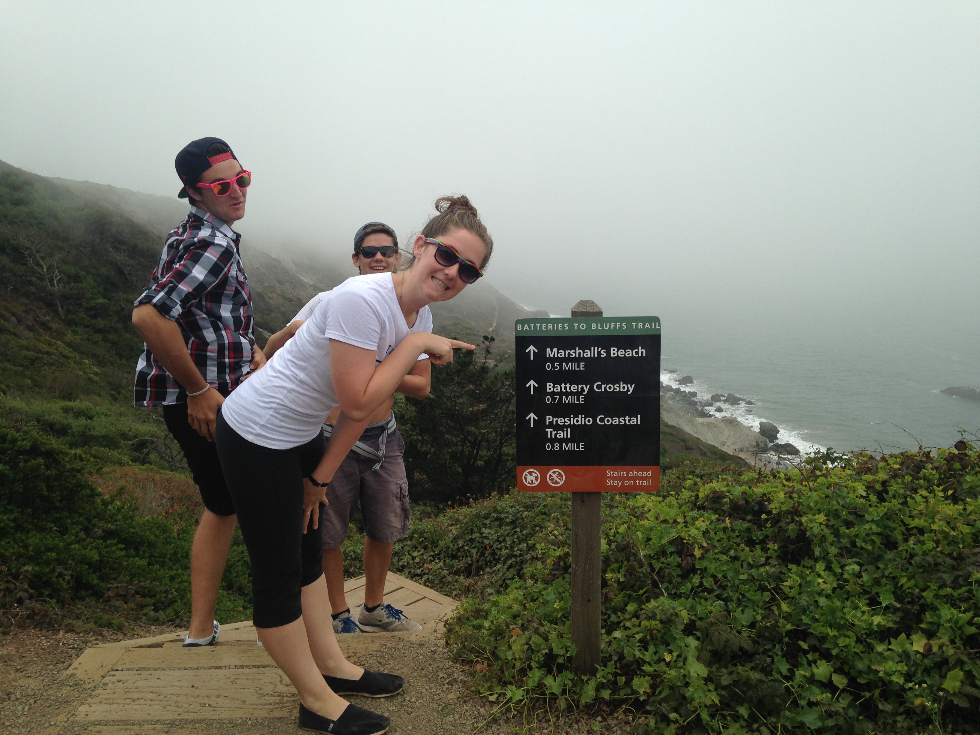
The surroundings are beautiful and it feels so peaceful and quiet. batteries to bluffs 061 batteries to bluffs 062 batteries to bluffs 064 batteries to bluffs 066 batteries to bluffs 082 batteries to bluffs 085  
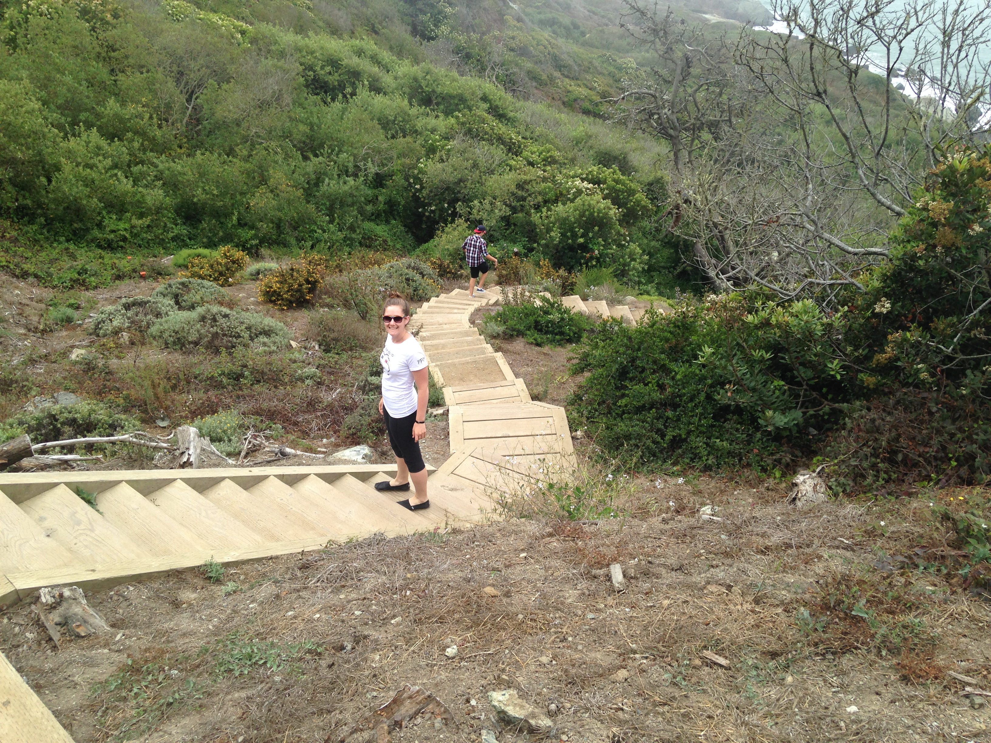
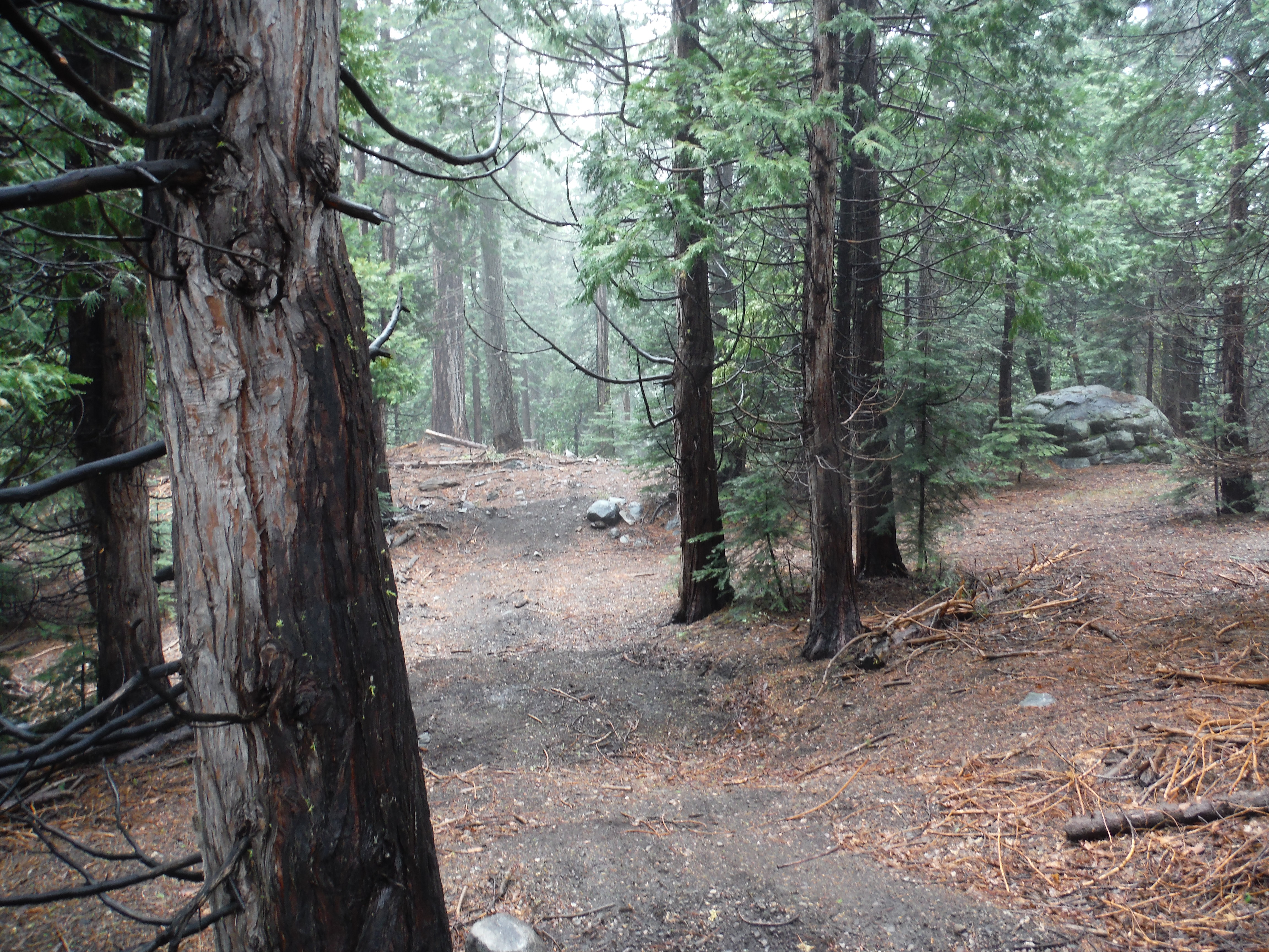
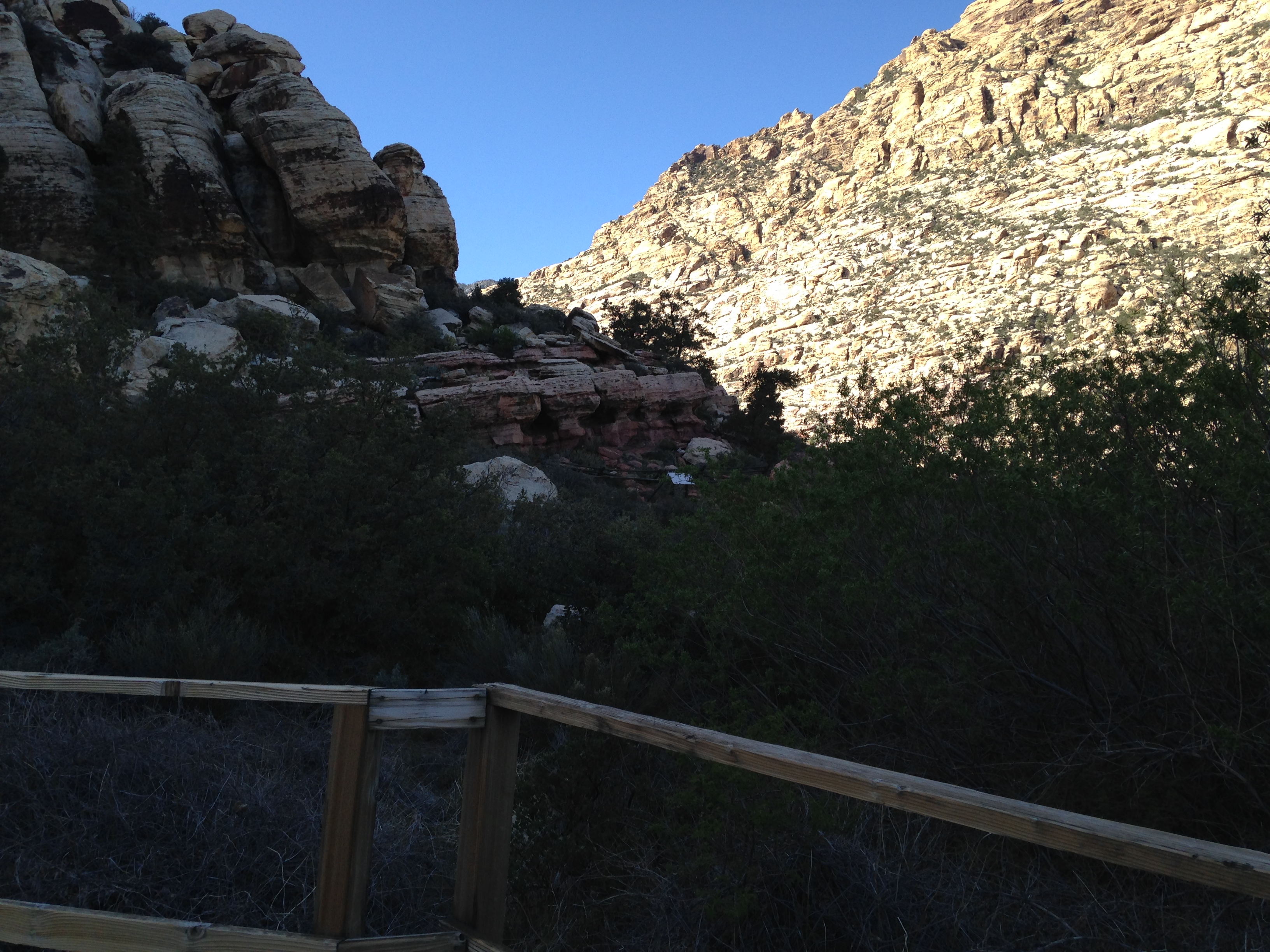
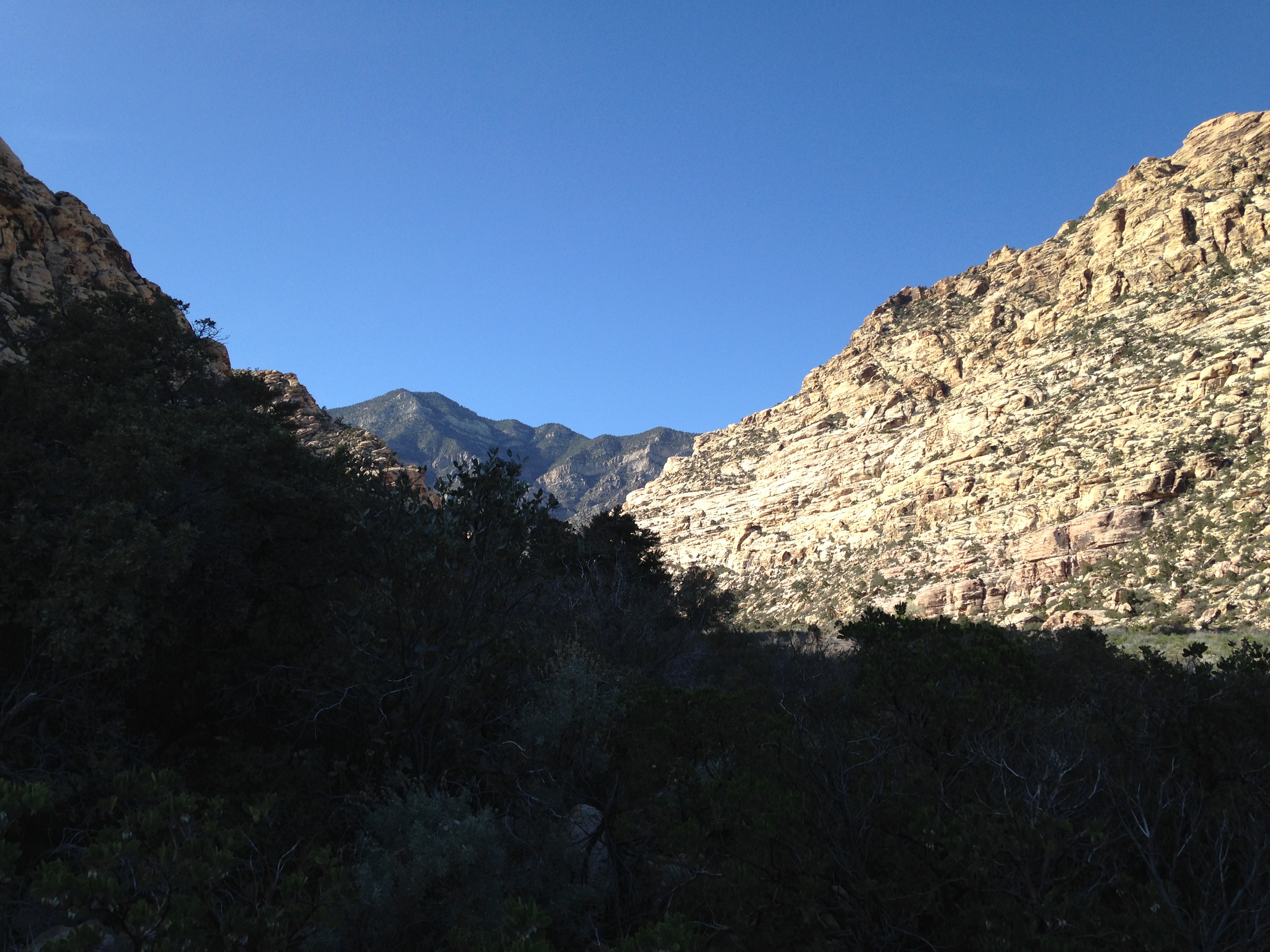
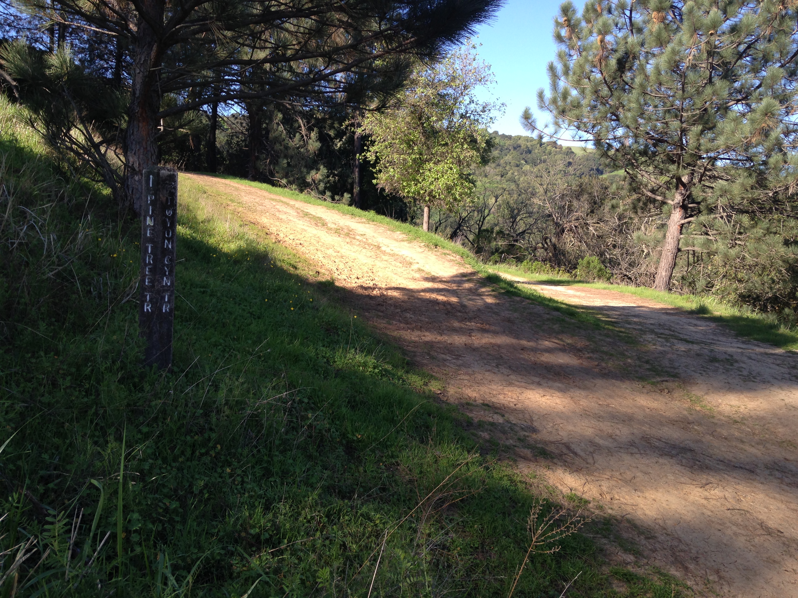
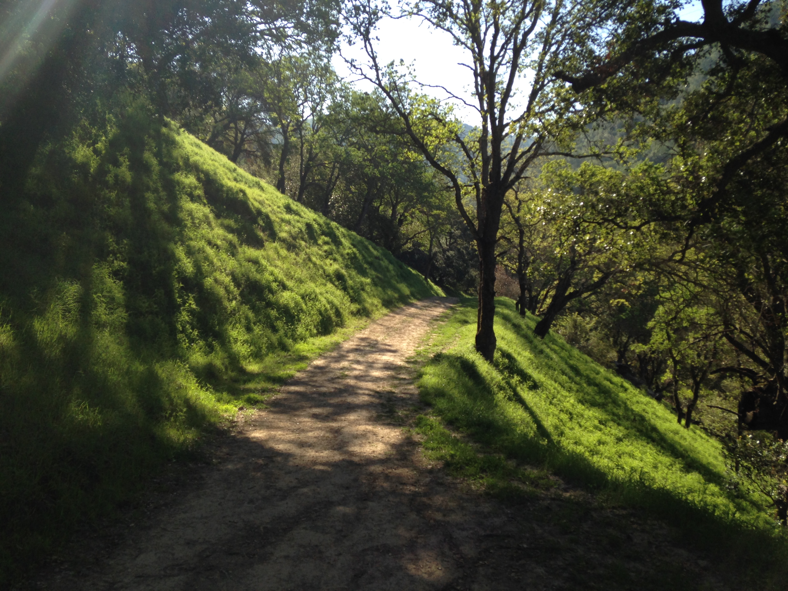
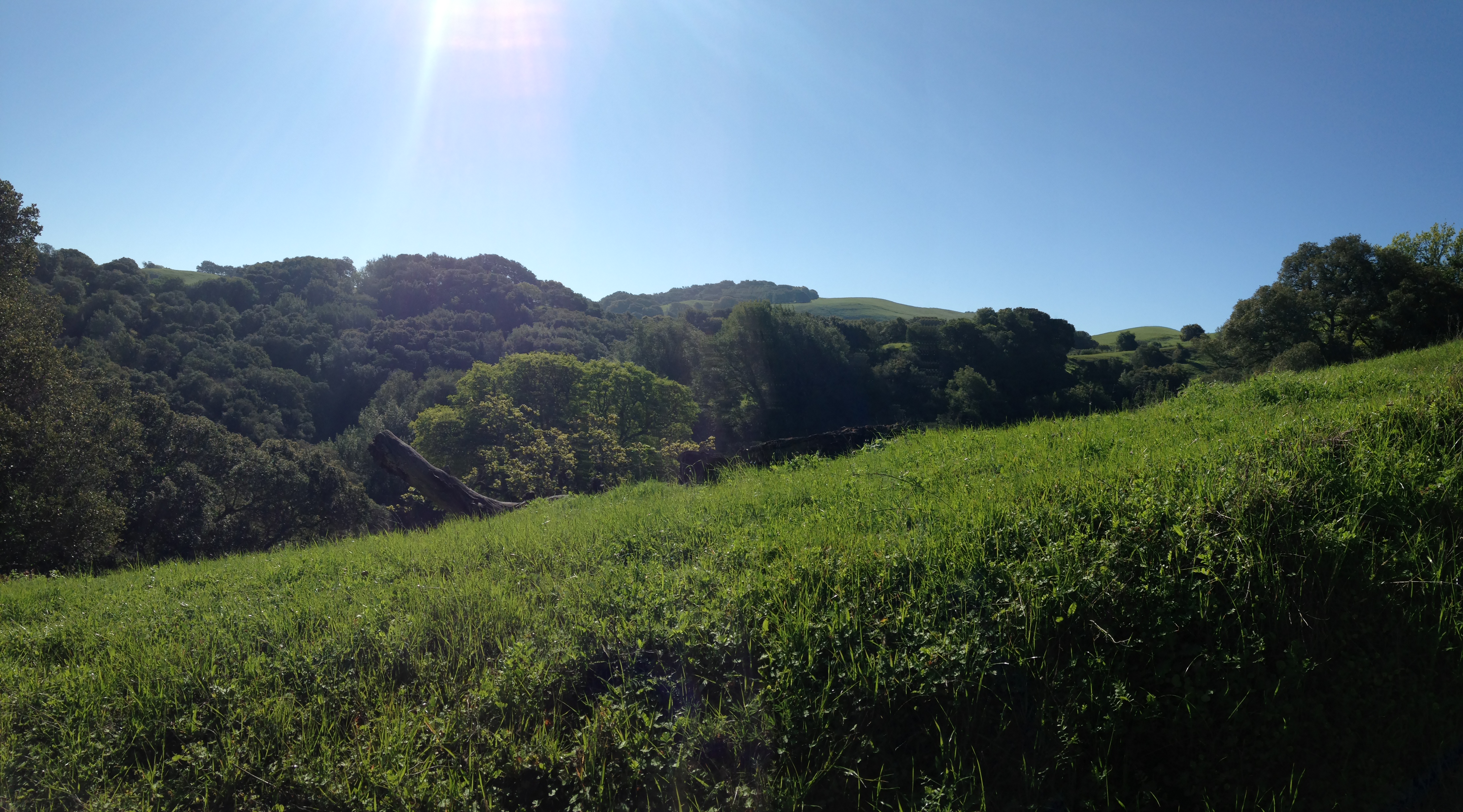
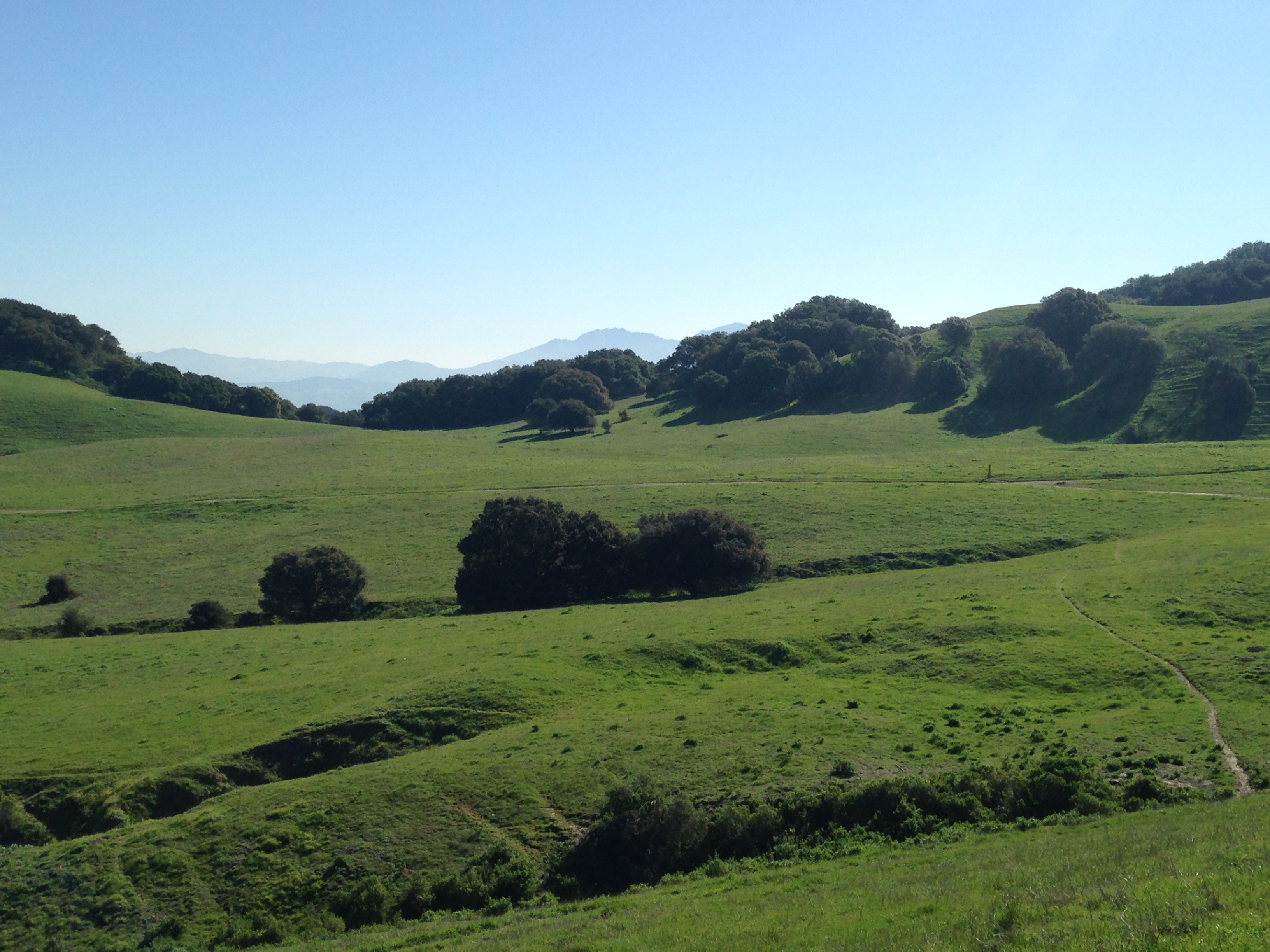
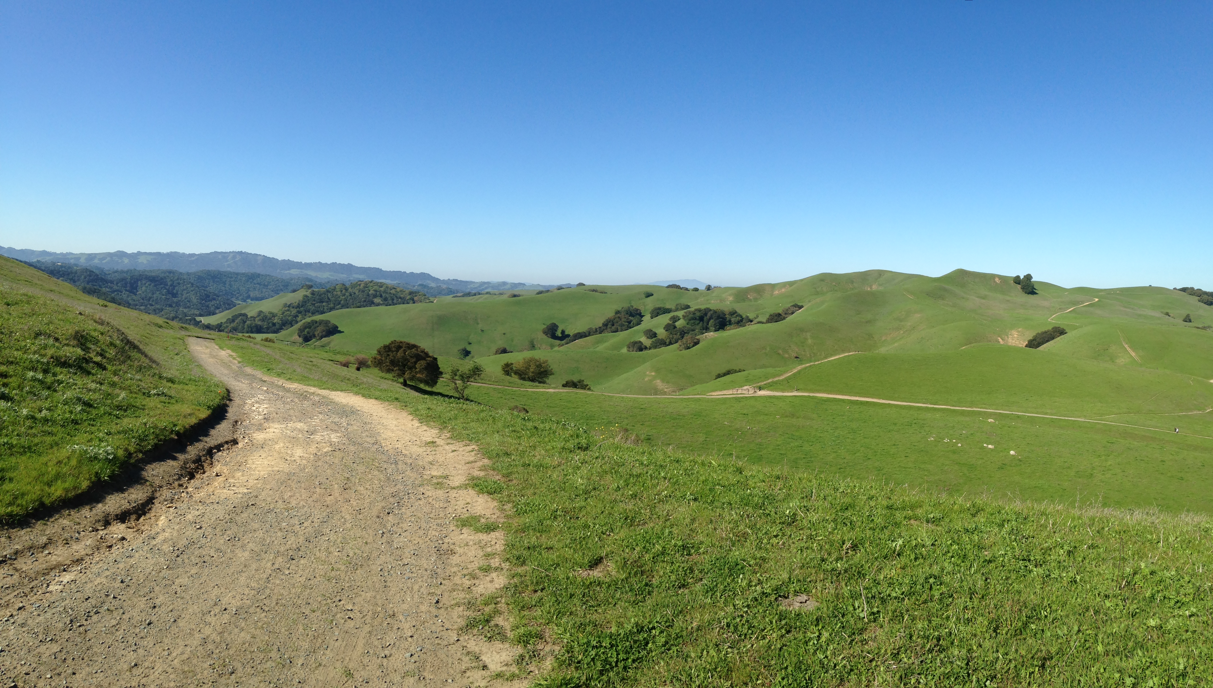
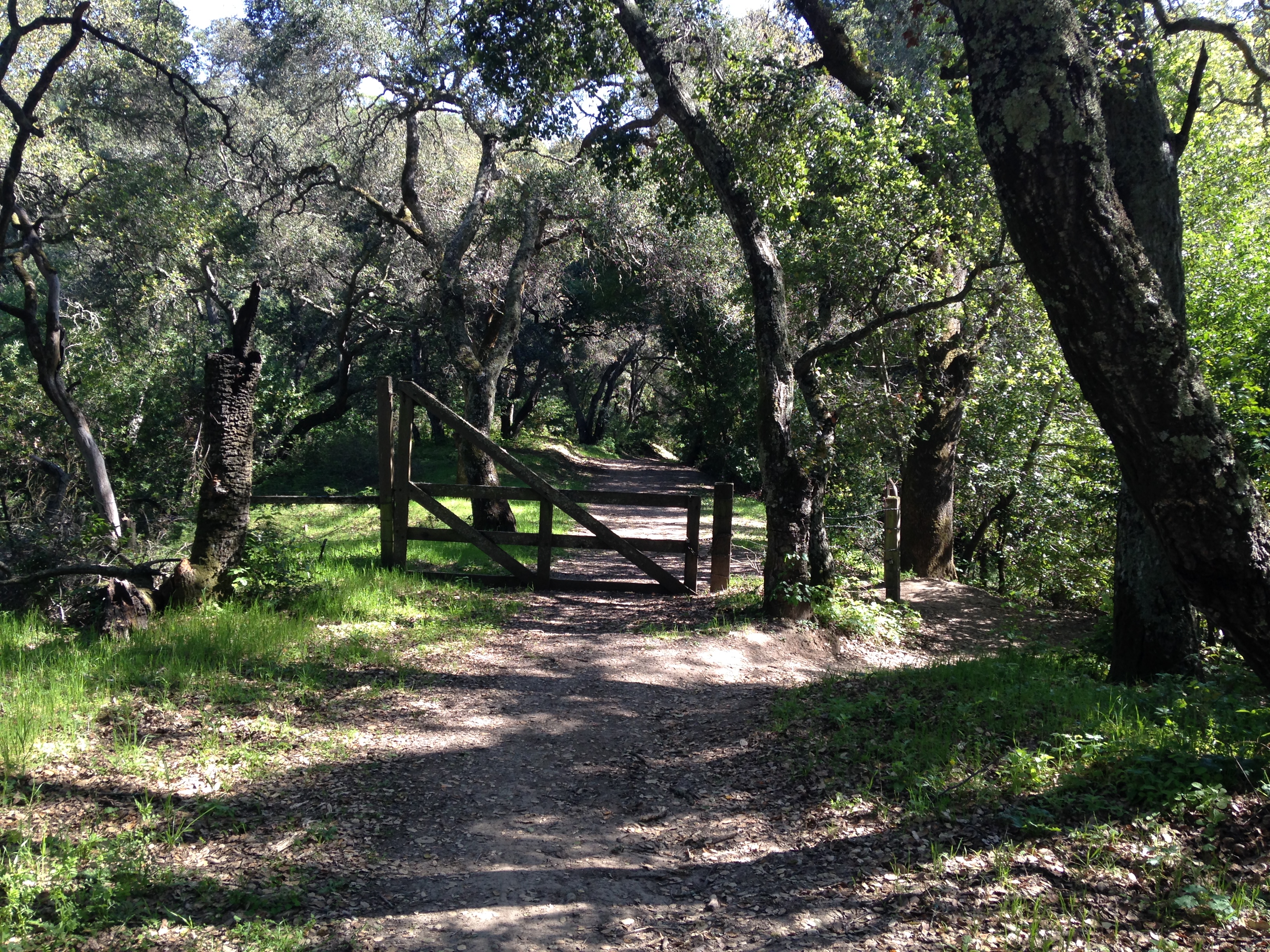
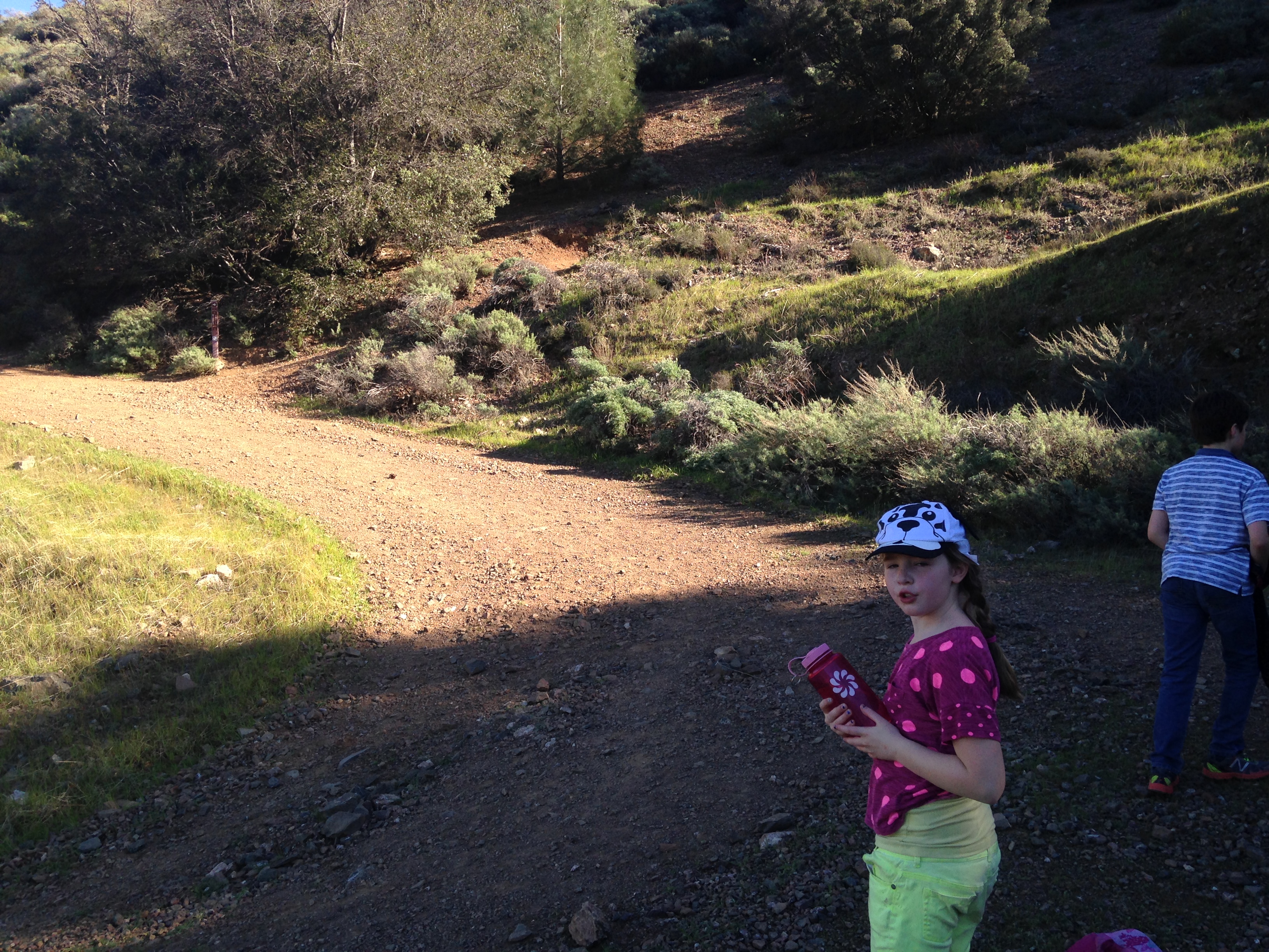
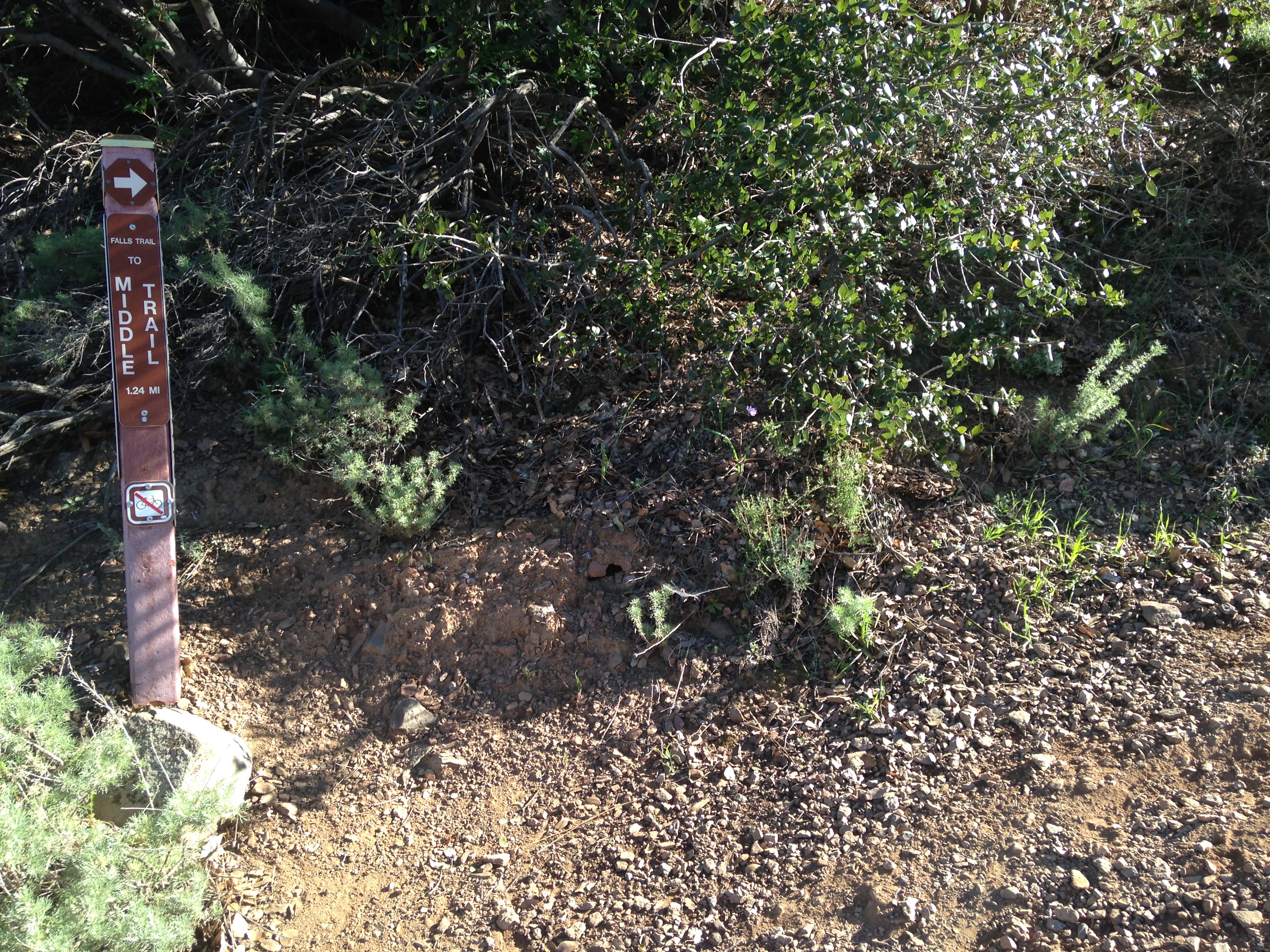
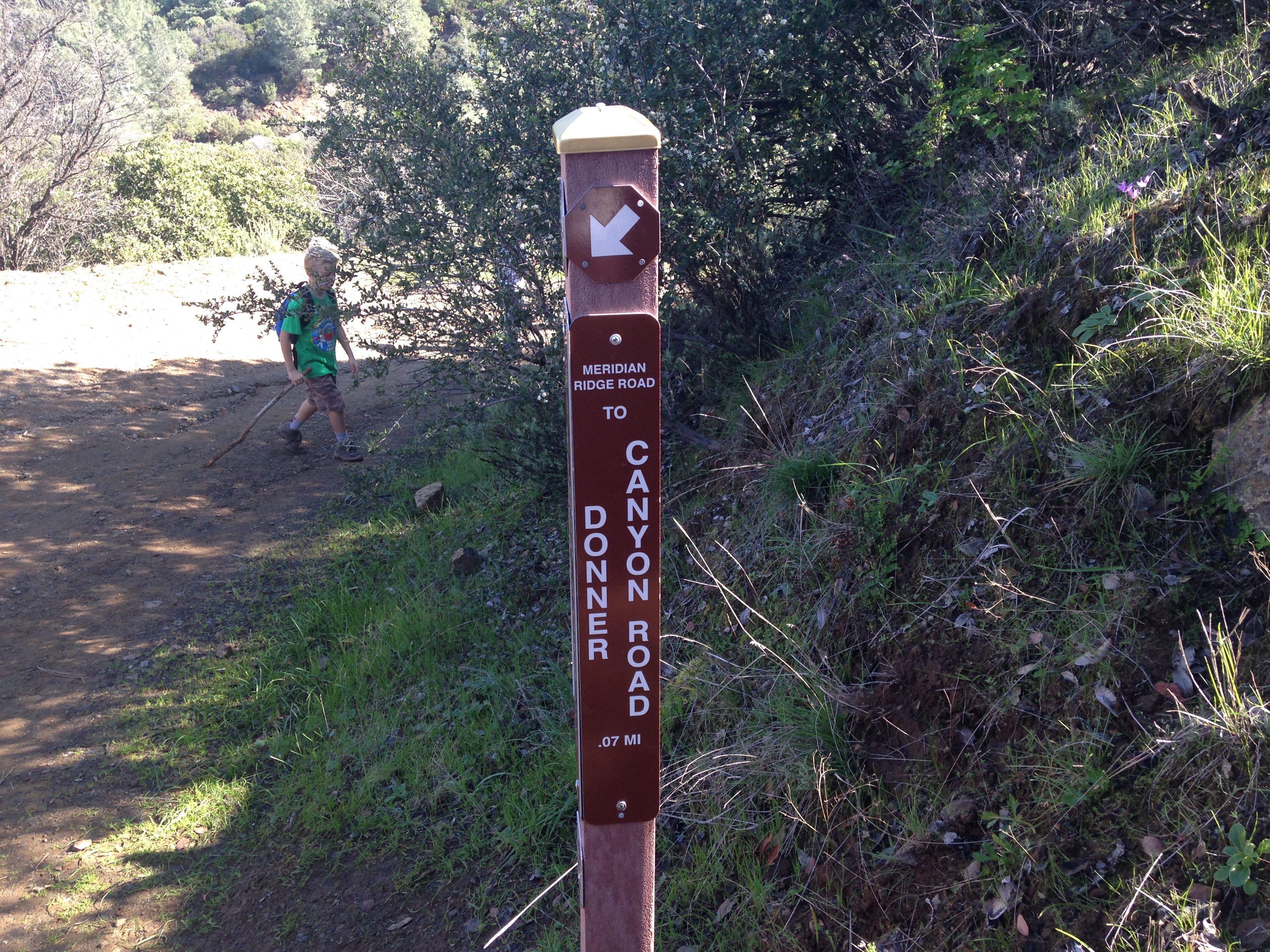
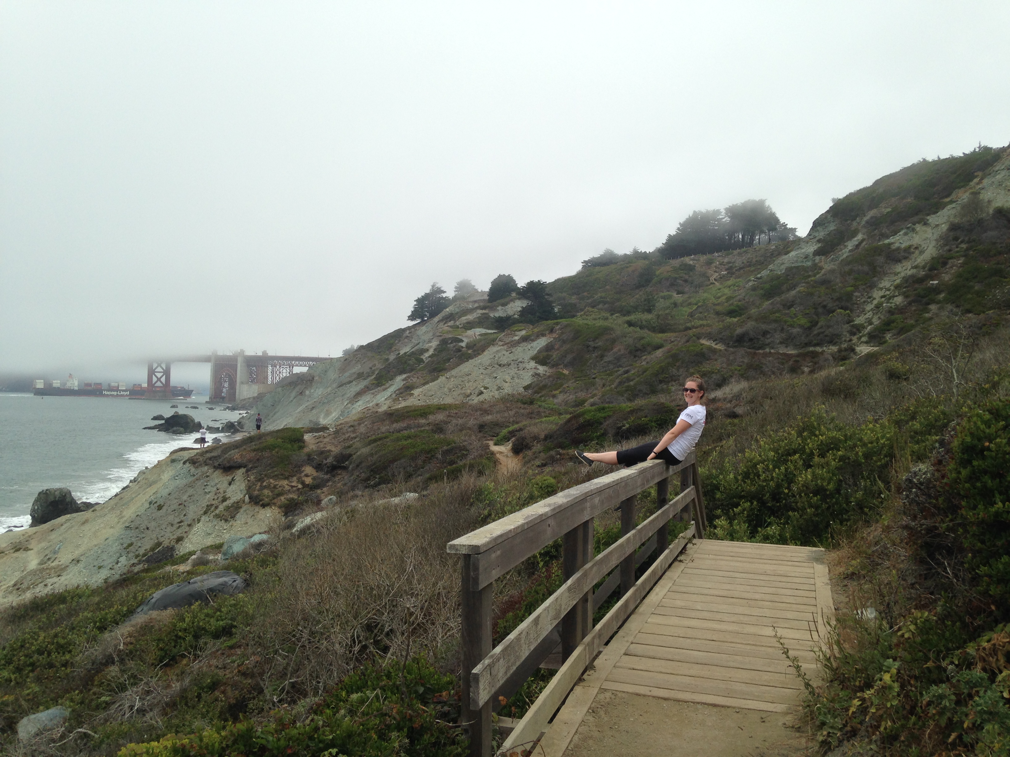
The trail is well marked and easy to follow. batteries to bluffs 084  
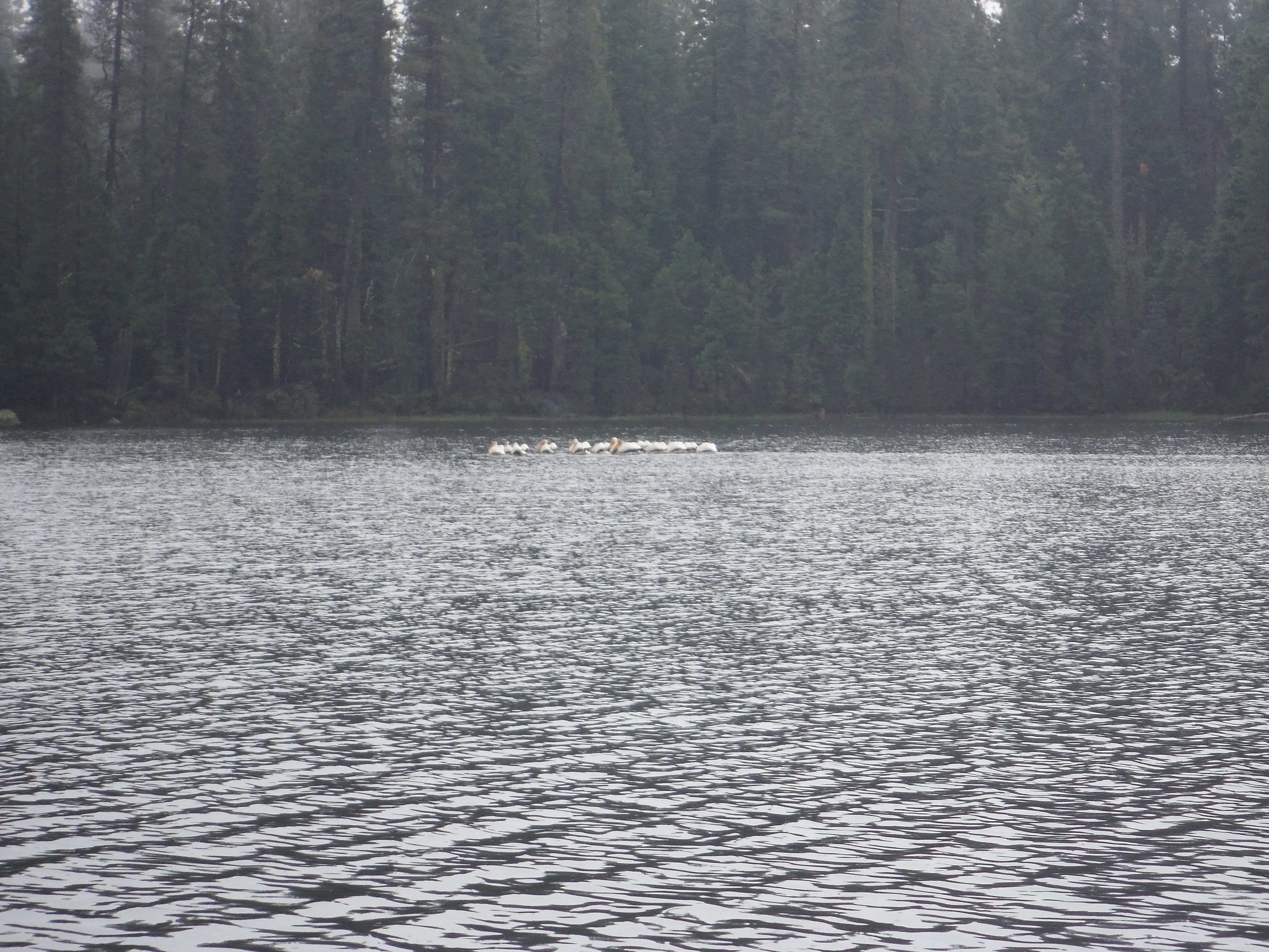
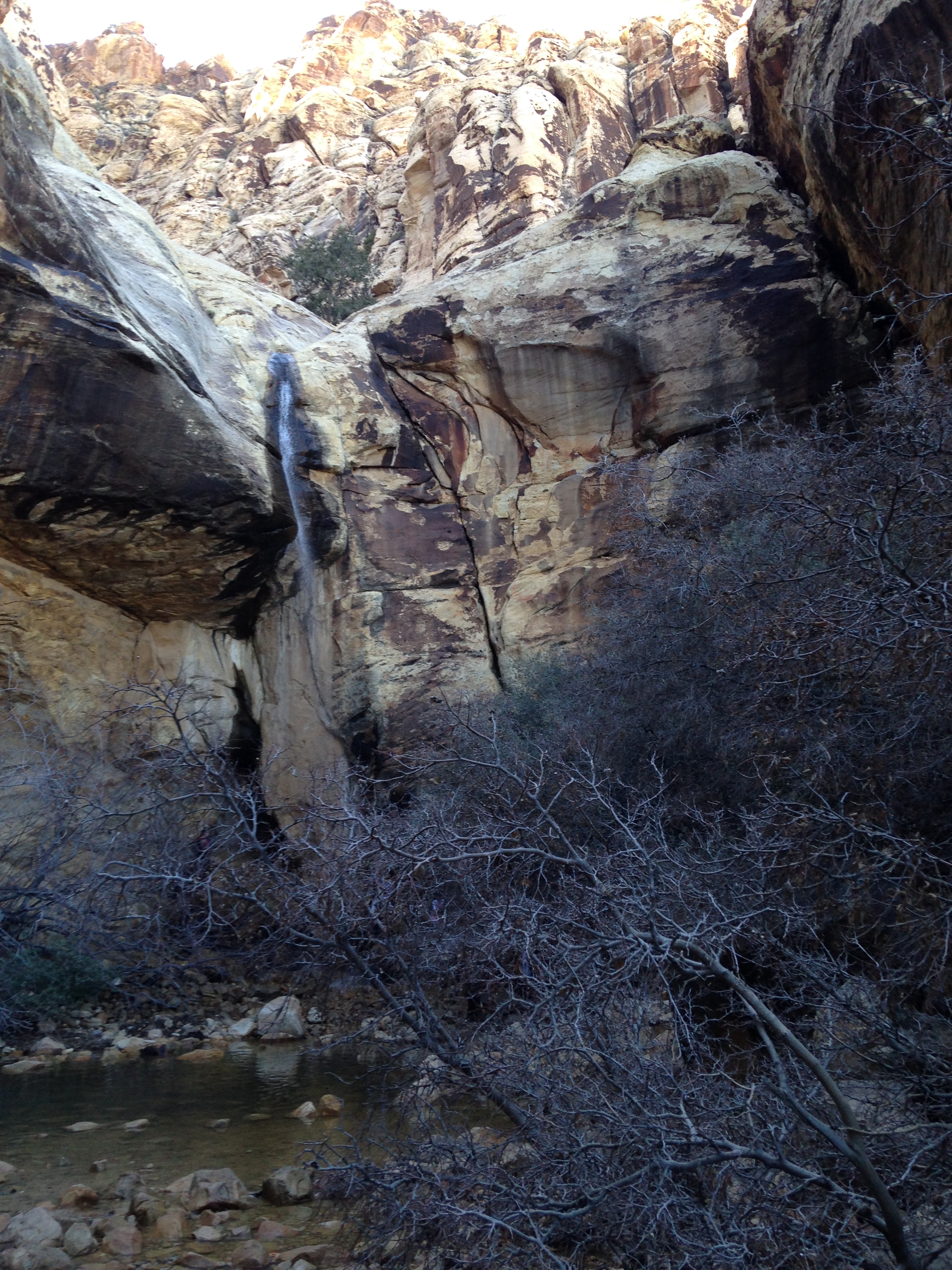
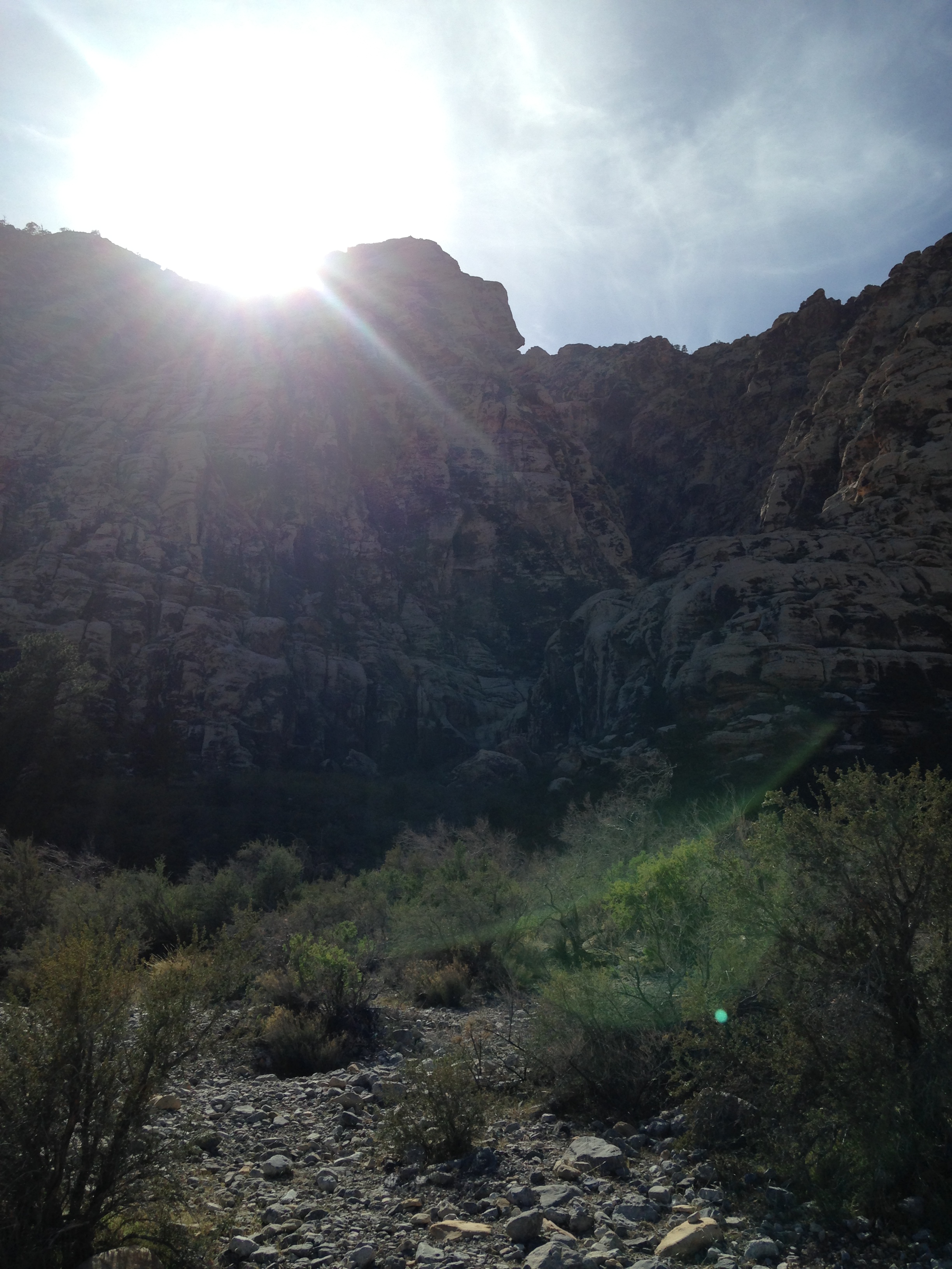
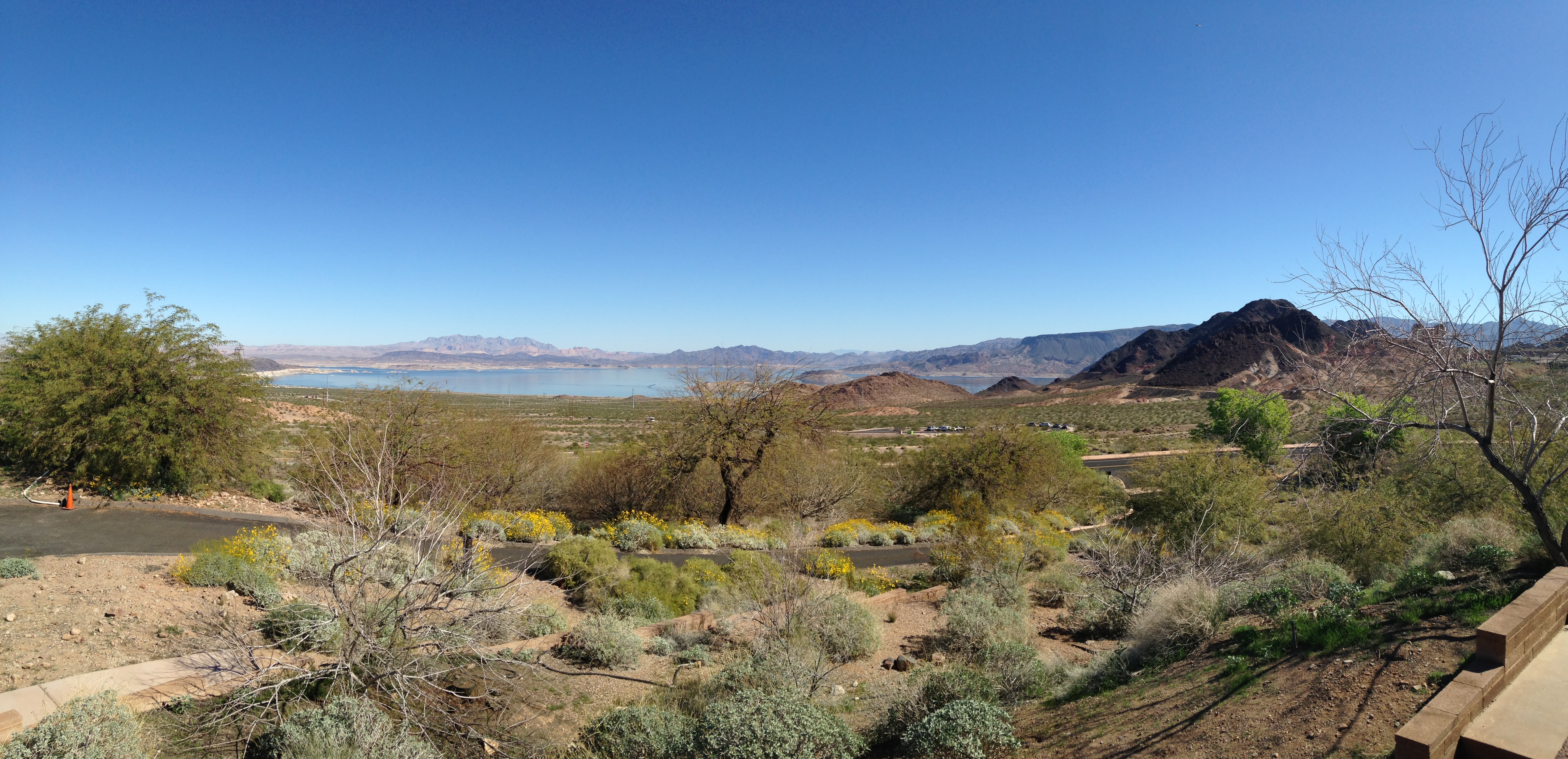
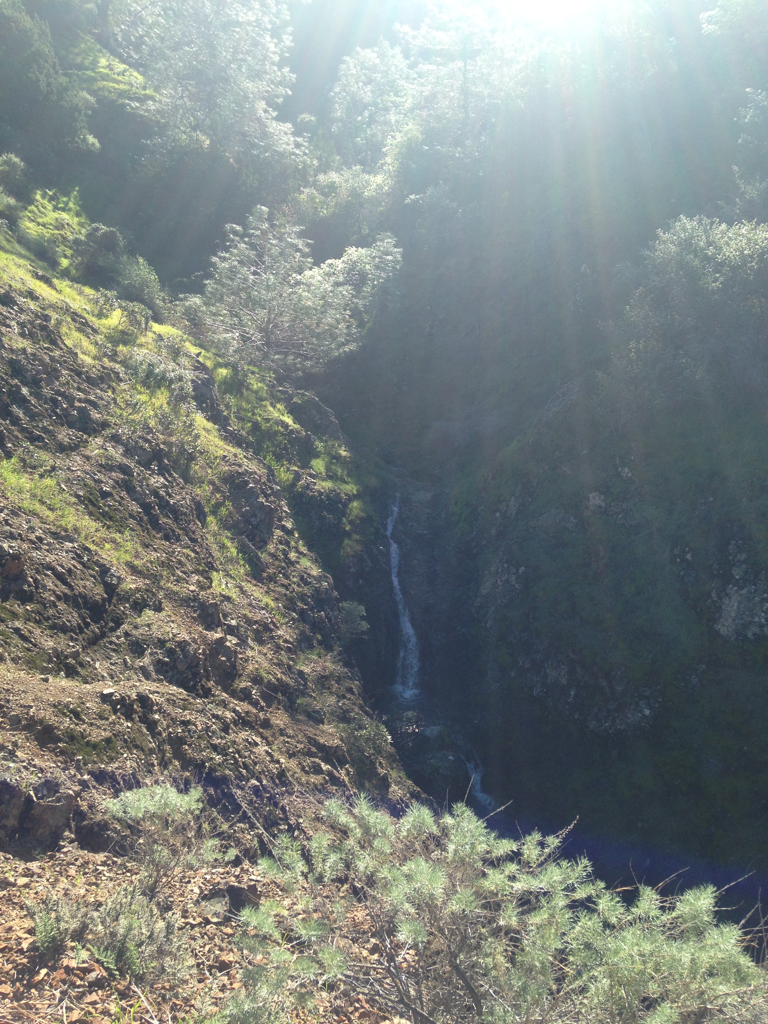
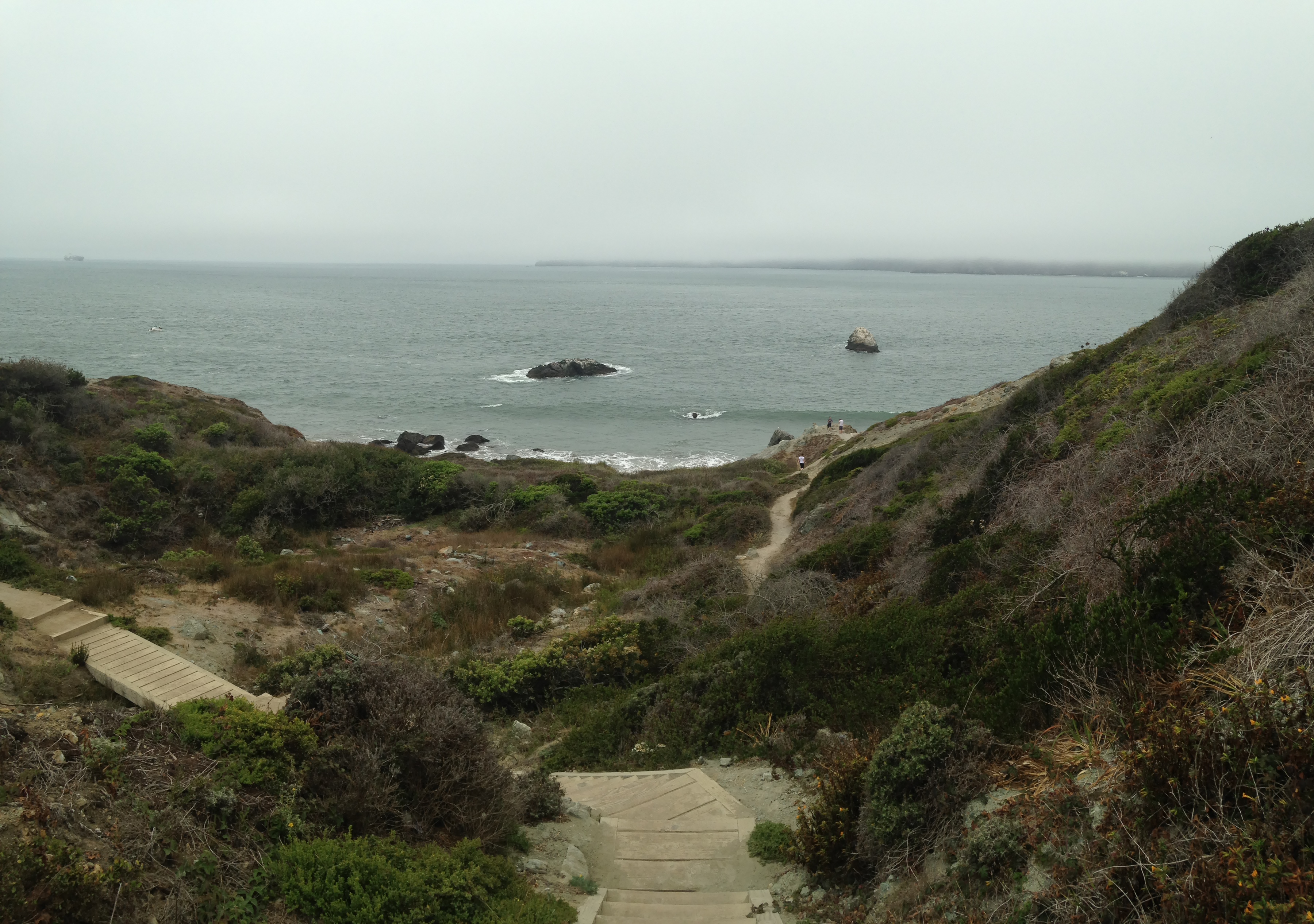
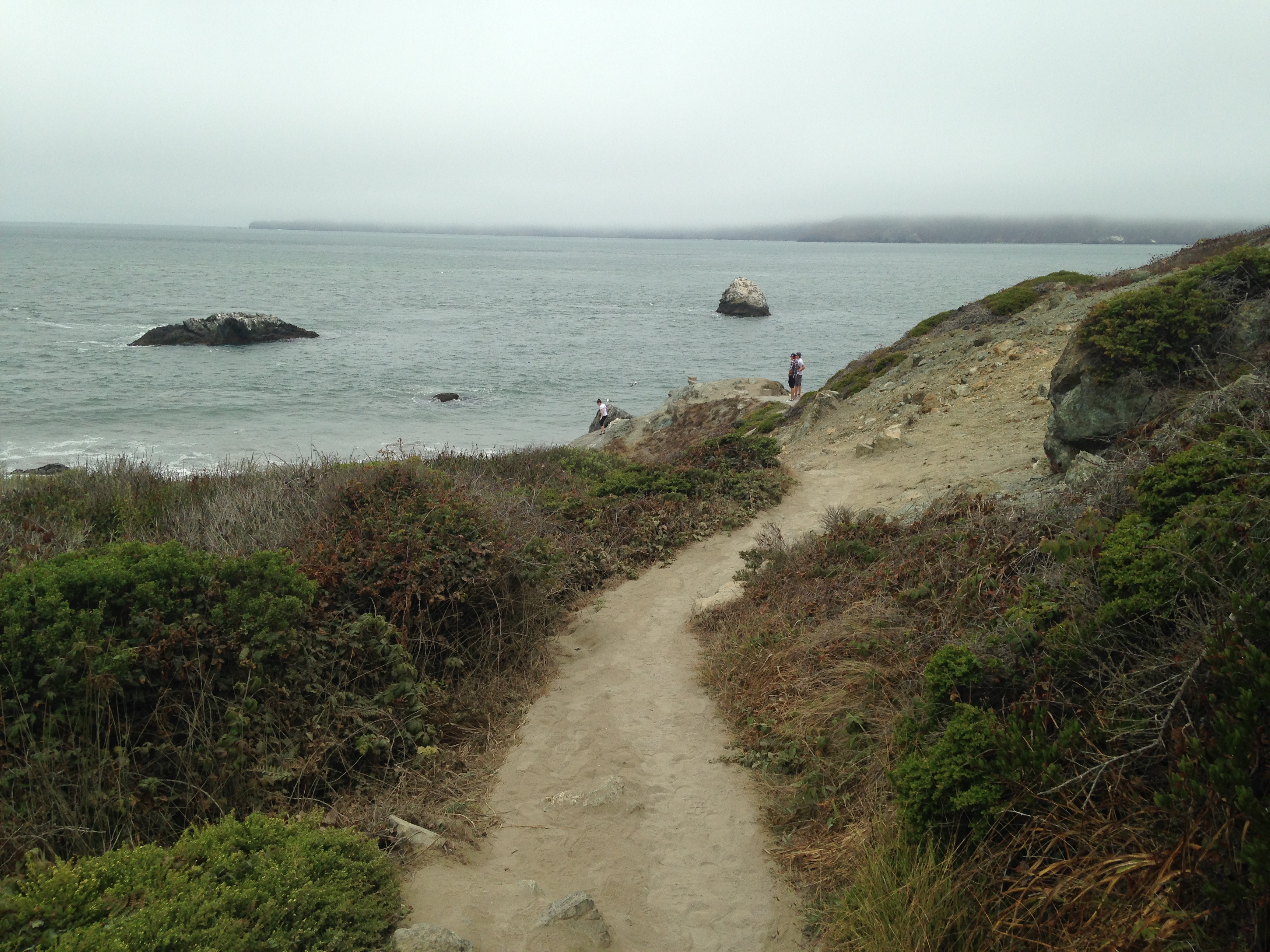
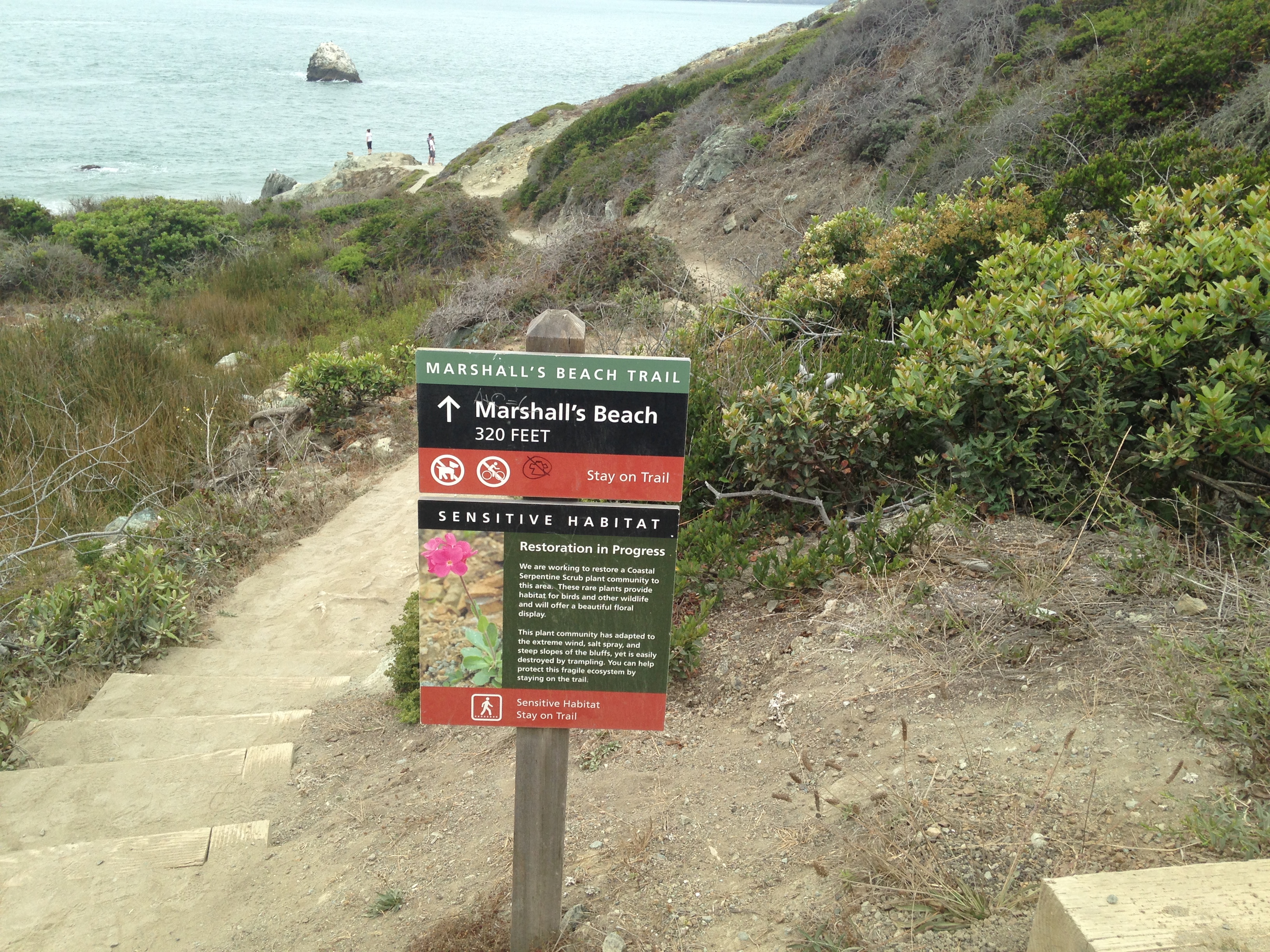
It was pretty foggy the day we went but still loved the views. batteries to bluffs 091 batteries to bluffs 092 batteries to bluffs 094   
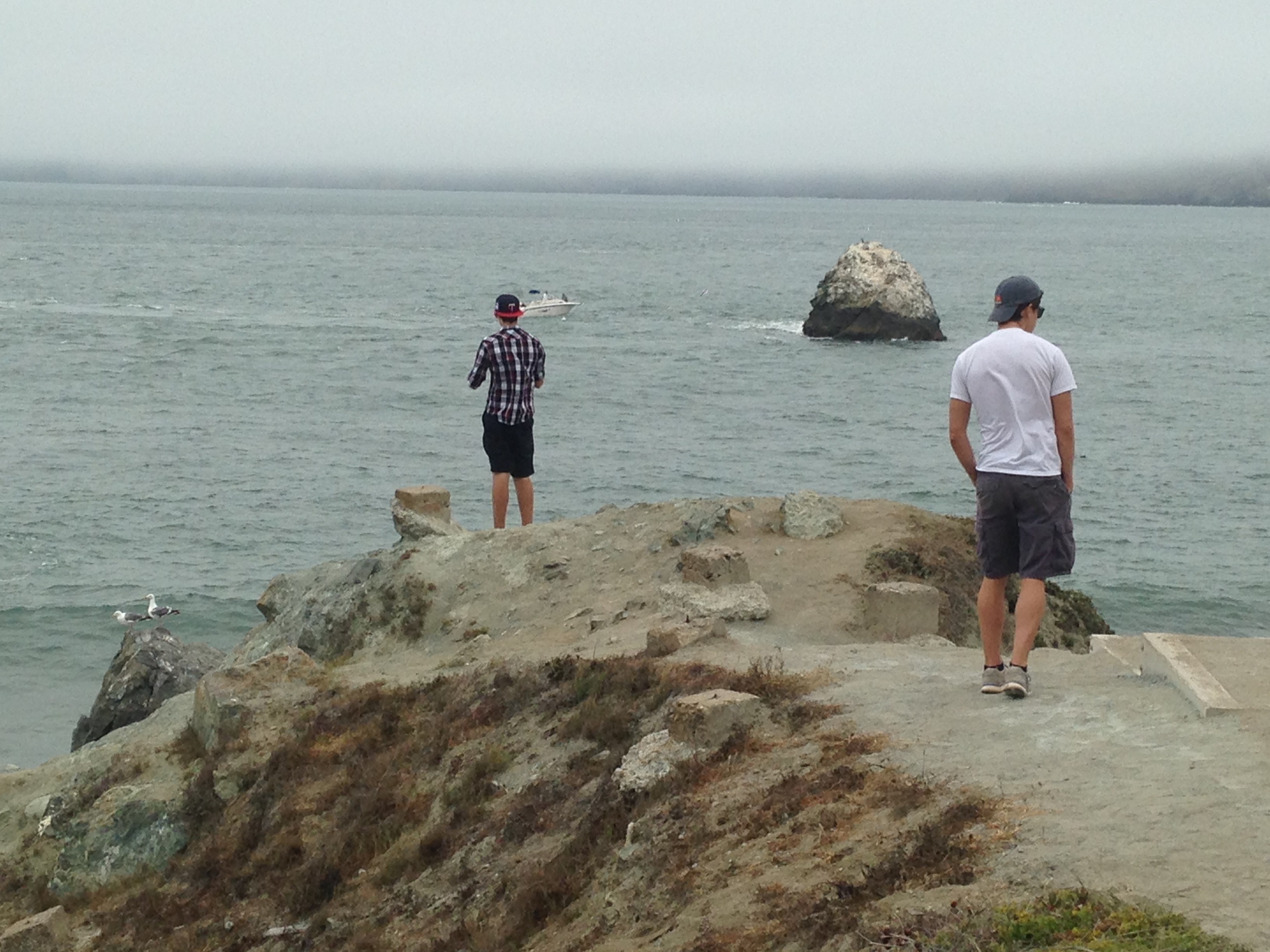
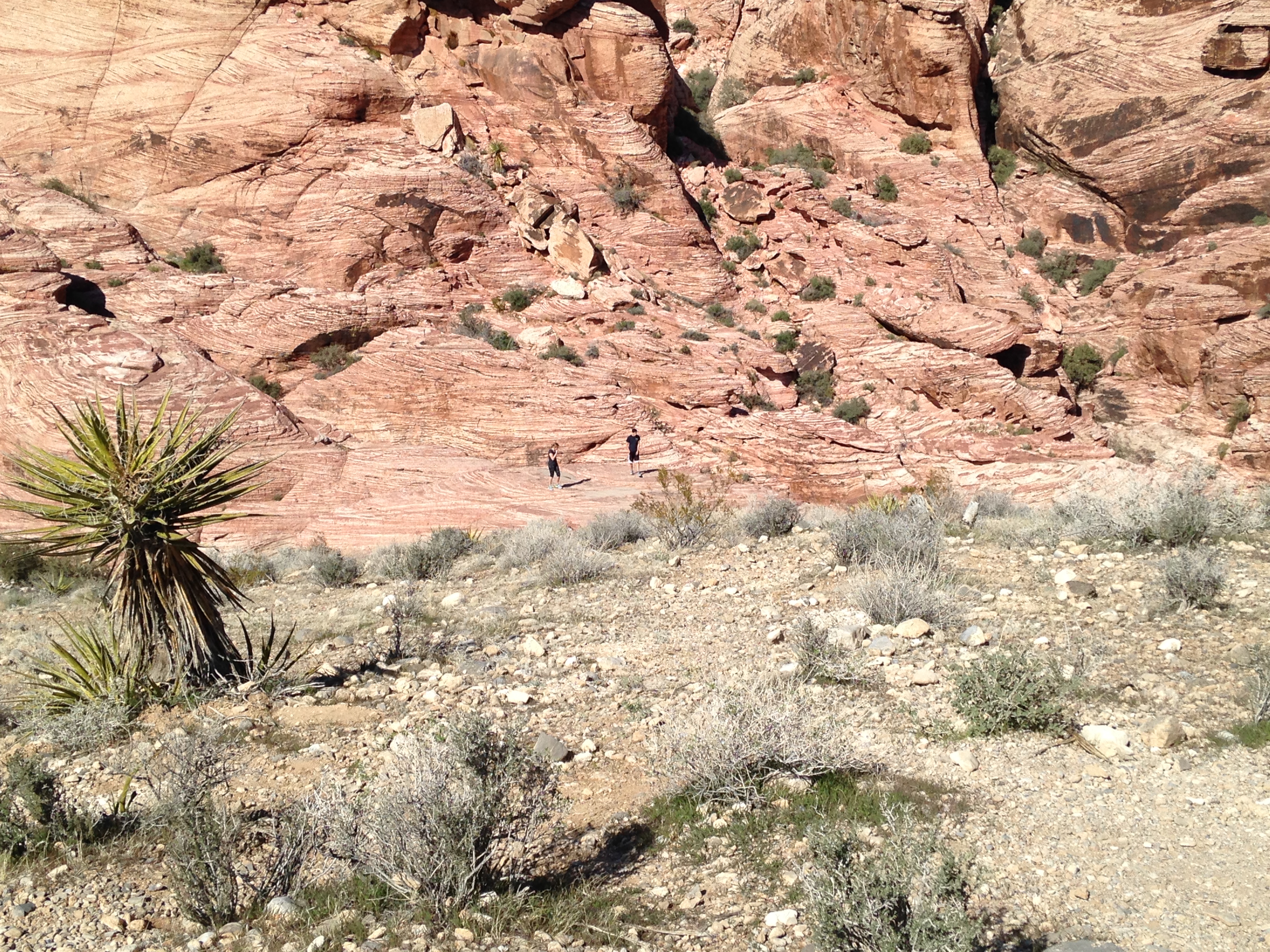
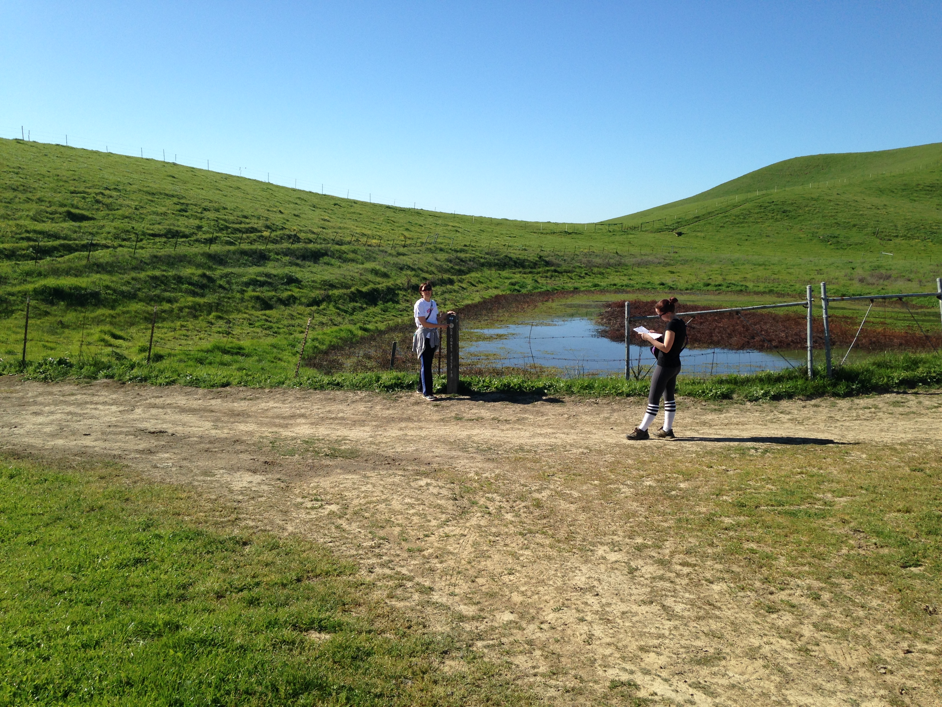
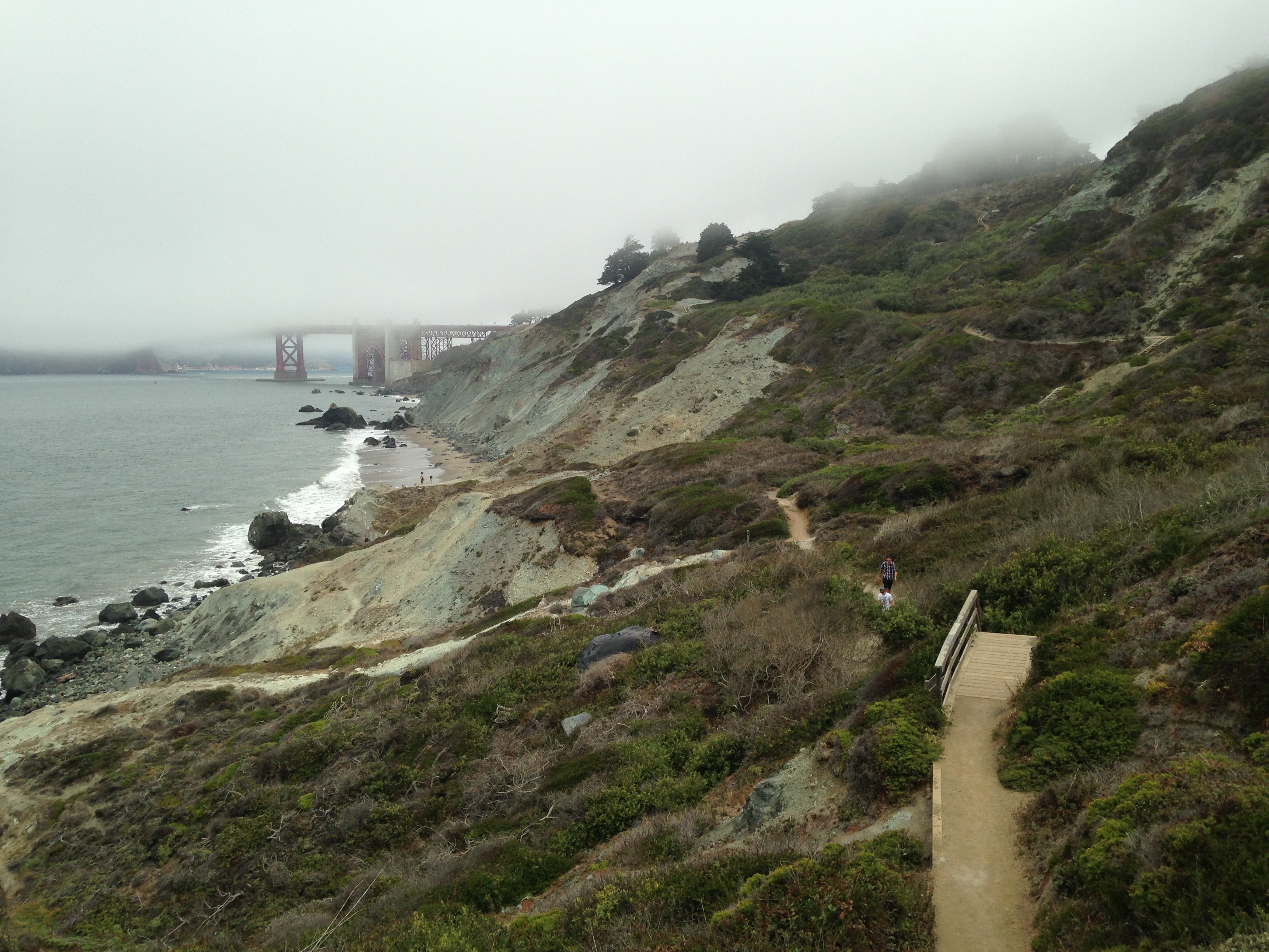
The beach area was pretty empty. I think we saw maybe five people.  You can go back the same way you came or continue on the trail up to the Presidio Coastal trail and make it a loop. batteries to bluffs 100 batteries to bluffs 104 batteries to bluffs 108 batteries to bluffs 112  
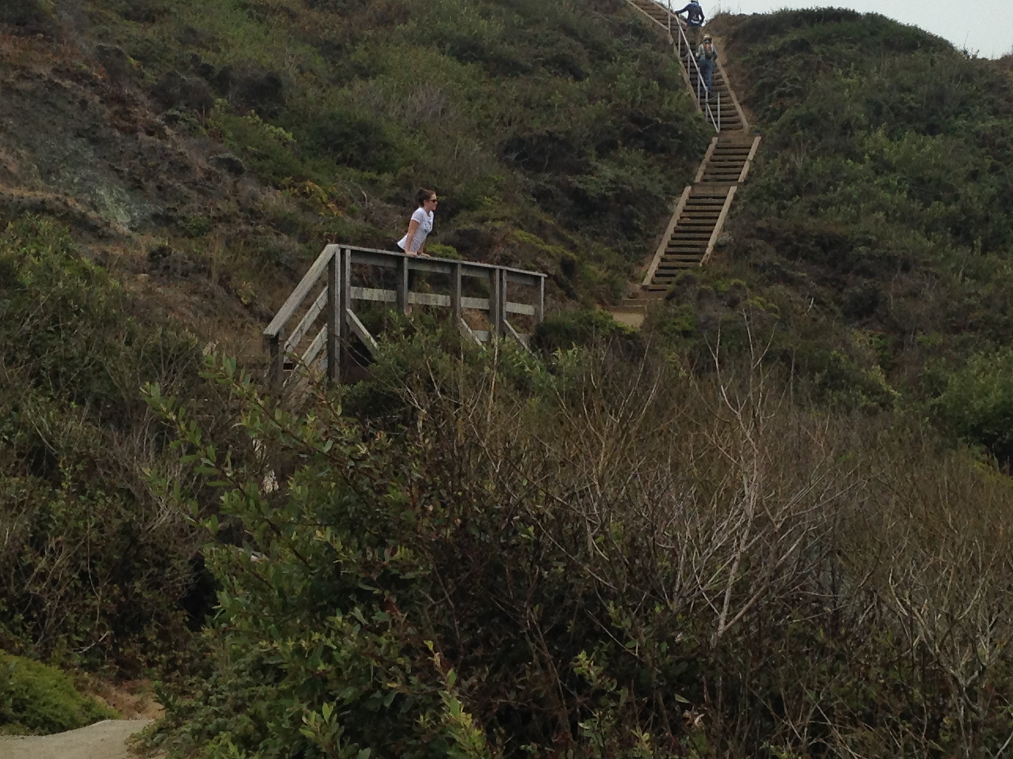
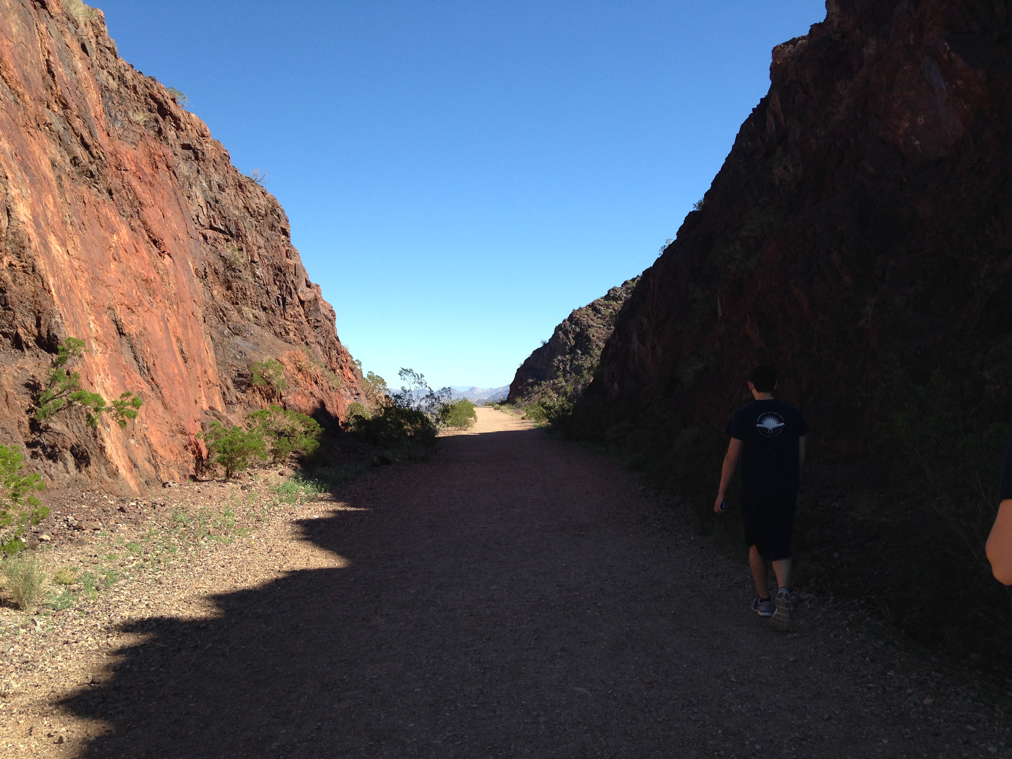
On the other side there is another old Battery. batteries to bluffs 116 batteries to bluffs 119 
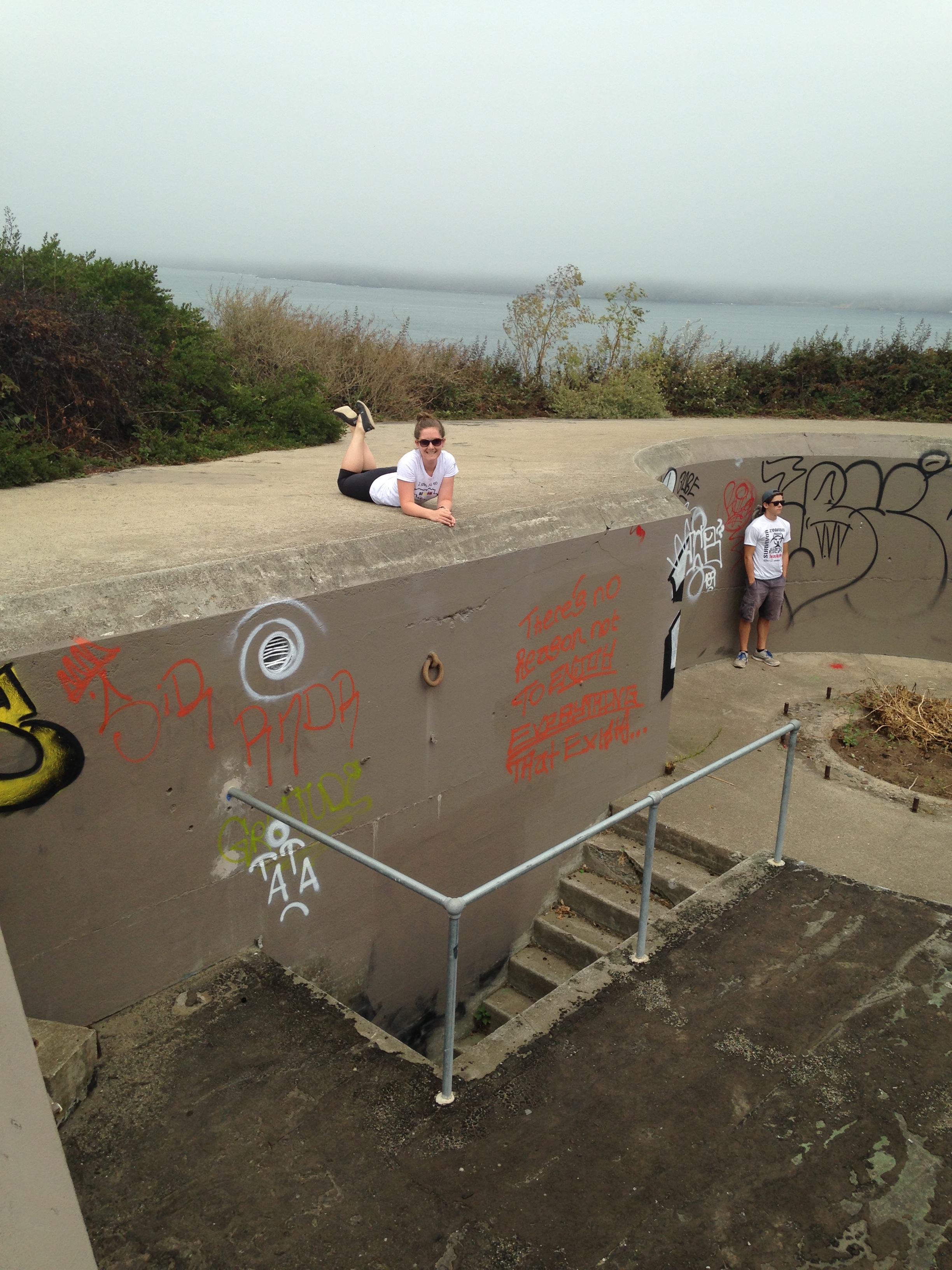
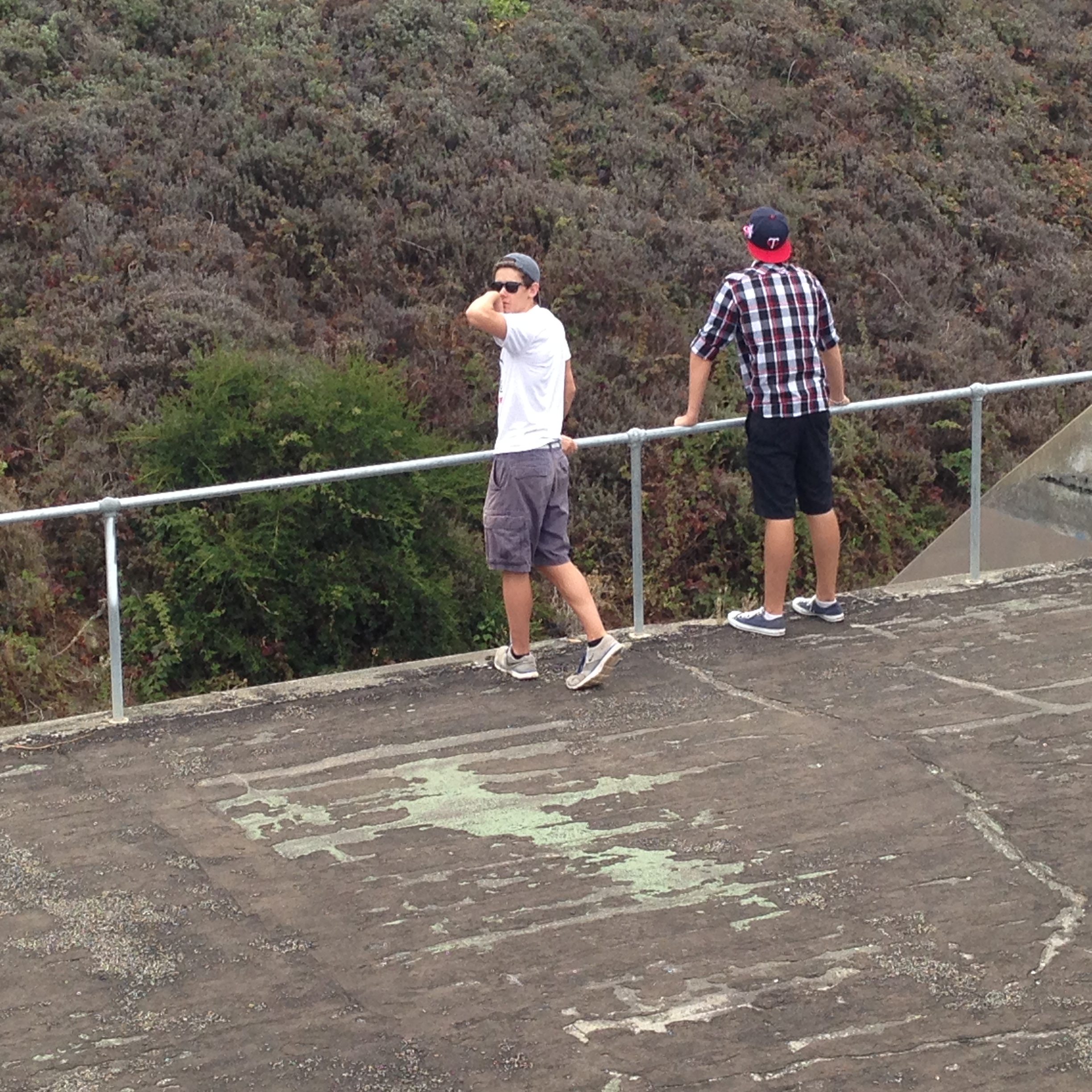
My kids loved climbing around these.  I can imagine younger ones having a blast.  Once at the top, you follow the trail along the road back to your car. batteries to bluffs 126 batteries to bluffs 127 batteries to bluffs 128 batteries to bluffs 129 
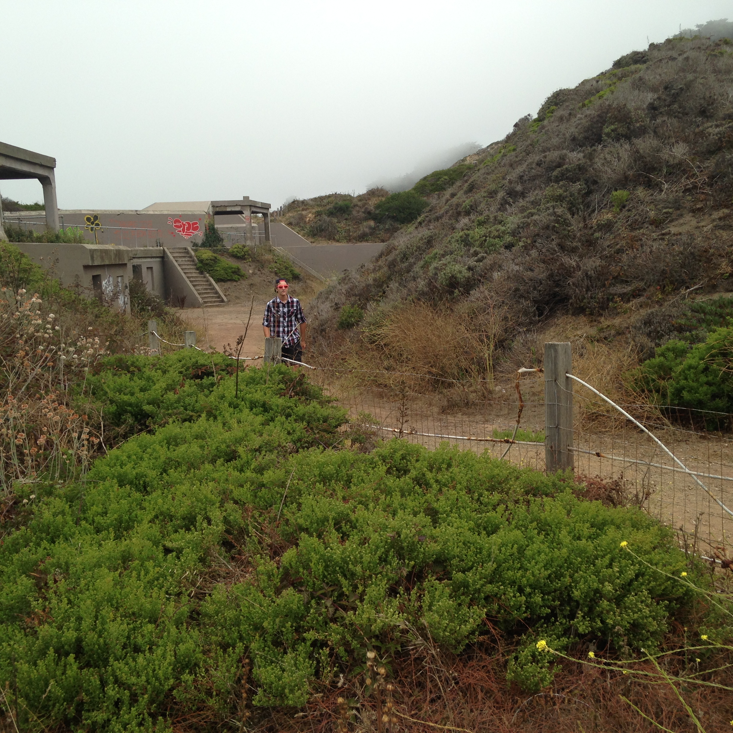
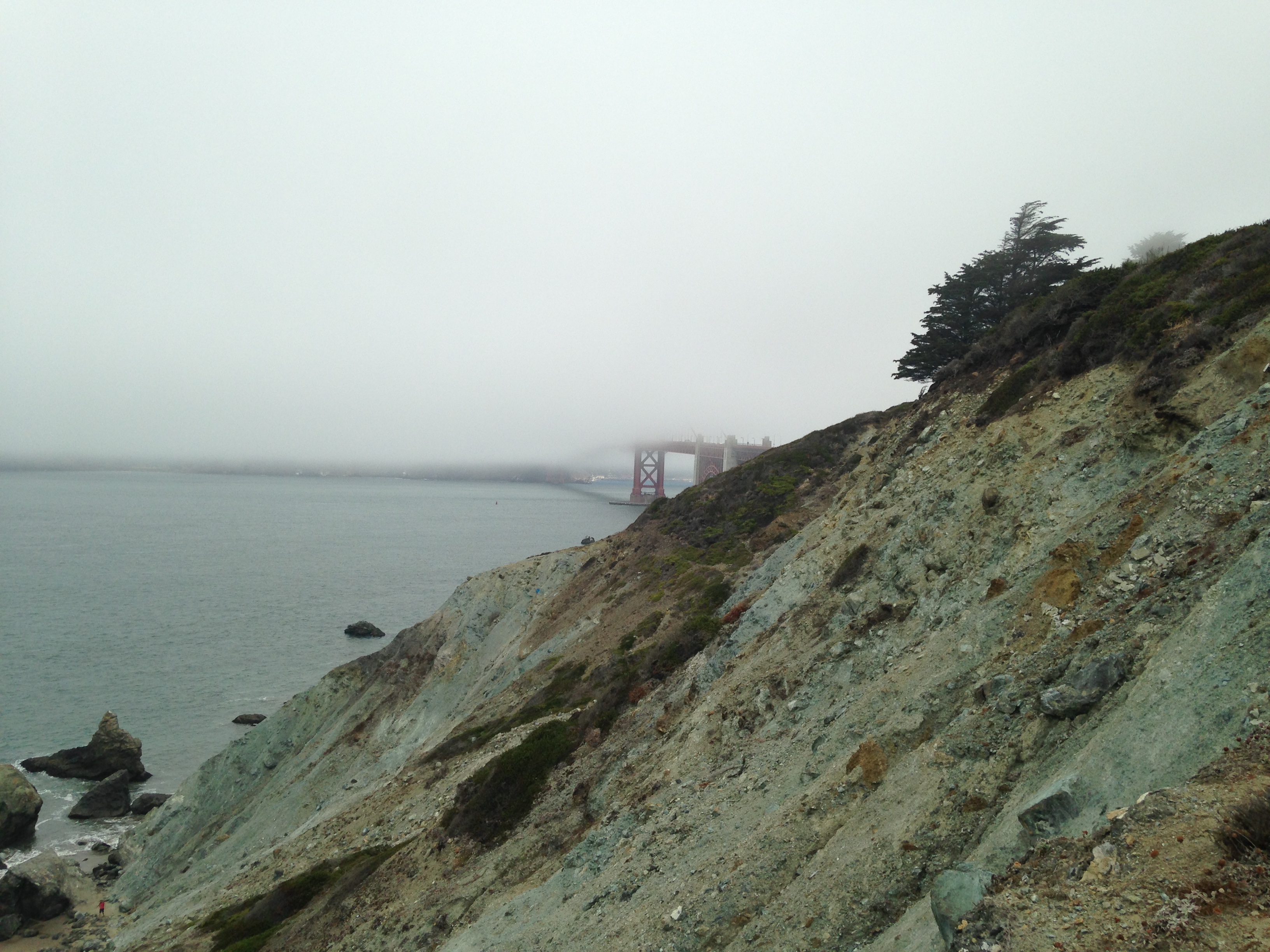
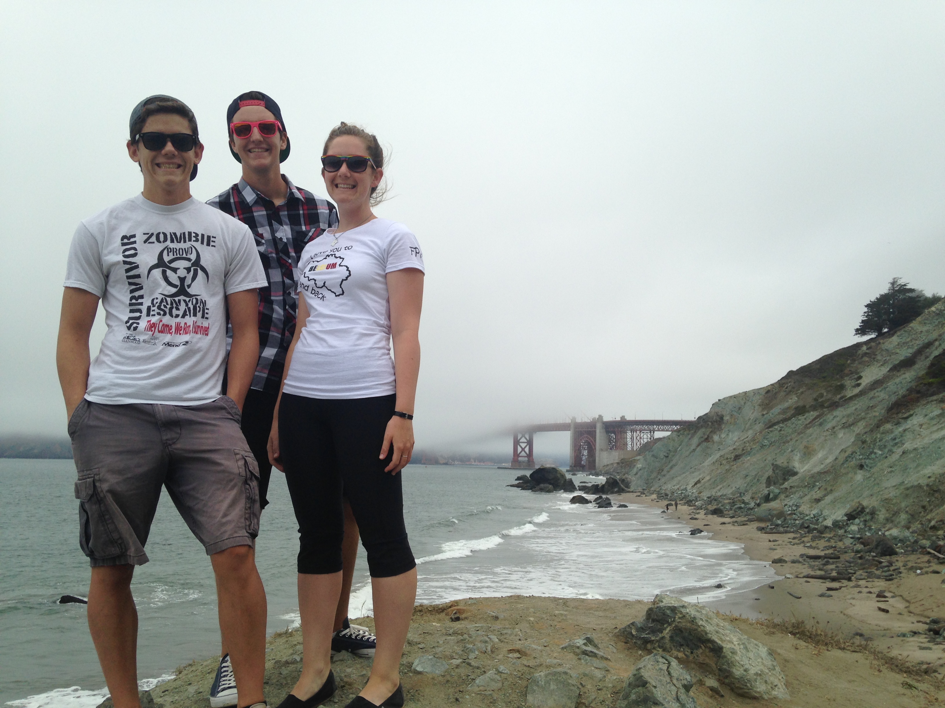
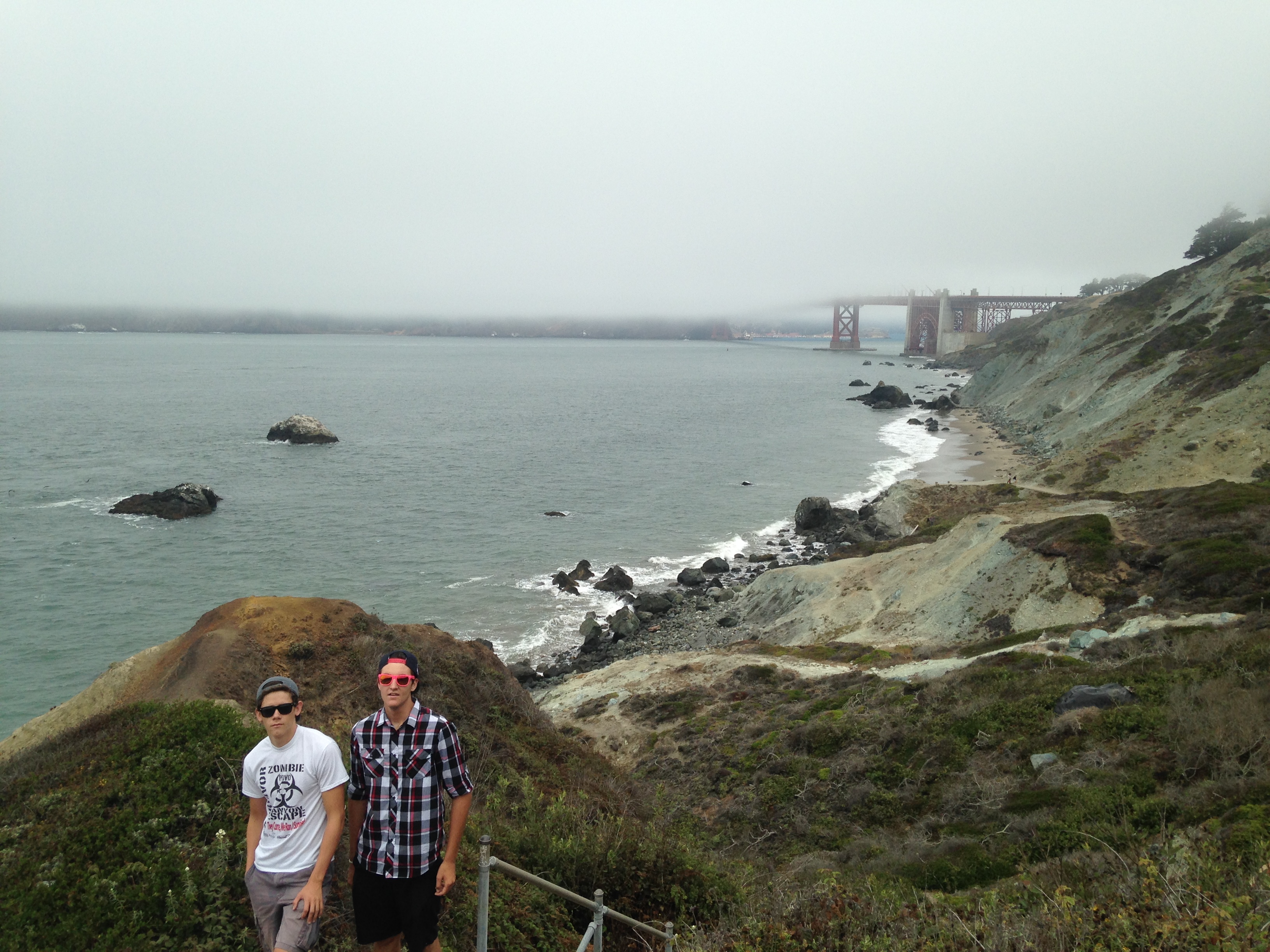
If you have more time you can hike over to the Golden Gate Bridge observation area.

batteries to bluffs 130

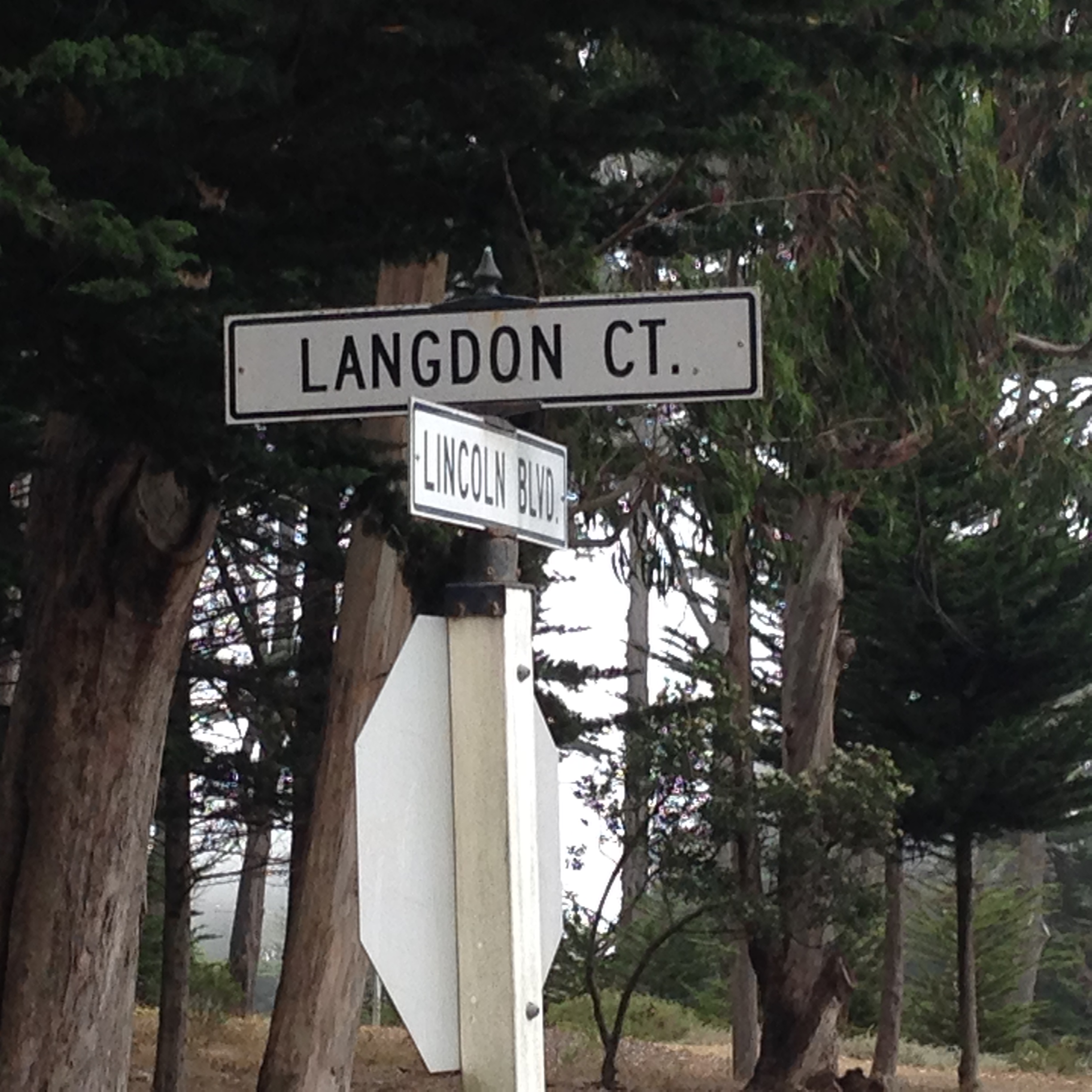
Here are the direction to Langdon Ct. where I parked. On HWY 101 take exit 439 from either direction. If you are coming from San Francisco this is the last exit before the toll. Once you exit you are going to take a Rt. toward the Presidio on Lincoln.  This will take you to Langdon Ct. which is where we parked.  It is free and their was lots of parking available.

Enjoy!

Three Lakes in One day

I wish I had more time to explore and enjoy the beauties of the mountains. It always seems like I don’t have enough time.  I recently discovered that in one day I can drive to the Sierras, hike and explore three different lakes and make it home around dinner time.

DSCF0046

I have the privilege of being in charge of approximately 100 girls and 40 adults at our church girls camp.  Each summer the girls go to Rucker Lake and spend the week backpacking, swimming, singing and spiritually growing.  The girls are grouped according to their age and then put into levels. This year I decided it was time to find a new hike for our 1st year girls.  The level leader and I chose a Saturday and headed up to the camp.  We left around 7am and drove to Rucker Lake.  It already rained that morning and was still pretty cloudy when we arrived.  It was very wet.  I had studied lots of maps of the area.  Most of the established hiking trails are already used by the other levels and I wanted something different.  I came up with a tentative plan.  I plotted a few way-points on my GPS.  The plan included hiking to Fuller Lake and then on to Spaulding Lake.  This area has a lot of private properties around the Lakes.  We needed to find a way to get from Rucker Lake to Fuller Lake without infringing on someones property.  There are plenty of signs letting you know when you are trespassing.  The original plan was changed right away after talking to man we met at the Lake.  We head in the opposite direction around the lake.  We had a map, a GPS and our phones with google maps.  What could go wrong? Right?

DSCF0050   We wanted to follow as close to the shoreline as we could but it was too wet.  Without a trail we were climbing over fallen trees, streams, and other obstacles.  We eventually made it to Fuller Lake.  It was not that long of a hike and we found a nice trail around it.  We also found a trail that started taking us in the right direction of Spaulding Lake.  This trail quickly vanished and we were once again searching for another trail.  While exploring and searching for a trail we came across this stunning view and small pond. DSCF0055   The GPS finally lead us to the trail that  we knew would take us to Spaulding Lake.  This was an easy, beautiful trail.  DSCF0053  Once arriving at Spaulding Lake we thought it would be a perfect spot for lunch.  cinderella ride, spaulding lake ect 021   It would have been but as soon as we sat down and had our food out, the rain began.  We decided to head back to the trail and find cover in the trees.  It didn’t rain too hard and fortunately we were prepared.  We tried to find a different path back to Fuller Lake but ended up turning around and trying to go back the way we came. DSCF0059   We made it back to Fuller Lake but somehow at this point we got completely turned around and ended up on the opposite side of Rucker Lake.  I have to admit that we did have to cross through a private property at one point but only for a brief time. I am so glad I had the GPS.  I’m still struggling to learn how to use it but it was still very helpful.  We were wet and tired but it was a great adventure. We didn’t find the perfect new hike but it is a beginning.  I hope to get back up there soon to try again and this time I hope it will be dry.

Vegas!

We took a trip to Las Vegas to watch the WCC Basketball Conference Tournament.  We had a blast! It was so fun and relaxing.  We spent most of our time watching basketball.  My husband was afraid I might get a bit restless.  It was four nights in the same hotel room.  Something we’ve never done before.  My daughter kindly suggested bringing a tent if that would help me feel better.  Surprisingly it was no problem.  We didn’t spend much time there.

vegas 008

It had been a long time since I’d been to Vegas, in fact I think I’ve really only driven through.  I didn’t know how many fun recreational activities are available there. When we weren’t watching basketball or trying new eating establishments we visited a few fun places.

vegas 054

We first went to Red Rock Canyon. This is a National Conservation Area.  I loved how it was set up.  You drive into the park and the first place you reach is the visitor center.

vegas 010                                             vegas 012                               vegas 009It was full of great information and the people working at the desks were so helpful.  There is a one way 13 mile drive that takes you through the whole park.  Along the drive their are lots of different trails you can take to explore the area.  I wish we would have had more time.  It is definitely a whole day adventure or more.  We were only there for 5 hrs.  It wasn’t enough.  We did two of the shorter hikes.  We stopped at the Calico II spot on the map and explored and hiked around for a while.  We were able to see one of the trails that takes you to the top of some of the Red Rocks.  We also saw climbers. We pulled over several times just to take in the views along the drive.  vegas 024      vegas 022    vegas 027 vegas 023           vegas 022           vegas 019         The next hike we took was on the Lost Creek trail.  We picked the right season to go because this trail has a waterfall if you time it right.  This trail was easy.  You are suppose to be able to see ancient pictographs but we couldn’t find them.   vegas 050      vegas 047       vegas 045      vegas 043     vegas 040 vegas 038        vegas 036        vegas 033This is a place I would love to revisit and do more exploring.

We didn’t have enough time to visit the Hoover Dam so we chose to go to the Lake Mead National Recreation Visitor Center.  We walked along the Historical Railroad Hiking Trail.  This was a very easy walk and had great views of the Lake.  Once again not enough time to see everything we wanted to.vegas 070     vegas 066 vegas 063      vegas 062   The hope is to return to Vegas again next year and plan a little better so we can fit in more outdoor adventures.

My true feelings about California

Today I explored a new regional park that is not too far from my house.  It took about 20 mins. to get there.  I have lived in this area for 22 years and I can’t believe I am still finding new places to explore.  Moving to California was hard for me.  I swore I would never like it.  Then I started realizing that if I had to live in California at least it was the Bay Area.  Now I can truly say this is home and I love it!  I never thought I could say that.  I think the first time I started having good feelings about California was my first trip to Yosemite.  Since then I have been able to explore and learn about so many beautiful places here in California.  I especially love the East Bay.  Mount Diablo is right in my backyard. There are so many great hiking, biking and running trails all around me.  It takes about an hour and I’m at the beach.  I can be in Tahoe in 2.5 hours.  Yosemite is approx. 4 hours.  What could be better?

Ok, now lets talk about Briones Regional Park.  Today was my first trip here.  I cannot believe I haven’t hiked here before.  It is gorgeous.   I will definitely be back to explore more trails and learn my way around.  I always come prepared with a map of the area and a general idea of what trails I plan on taking.  Like many times before things didn’t go exactly as planned.  After researching the area, I decided to park at the Alhambra Creek Staging area.  The best way to find this parking area is to use the address 298 Brookwood Dr., Martinez, CA.   I had two friends with me today.  We entered the park and took the Orchard Trail.

.3.05.15 006  As we followed this trail we came to a fork in the road.

3.05.15 007 We took the trail to the right. This is still the Orchard Trail but it is not marked well.  As we hiked along this trail we encountered a man waving a white flag in a grassy area.  When I asked him what he was doing he replied, “collecting ticks from this area to study”.  Interesting.  I was glad to have on long pants.  The trail is nice and wide so there really wasn’t any worry about ticks.  There is a gentle climb and as you get to the top you come to a gate and a road.3.05.15 008   3.05.15 009

The trail continues on the other side of the road and through a gate.  So far the trail has been very easy.  You will soon arrive at a split in the trail.  We took the Tonyon Canyon Trail.

3.05.15 012     3.05.15 013    3.05.15 014  It is the trail on the right.  Not long after being on the Tonyon Canyon Trail we started climbing.  The climbing seemed easier because it was such a peaceful, beautiful trail.   3.05.15 015     3.05.15 016     3.05.15 017

We climbed for about a mile.  Near the top of the climb we passed a small pond.    3.05.15 025     3.05.15 027     3.05.15 028  The views at the top were amazing.      3.05.15 032   3.05.15 034  This picture show Mount Diablo in the background.  We stayed to the left on the trail and came to another pond.  3.05.15 035  At some point Tonyon Canyon Trail changes to Lagoon Trail.  This was a bit confusing because we couldn’t see this on our map.  We followed Lagoon trail to the left.  It is hard to see it but this trail ends.  3.05.15 036 This is where we made the wrong turn.  My map wasn’t clear. We could go left and take Briones Road or right which took us on the Briones Crest Trail.  We took the Crest Trail.      3.05.15 038  From this point on we tried to find the trails we were supposed to be hiking.  We ended up on the Table Top Trail.  At the top you find a bench and more views.  The path is not marked but we took the trail to the left.  After hiking for about another 15 minutes we came across the Spengler Trail.  This was part of the original plan so we thought we had found our way back.  We were wrong but the trail was still very enjoyable.  3.05.15 045     3.05.15 046     We came up close and personal with some cows.   3.05.15 051     3.05.15 052   This is the point we realized we really didn’t know where we were.  I just purchased a garmin etrex 20 and this was it’s maiden voyage.  I’m not quite sure how to use it completely but it was very uselful in helping us navigate our way back to the car.  I found an old fire road that we took until we spotted a marked trail.  We ended up on the Diablo View trail which took us back to our car.  We did get lost but it really was worth it.  The trip ended up being 7.72 miles,  2316 ft. elevation and took us 3.5 hrs.  I loved it!  I cannot wait to go back and actually figure out what the original route is like.

Group Hike with Family and Friends

Today I invited a group of friends to join me on a hike to the waterfalls on Mount Diablo.  It was a perfect day to do it.  It rained hard last week but has since been sunny leaving the trail dry but lots of water for the falls.  We started the hike at the end of Regency Dr. in Clayton.  You want to follow the trail through the gates to Mount Diablo park.  You will see a large map posted.  The trail will immediately split with one going up and to the right but make sure you stay on the trail that is flat and straight ahead.  This trail is called thewaterfall hike 001 Cardinet Oaks Road.  Continue to follow this trail.  You will see a lot of other trails break off of this main road but stay on this road.waterfall hike 003 The first part of this trail is very easy but it does have a steep hill after about a mile.  Once you have climbed a bit the trail will level off and you will reach an intersection. You want to take Boundary Park to the left. Here are some pictures from this point.waterfall hike 004  waterfall hike 005  This trail is going to take you to a creek crossing.  After crossing the creek you will begin to climb.  The next trail you need to take is the Middle Trail.   Here are some pictures of the spot where the turn off is.  It can be hard to find.waterfall hike 008  waterfall hike 006 waterfall hike 007 waterfall hike 009

After coming around this curve you will find the trail post on the right.  Up to this point you have been on a wide trail but this Middle trail is much smaller. It is less groomed and you need to watch your footing.  You will come to a point where the trail splits. Follow the post that says “trail” and points up.  You can follow the other trail down where you will have a great view of one of the falls but you need to go back to the trail to continue on. waterfall hike 010 You can barely see the falls at the bottom of this pictures.

Continue on until you reach the waterfall and creek crossing.waterfall hike 013 waterfall hike 014  Keep going.  You will hit some more small falls just a few yards away.  waterfall hike 015 Sorry for the finger in the photo.  You are now on what I consider to be the most beautiful part of the hike.  The trail will take you to a great look out point.  Be sure to stop and take some pictures. waterfall hike 017 waterfall hike 018 waterfall hike 019 waterfall hike 020  After the look out point there  is a steep downhill slide that ends at another creek crossing.waterfall hike 021   Enjoy this trail on the way down.  You will be following the creek so there are lots of small falls to see and hear.  The trail will end and you want to go right on Donner Canyon Road. waterfall hike 022 You will then take a left back on Cardinet Oaks Road.  The same one you came in on.

We had people of all ages on this hike.  The youngest one was 7. (not including the baby in the carrier)  They all made it with no problem.  The hike was about 6 miles and took approx. 3hrs.  The best time to do this trail is after there has been rain.  The draw back is you don’t want to go when it is still really muddy.  It was such a fun day! Let me know if you’ve done this hike before and what your thoughts are.