Today I explored a new regional park that is not too far from my house. It took about 20 mins. to get there. I have lived in this area for 22 years and I can’t believe I am still finding new places to explore. Moving to California was hard for me. I swore I would never like it. Then I started realizing that if I had to live in California at least it was the Bay Area. Now I can truly say this is home and I love it! I never thought I could say that. I think the first time I started having good feelings about California was my first trip to Yosemite. Since then I have been able to explore and learn about so many beautiful places here in California. I especially love the East Bay. Mount Diablo is right in my backyard. There are so many great hiking, biking and running trails all around me. It takes about an hour and I’m at the beach. I can be in Tahoe in 2.5 hours. Yosemite is approx. 4 hours. What could be better?
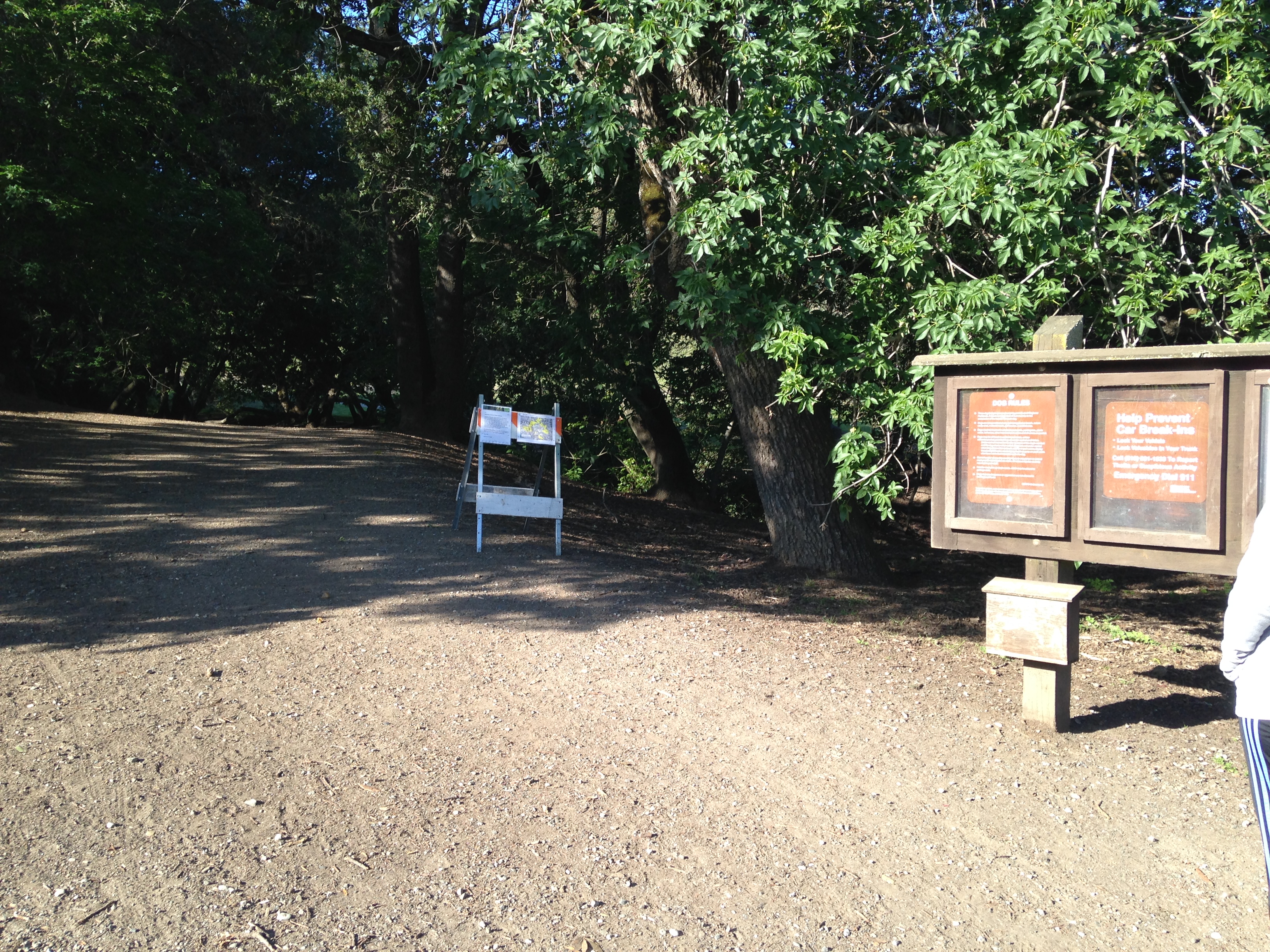
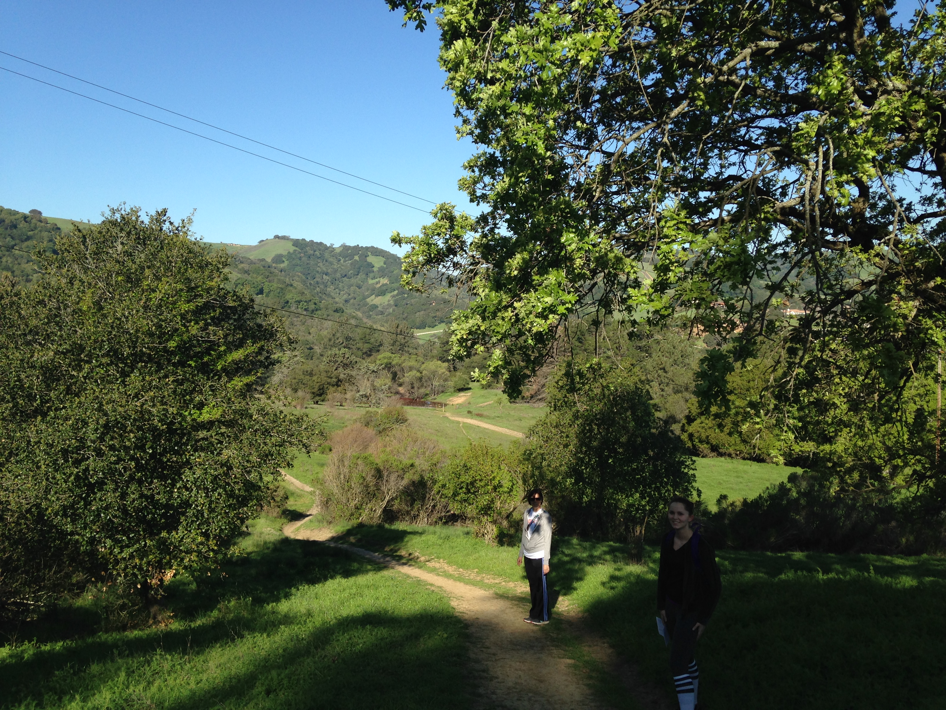
Ok, now lets talk about Briones Regional Park. Today was my first trip here. I cannot believe I haven’t hiked here before. It is gorgeous. I will definitely be back to explore more trails and learn my way around. I always come prepared with a map of the area and a general idea of what trails I plan on taking. Like many times before things didn’t go exactly as planned. After researching the area, I decided to park at the Alhambra Creek Staging area. The best way to find this parking area is to use the address 298 Brookwood Dr., Martinez, CA. I had two friends with me today. We entered the park and took the Orchard Trail.
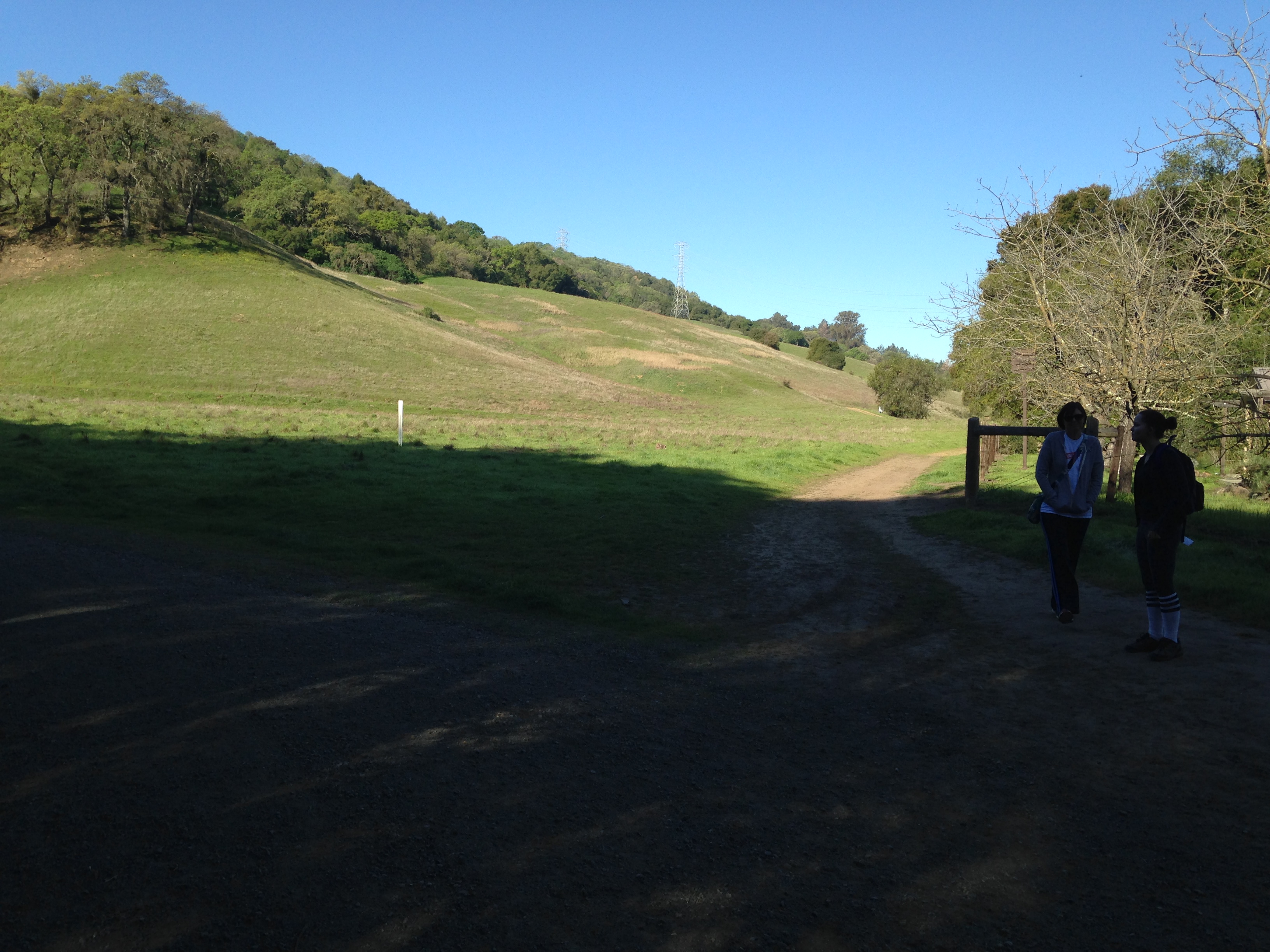
. As we followed this trail we came to a fork in the road.
 We took the trail to the right. This is still the Orchard Trail but it is not marked well. As we hiked along this trail we encountered a man waving a white flag in a grassy area. When I asked him what he was doing he replied, “collecting ticks from this area to study”. Interesting. I was glad to have on long pants. The trail is nice and wide so there really wasn’t any worry about ticks. There is a gentle climb and as you get to the top you come to a gate and a road.
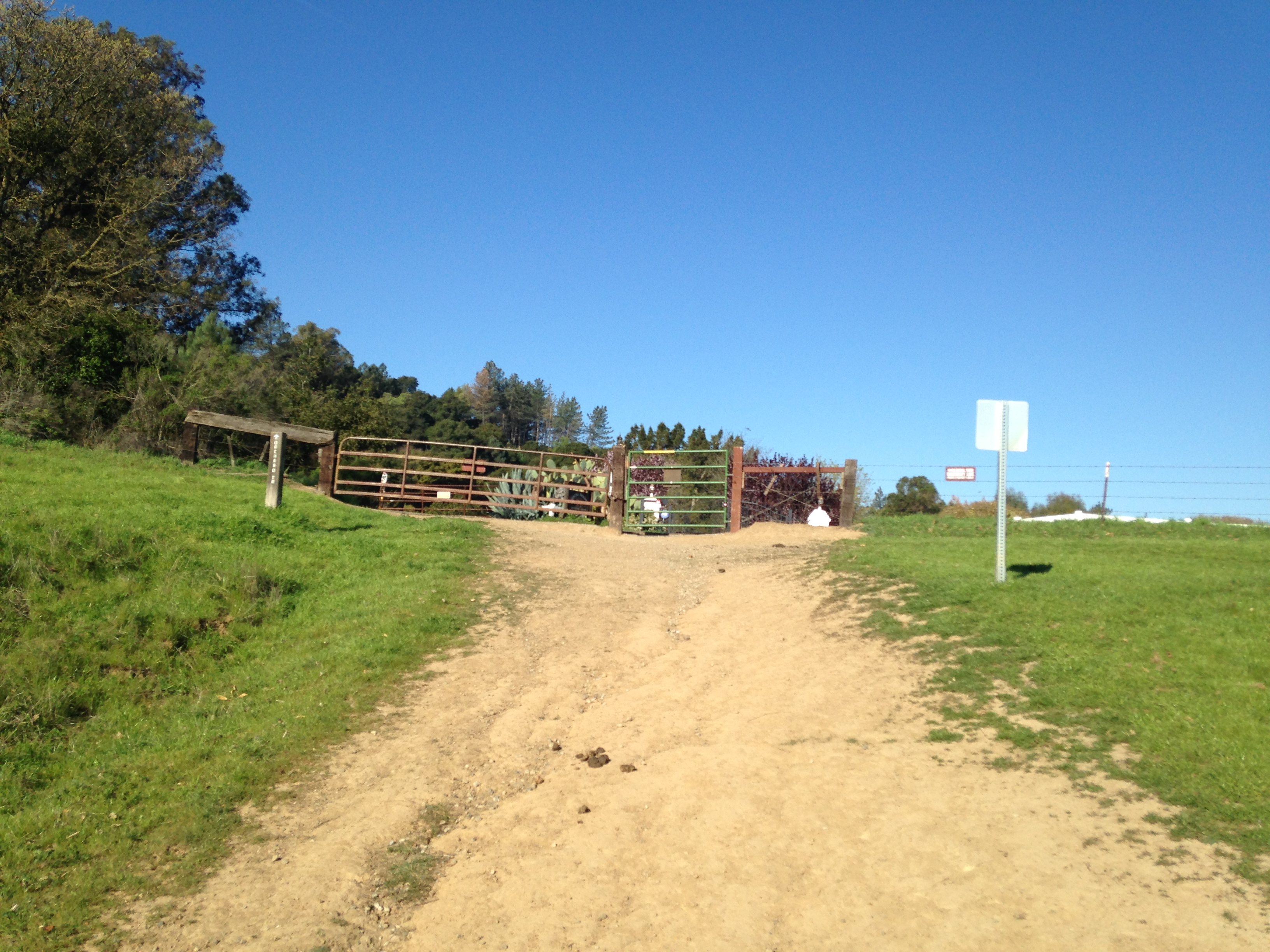
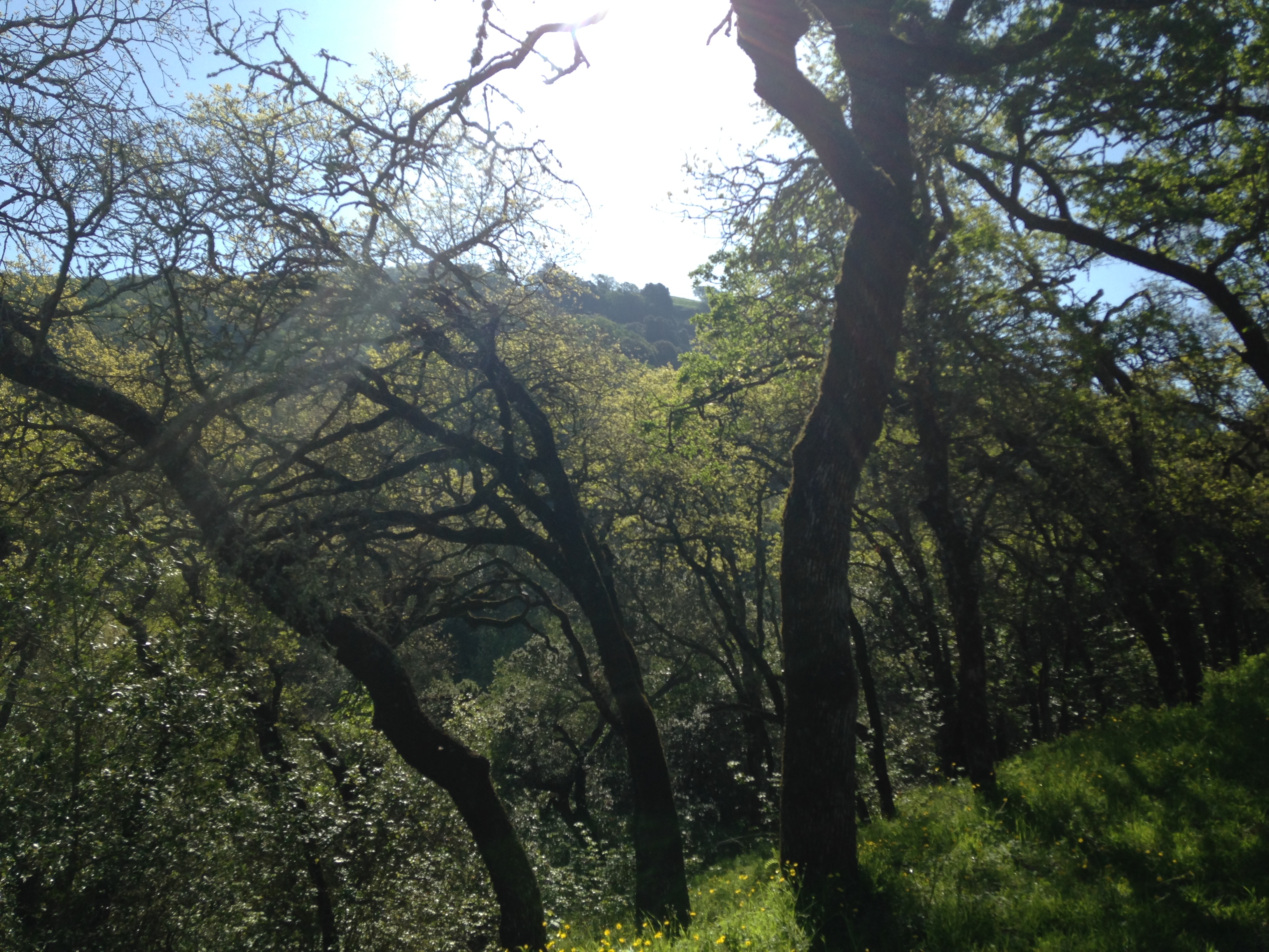
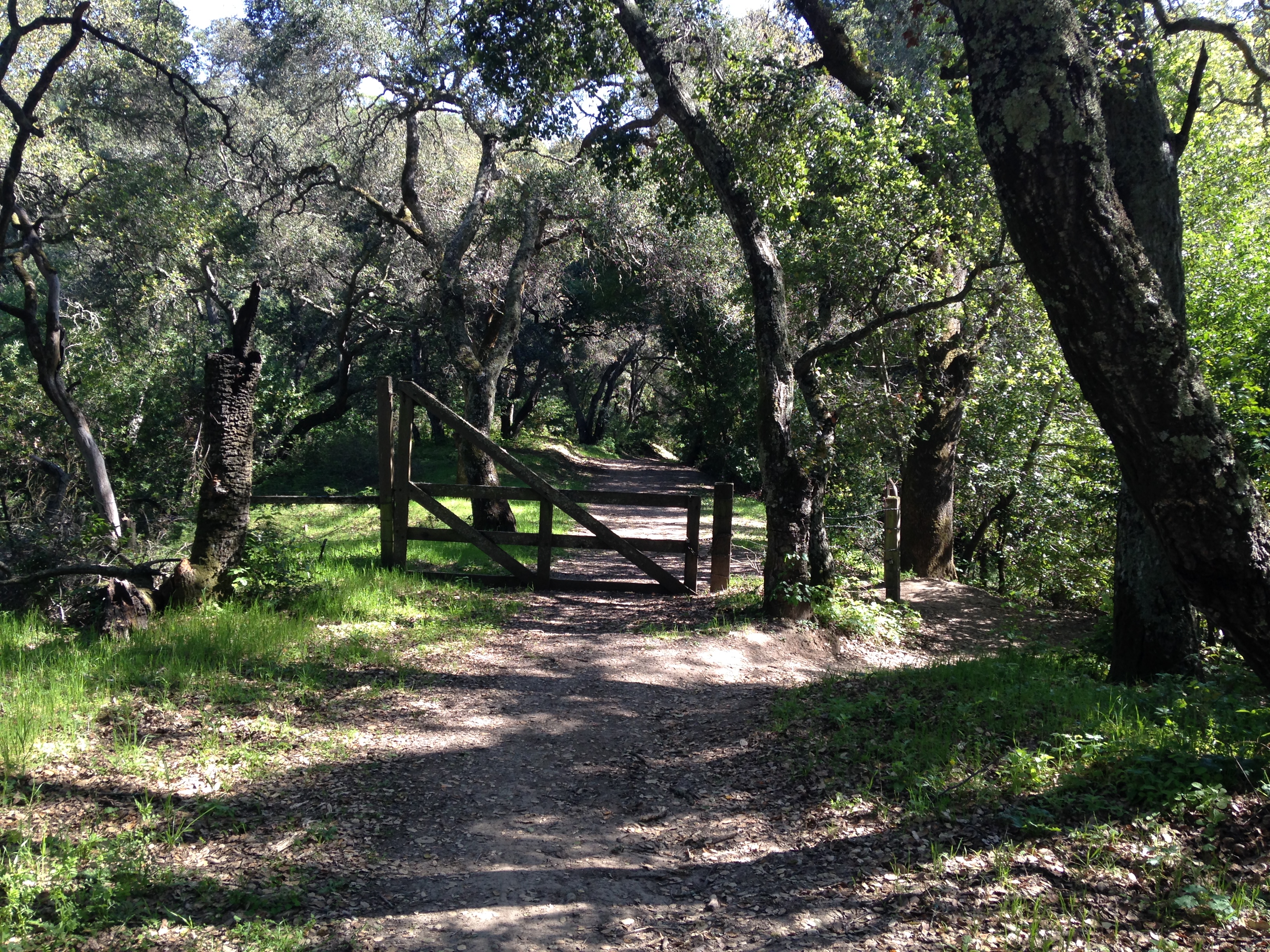
The trail continues on the other side of the road and through a gate. So far the trail has been very easy. You will soon arrive at a split in the trail. We took the Tonyon Canyon Trail.
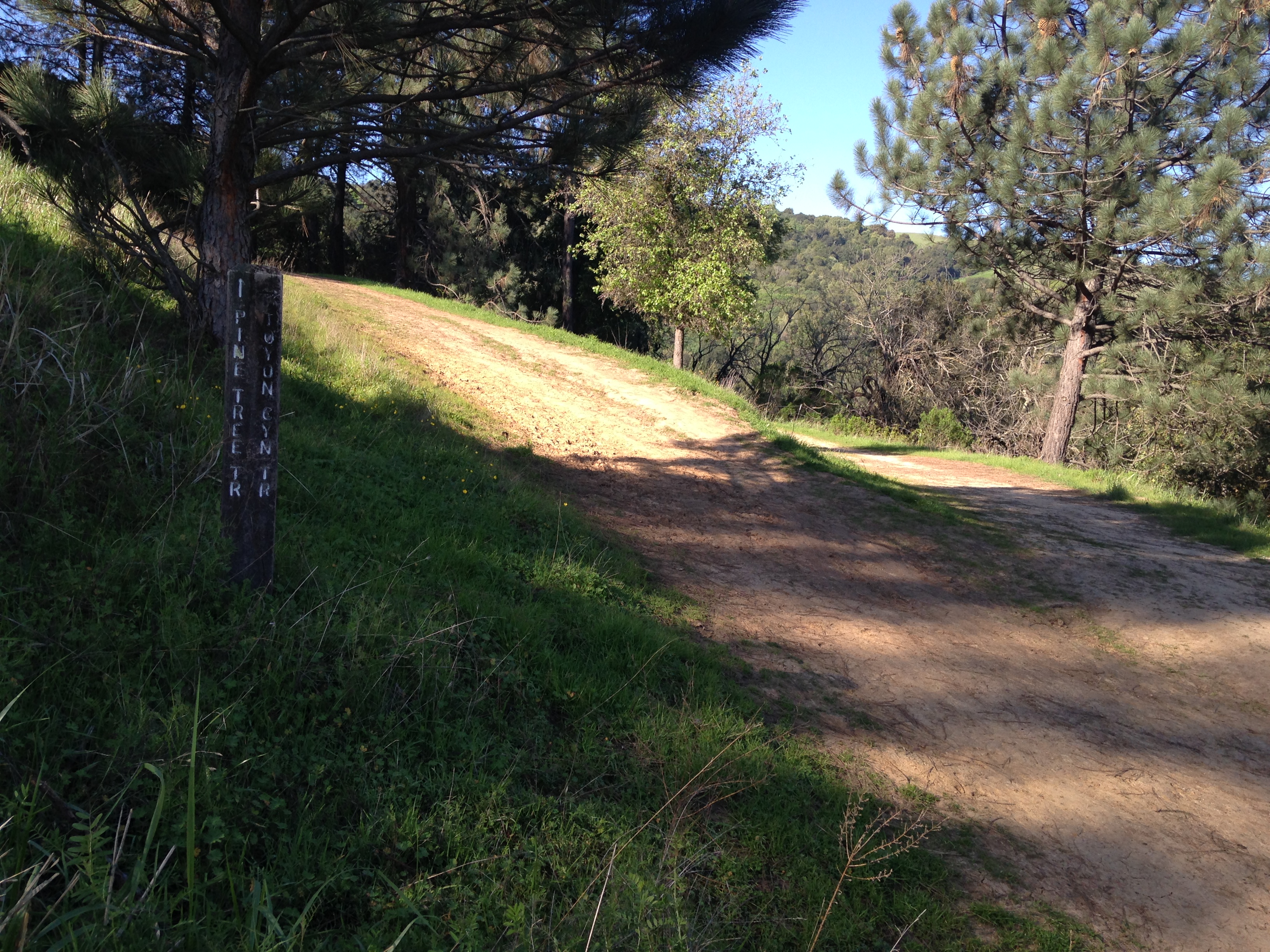
 It is the trail on the right. Not long after being on the Tonyon Canyon Trail we started climbing. The climbing seemed easier because it was such a peaceful, beautiful trail.
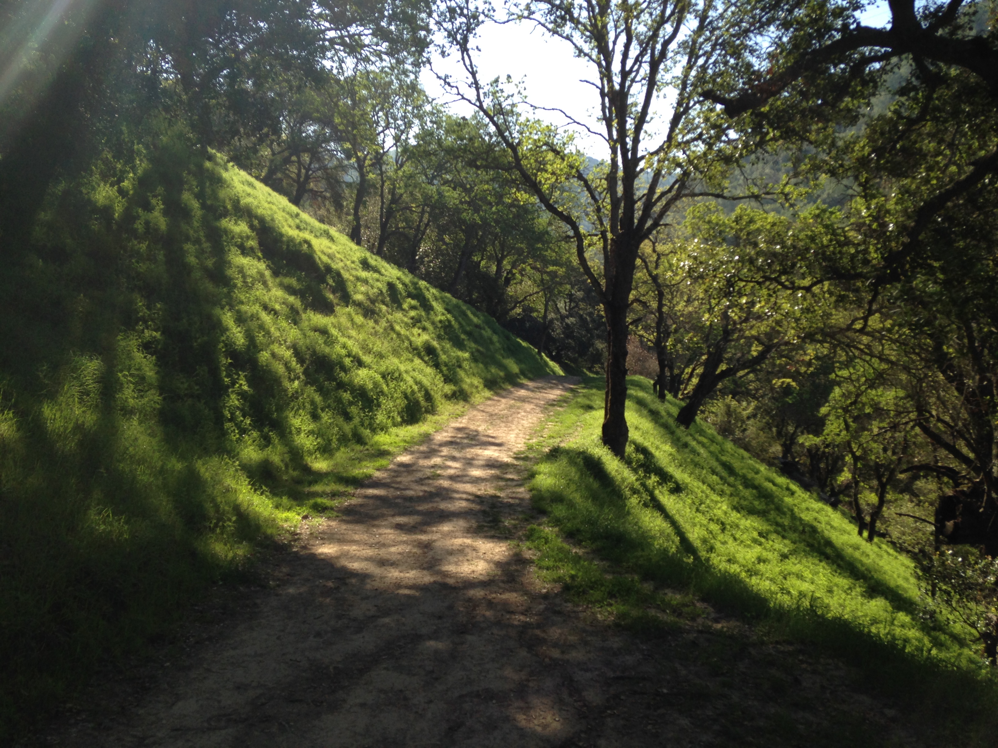
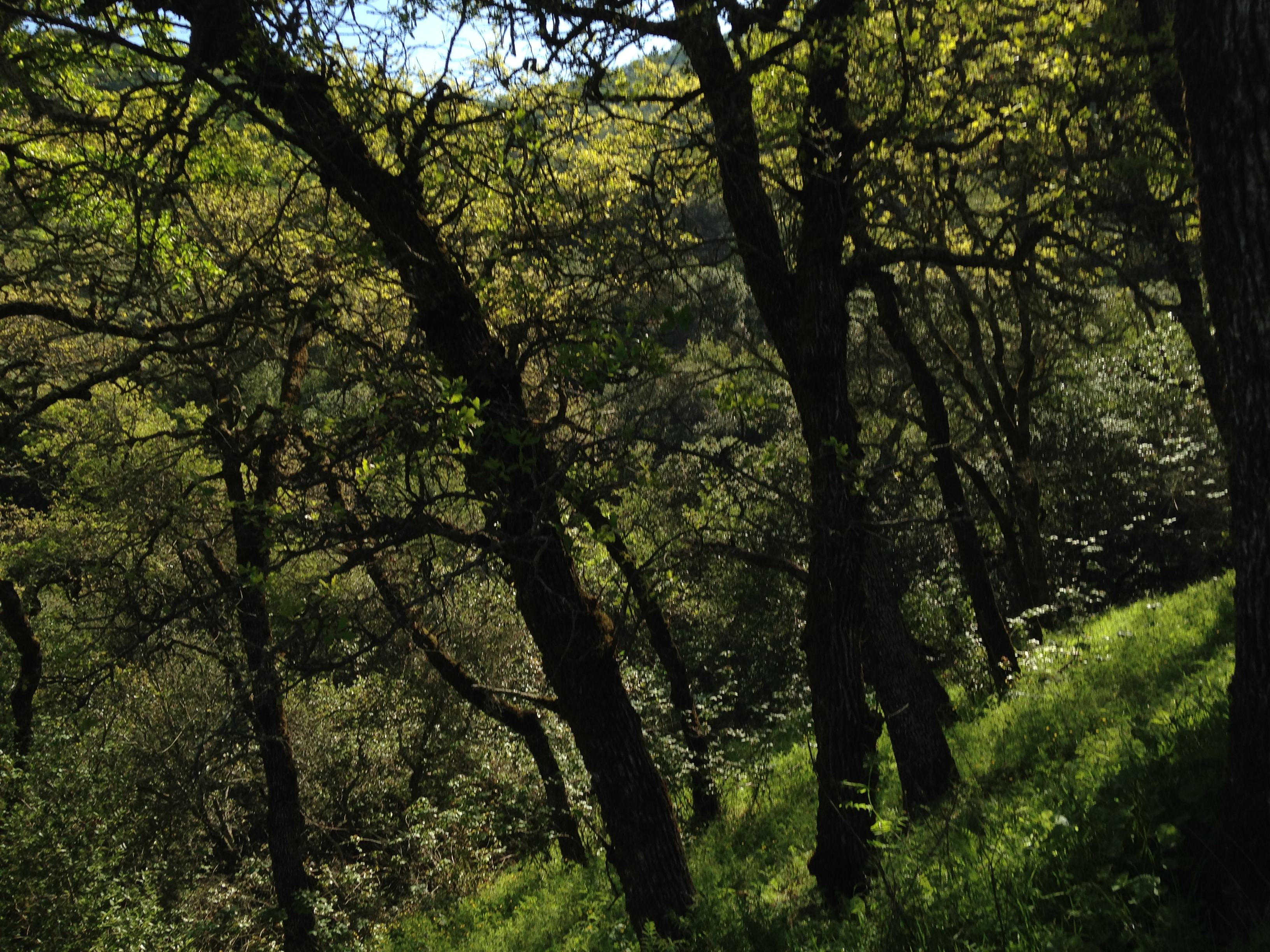
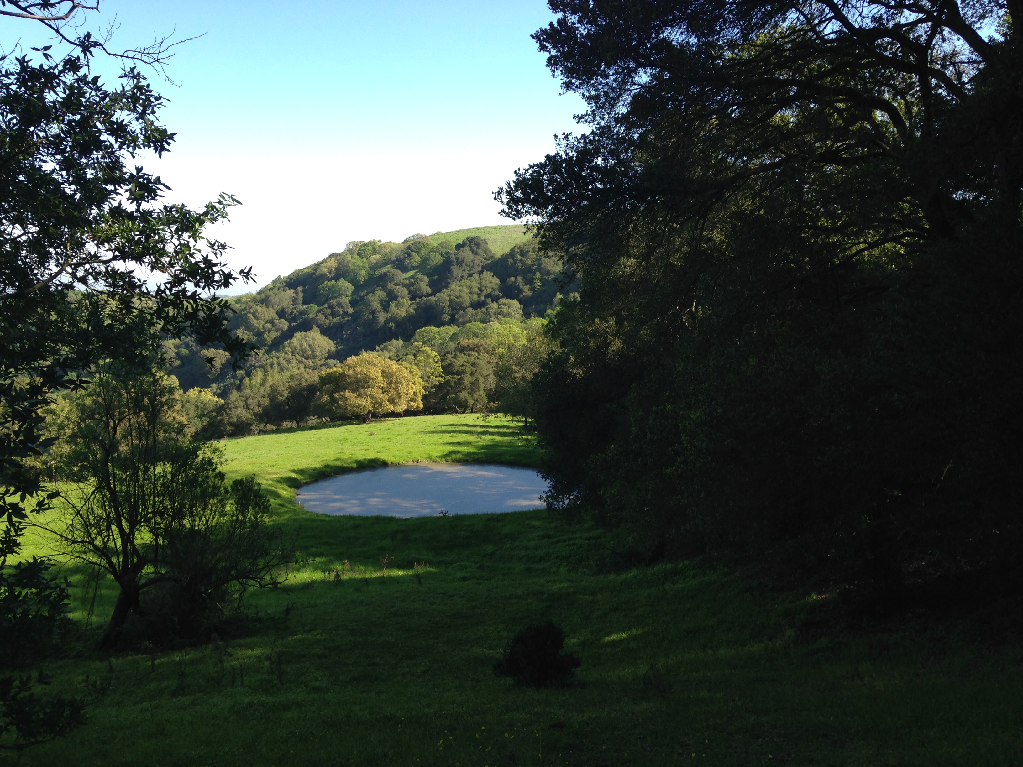
We climbed for about a mile. Near the top of the climb we passed a small pond. 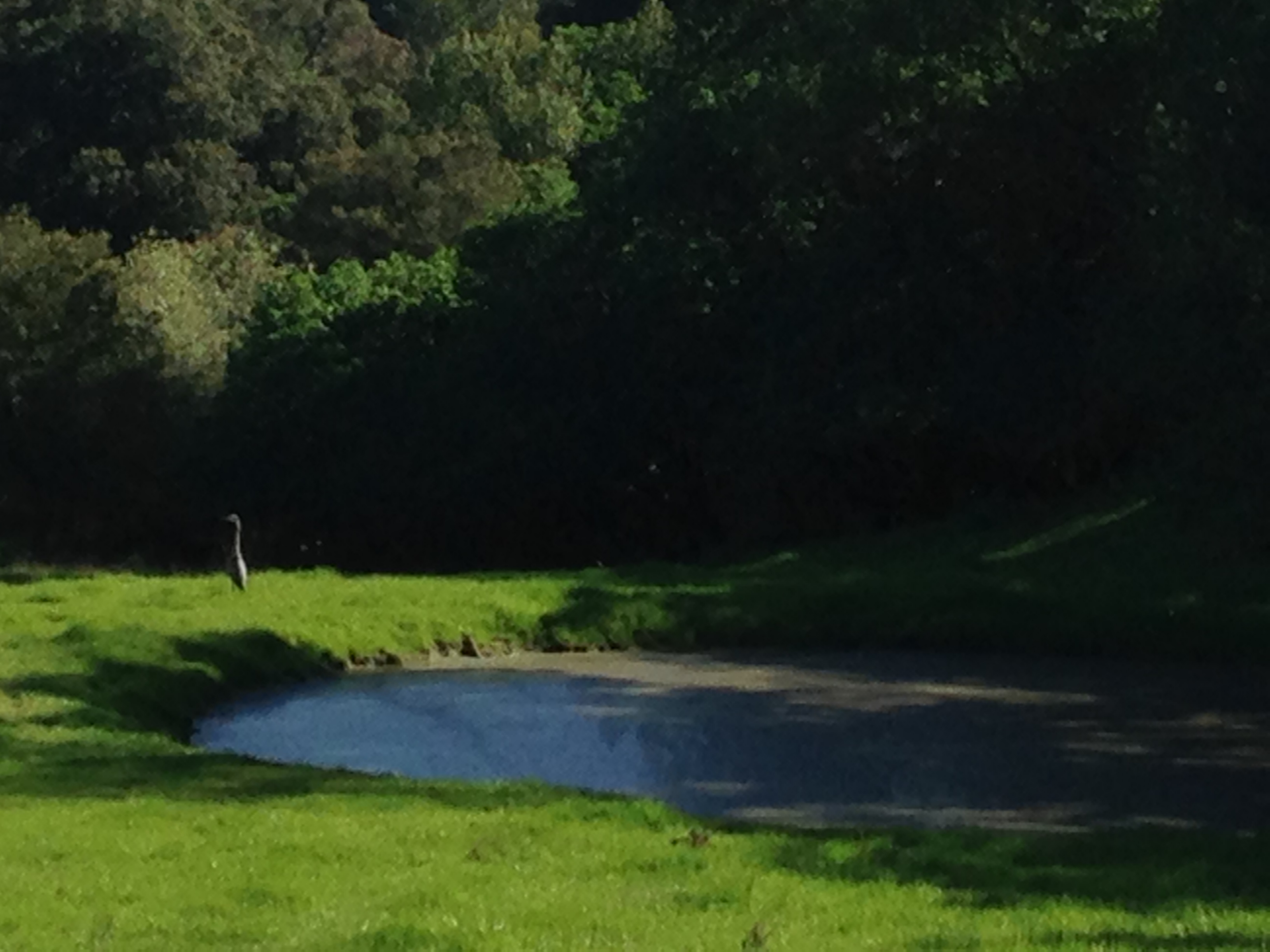
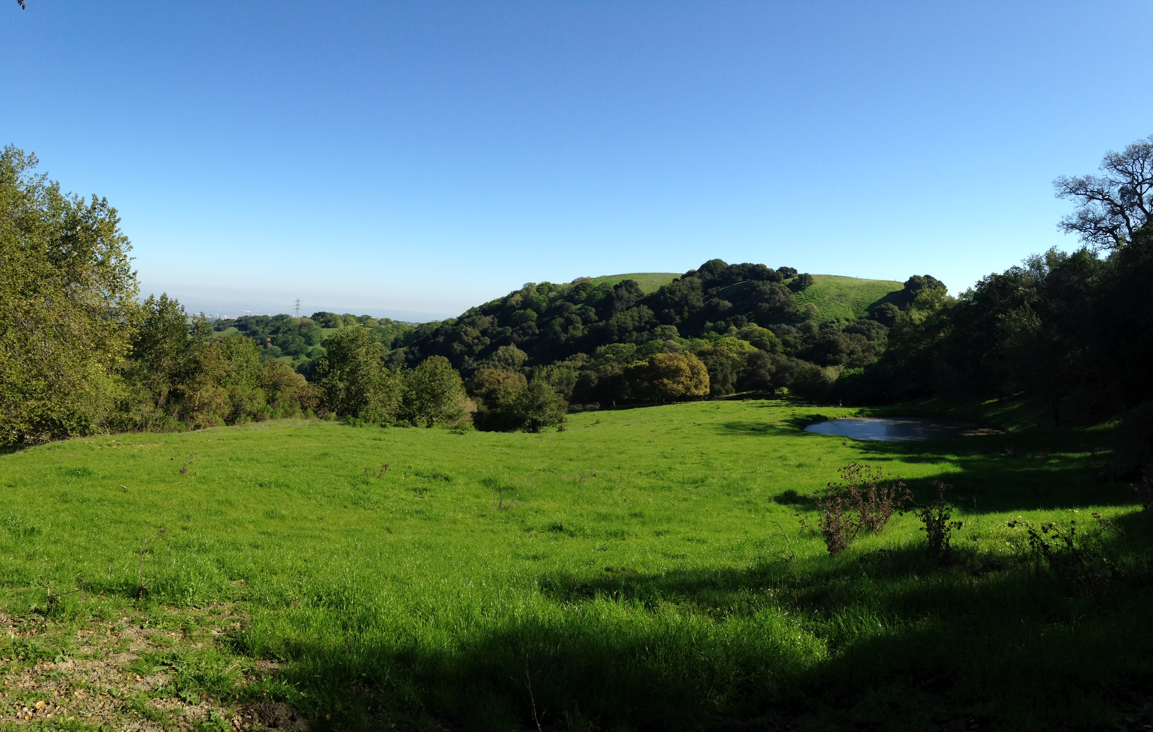
 The views at the top were amazing.
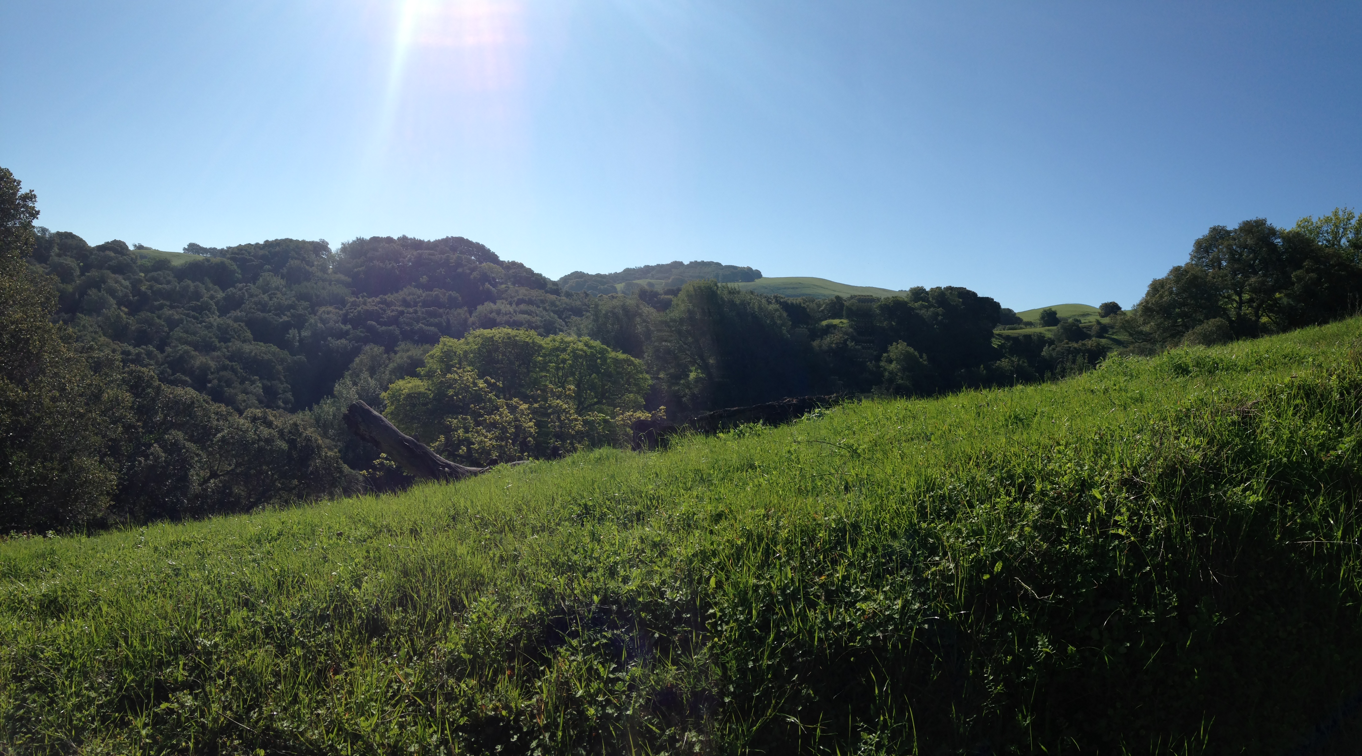
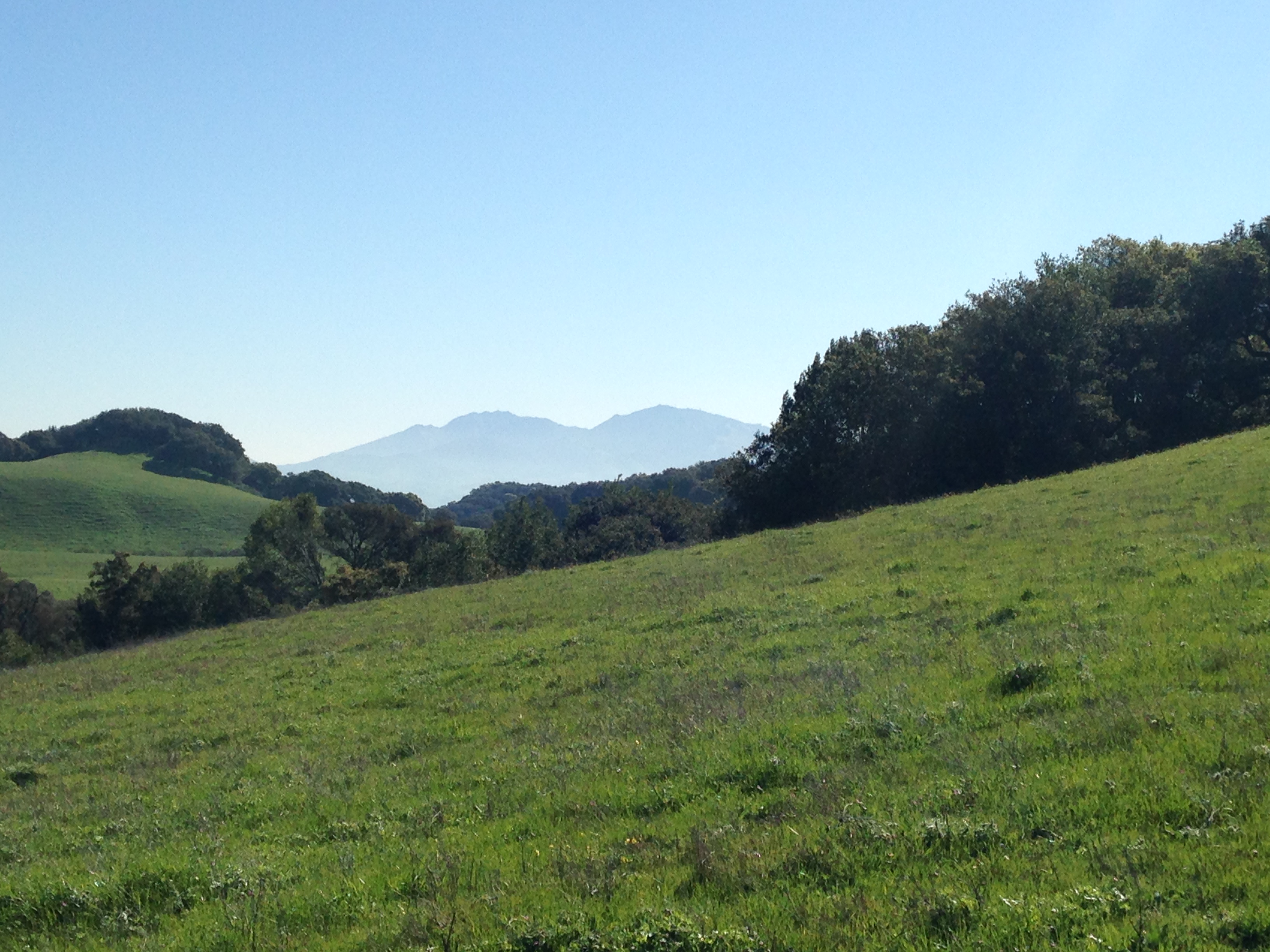 This picture show Mount Diablo in the background. We stayed to the left on the trail and came to another pond.
  At some point Tonyon Canyon Trail changes to Lagoon Trail. This was a bit confusing because we couldn’t see this on our map. We followed Lagoon trail to the left. It is hard to see it but this trail ends.
 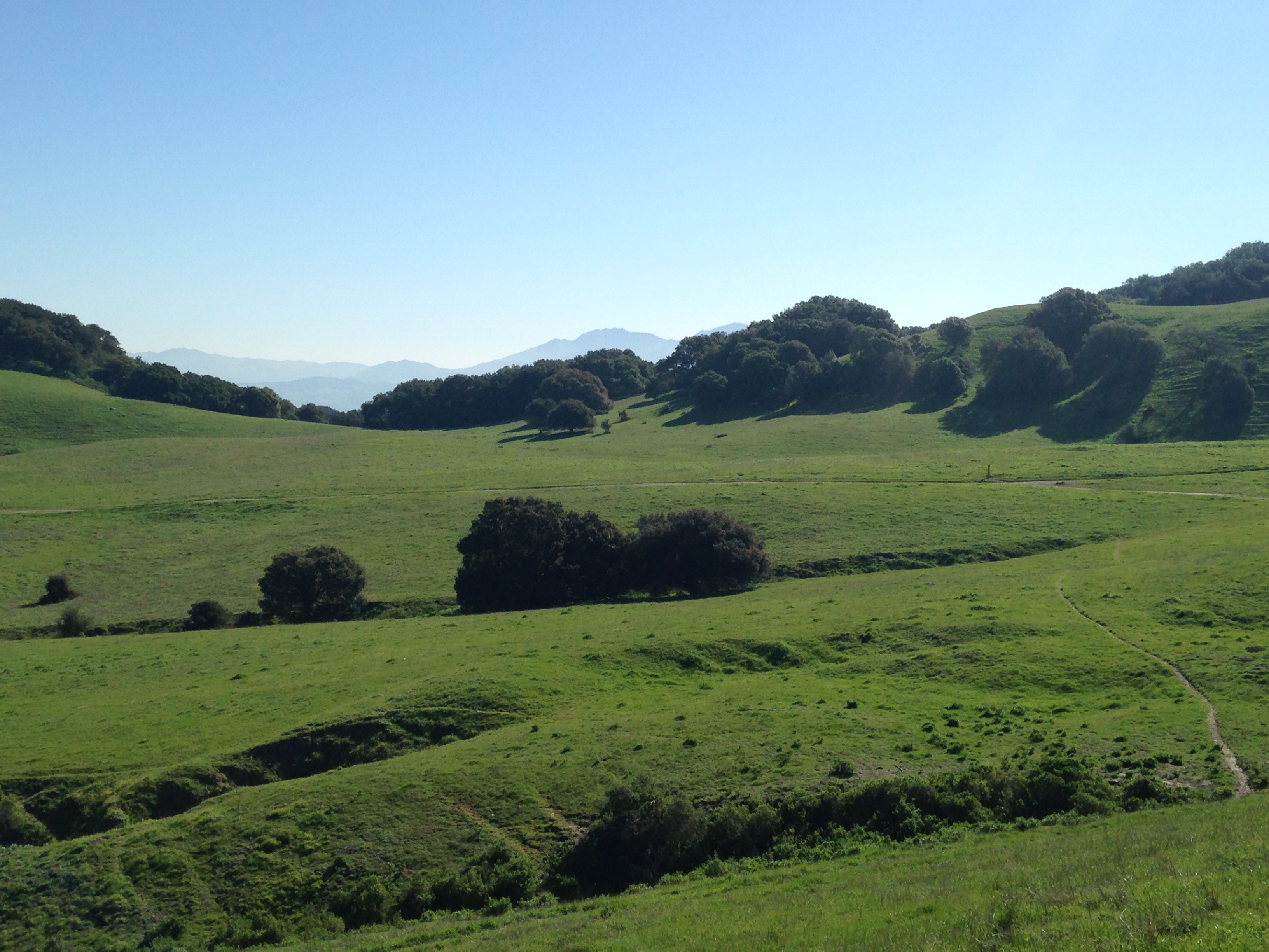 This is where we made the wrong turn. My map wasn’t clear. We could go left and take Briones Road or right which took us on the Briones Crest Trail. We took the Crest Trail.
 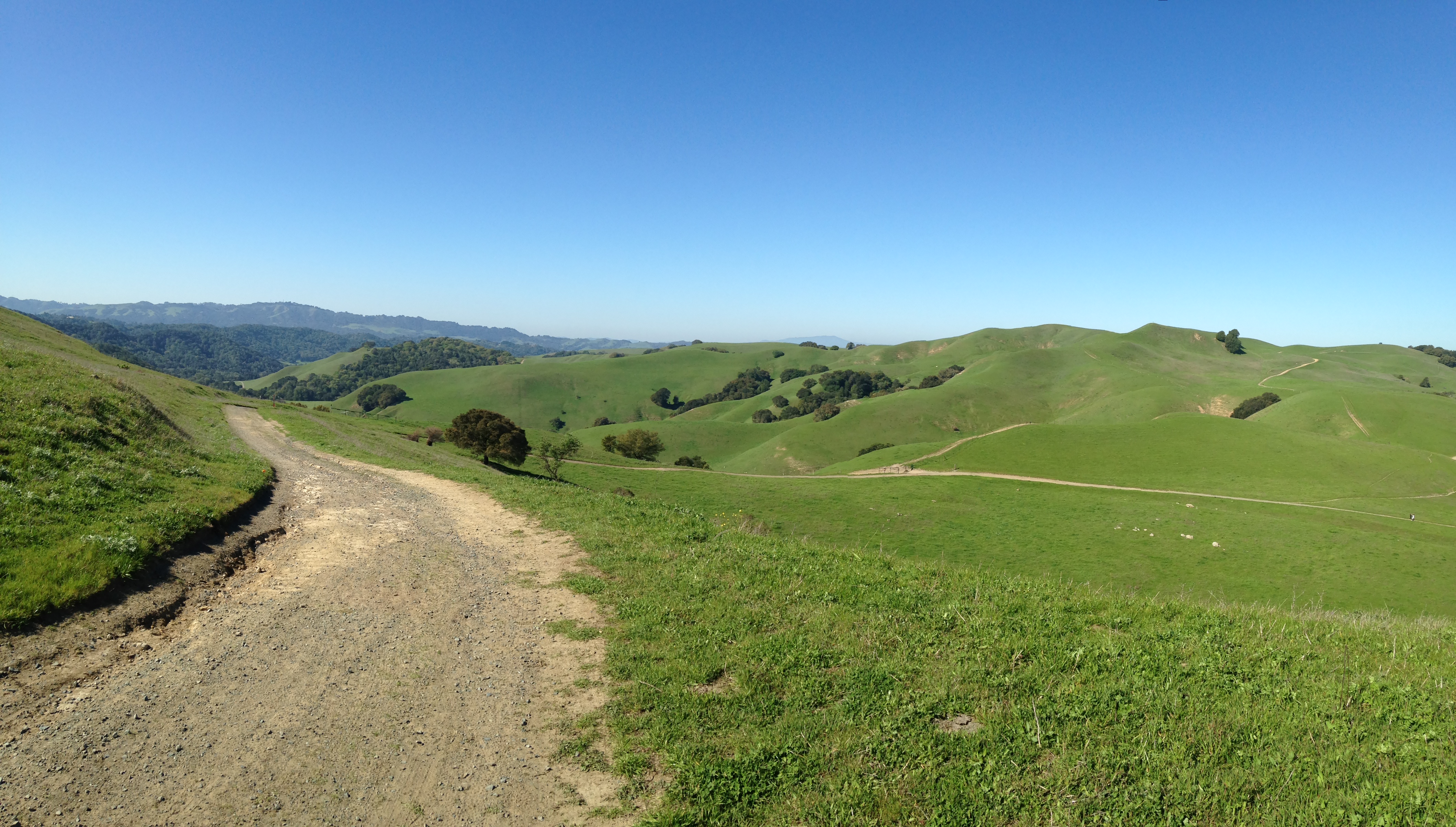 From this point on we tried to find the trails we were supposed to be hiking. We ended up on the Table Top Trail. At the top you find a bench and more views. The path is not marked but we took the trail to the left. After hiking for about another 15 minutes we came across the Spengler Trail. This was part of the original plan so we thought we had found our way back. We were wrong but the trail was still very enjoyable.
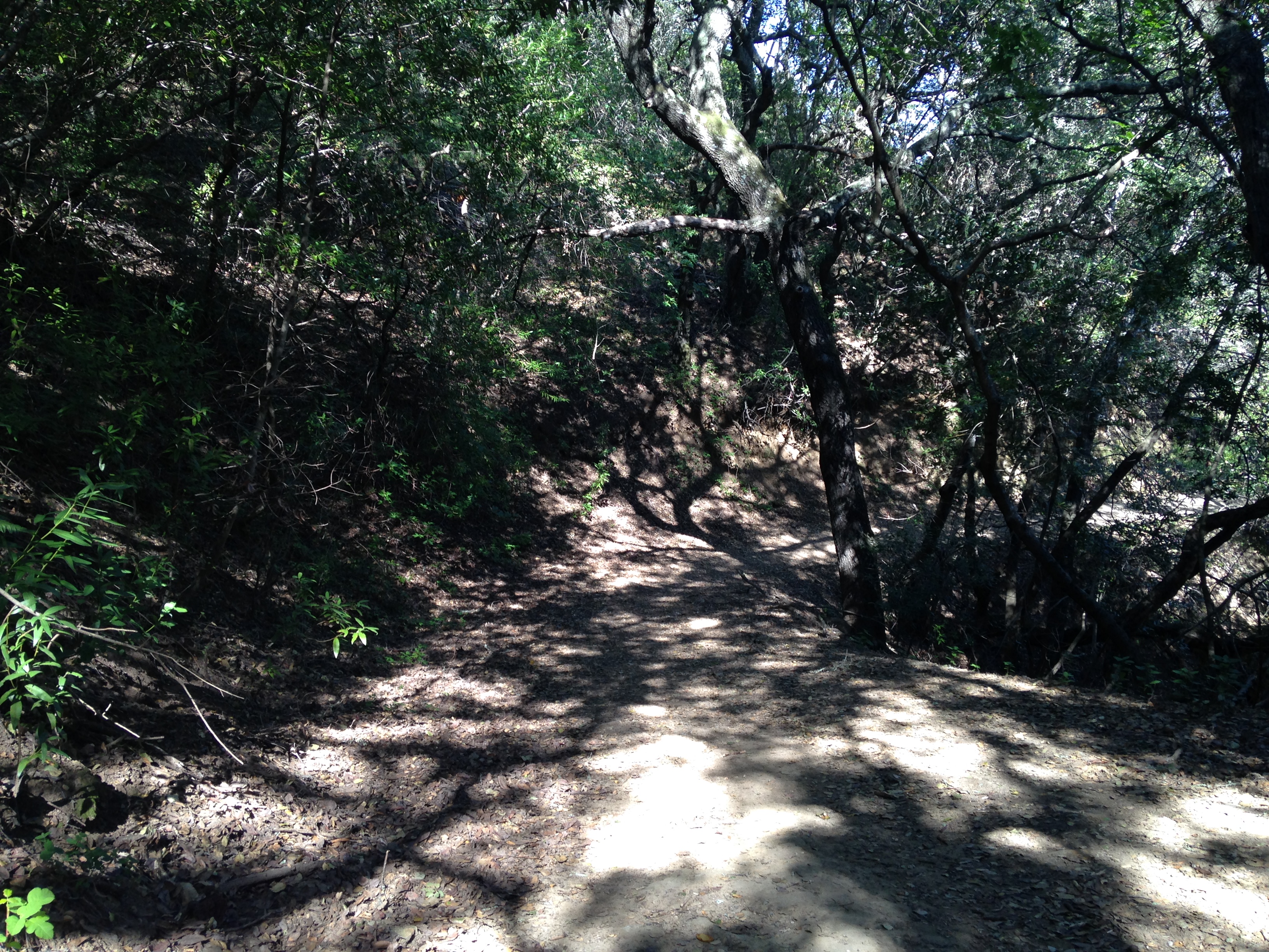
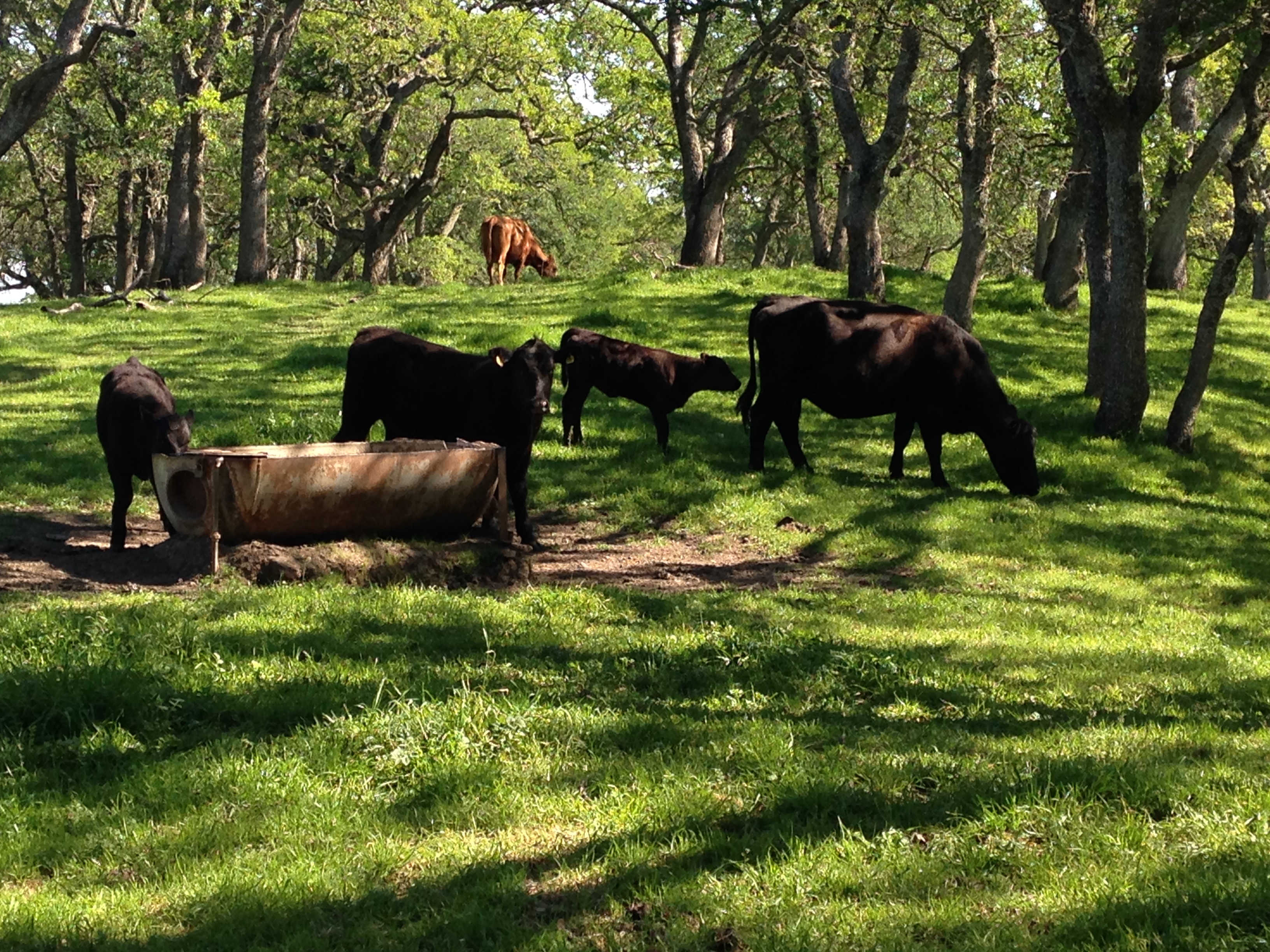
 We came up close and personal with some cows.
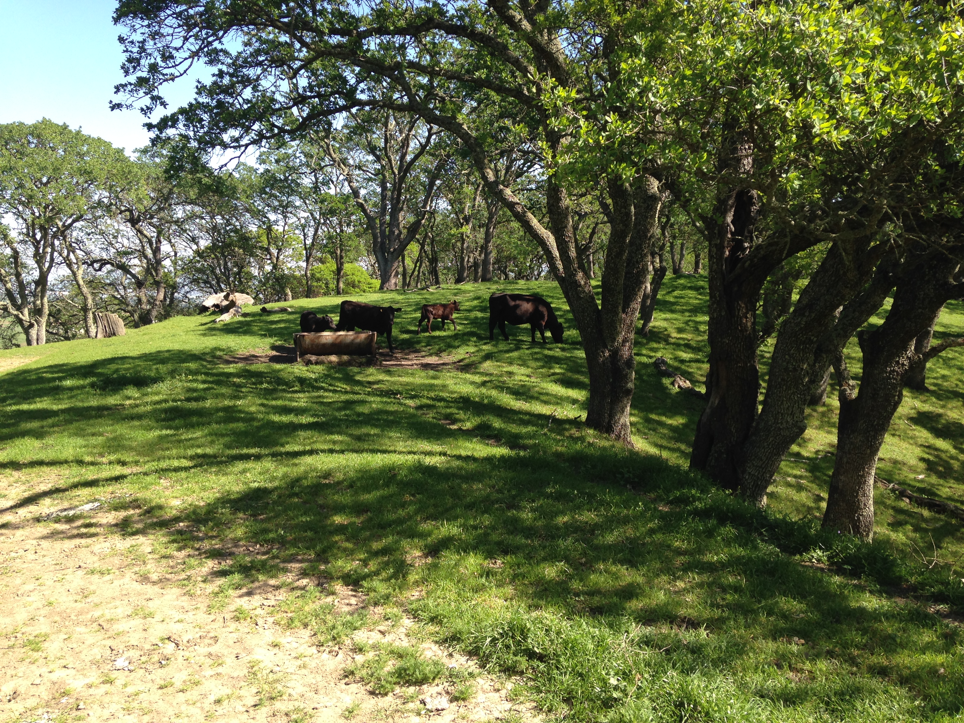
 This is the point we realized we really didn’t know where we were. I just purchased a garmin etrex 20 and this was it’s maiden voyage. I’m not quite sure how to use it completely but it was very uselful in helping us navigate our way back to the car. I found an old fire road that we took until we spotted a marked trail. We ended up on the Diablo View trail which took us back to our car. We did get lost but it really was worth it. The trip ended up being 7.72 miles, 2316 ft. elevation and took us 3.5 hrs. I loved it! I cannot wait to go back and actually figure out what the original route is like.
